
Stockton, Kansas
Locatie: Rooks County
Hoogte boven de zeespiegel: 549 m
Website: http://StocktonKansas.net
GPS-coördinaten: 39.43640,-99.27170
Laatste update: 7 april 2025 om 07:50
Fort Hays
64.3 km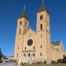
Basilica of St. Fidelis
65.4 km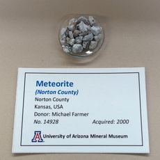
Norton County meteorite
58 km
Lewis Field
63.7 km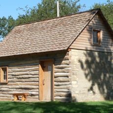
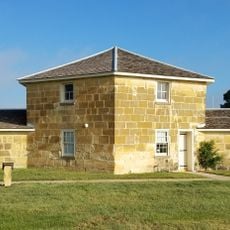
Home on the Range Cabin
57.6 km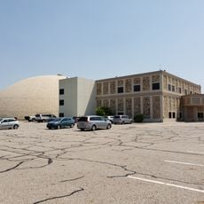
Sternberg Museum of Natural History
60.9 km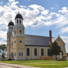
St. Joseph Catholic Church
30.1 km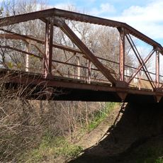
Prairie Dog Creek Bridge
65.7 km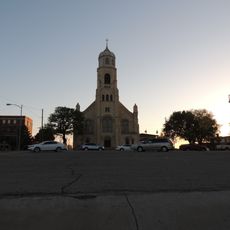
St. Joseph's Church and Parochial School
62.7 km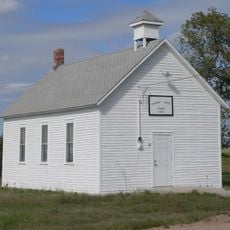
Pleasant Ridge Church
61.4 km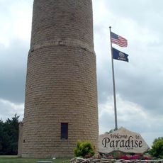
Paradise Water Tower
46.9 km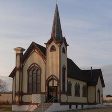
Natoma Presbyterian Church
34.9 km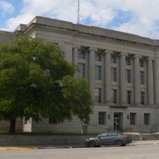
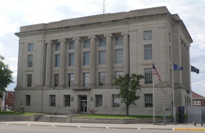
Rooks County Courthouse
245 m
Barbeau House
65.5 km
First National Bank Building
56.4 km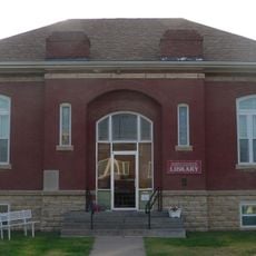
Downs Carnegie Library
62.9 km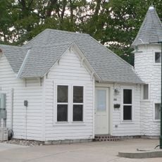
Justus Bissing Jr. Historic District
62.7 km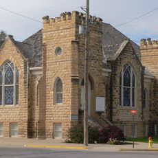
Ellis Congregational Church
60.6 km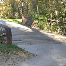
North Fork Solomon River Lattice Truss Bridge
67.1 km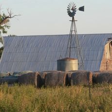
Harry Keith Barn
61.7 km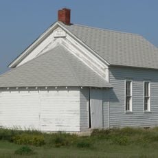
Hoff School District No. 42
34.8 km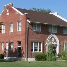
Kirwin City Hall
29.3 km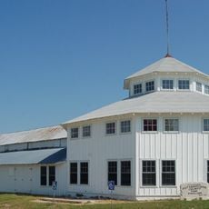
Pottawatomie County Fair Pavilion
13.8 km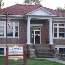
Osborne Public Carnegie Library
49.2 km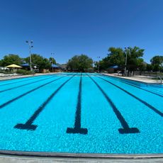
Hays Aquatic Park
63.7 km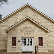
Nicodemus National Historic Site
30 km
Kirwin National Wildlife Refuge
24.1 km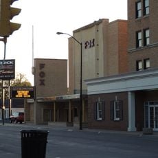
Fox Pavilion
62.9 kmBeoordelingen
Heeft u deze plek bezocht? Tik op de sterren om een beoordeling te geven en uw ervaring of foto's te delen met de community! Probeer het nu! U kunt het op elk moment annuleren.
Ontdek verborgen schatten op elk avontuur!
Van karakteristieke kleine cafeetjes tot geheime uitzichtpunten – ontvlucht de drukte en vind plekken die echt bij jou passen. Onze app maakt het makkelijk: spraakzoekopdrachten, slimme filters, geoptimaliseerde routes en authentieke tips van reizigers wereldwijd. Download nu en beleef het avontuur op je smartphone!

Een nieuwe benadering van toeristische ontdekking❞
— Le Figaro
Alle plekken die de moeite waard zijn om te ontdekken❞
— France Info
Een uitstapje op maat in slechts een paar klikken❞
— 20 Minutes