
St. Paul, town in Virginia
Locatie: Virginia
Hoogte boven de zeespiegel: 458 m
Website: http://stpaulva.org/Pages/default.aspx
GPS-coördinaten: 36.90560,-82.31030
Laatste update: 4 maart 2025 om 07:48

High Knob
28.5 km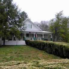
Maybelle and Ezra Carter House
27.1 km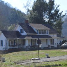
A. P. and Sara Carter House
27.9 km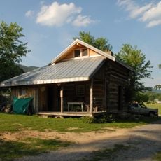
A. P. Carter Homeplace
27.6 km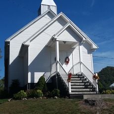
Mt. Vernon Methodist Church
26.4 km
Moonlite Drive-In
34.7 km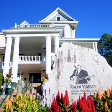
Ralph Stanley Museum
30.2 km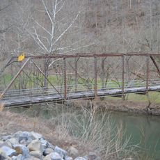
Blackford Bridge
27.5 km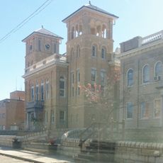
Wise County Courthouse
25.3 km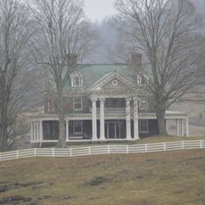
Carter Hill
9.7 km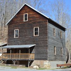
Bush Mill
12.5 km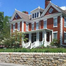
E. M. Fulton House
25.4 km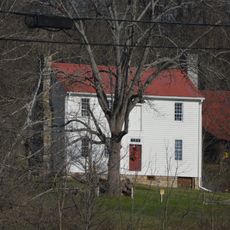
Walnut Grove
34.2 km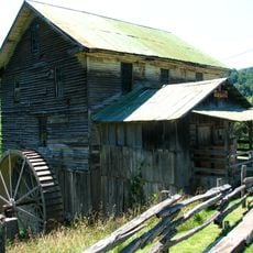
White's Mill
32.5 km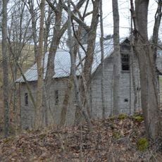
Jessees Mill
12.5 km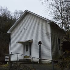
Castlerun Historic District
6.1 km
Devils Fork
31.9 km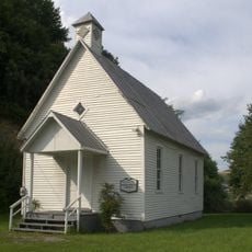
Virginia City Church
3.6 km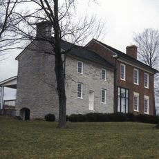
Old Russell County Courthouse
9.7 km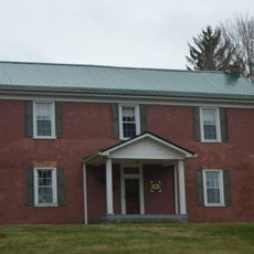
Samuel Gilmer House
24.2 km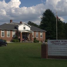
Tacoma School
20 km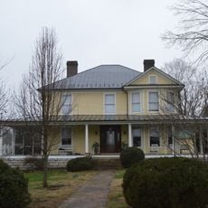
Stephen B. Quillen House
20.4 km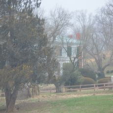
Smithfield (Rosedale, Virginia)
29.6 km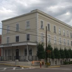
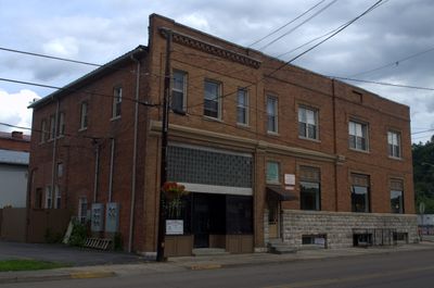
St. Paul Historic District (St. Paul, Virginia)
104 m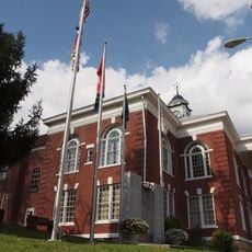
Dickenson County Courthouse
30.2 km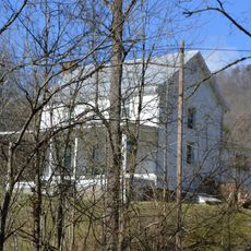
Fulkerson-Hilton House
30.8 km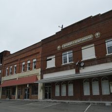
Honaker Commercial Historic District
6.1 km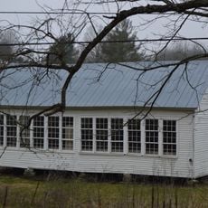
Mason-Dorton School
11.6 kmHeeft u deze plek bezocht? Tik op de sterren om een beoordeling te geven en uw ervaring of foto's te delen met de community! Probeer het nu! U kunt het op elk moment annuleren.
Ontdek verborgen schatten op elk avontuur!
Van karakteristieke kleine cafeetjes tot geheime uitzichtpunten – ontvlucht de drukte en vind plekken die echt bij jou passen. Onze app maakt het makkelijk: spraakzoekopdrachten, slimme filters, geoptimaliseerde routes en authentieke tips van reizigers wereldwijd. Download nu en beleef het avontuur op je smartphone!

Een nieuwe benadering van toeristische ontdekking❞
— Le Figaro
Alle plekken die de moeite waard zijn om te ontdekken❞
— France Info
Een uitstapje op maat in slechts een paar klikken❞
— 20 Minutes