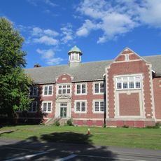
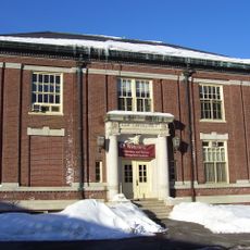
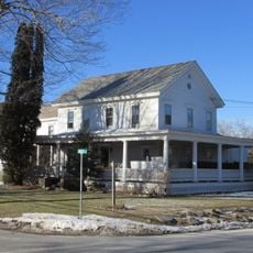
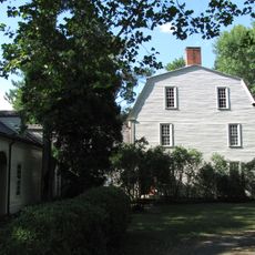
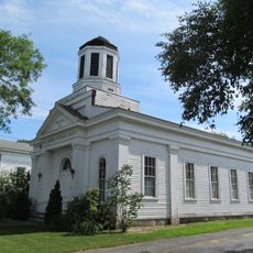
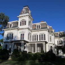
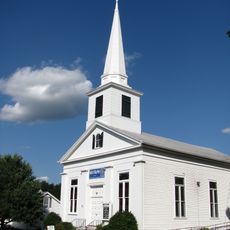
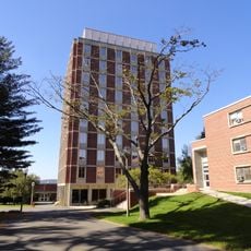
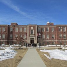
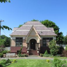
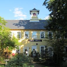
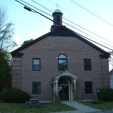
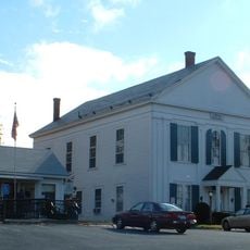
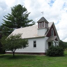
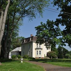
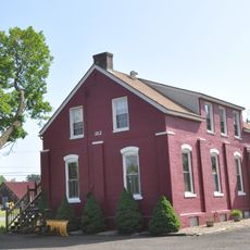
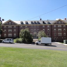
Whately, human settlement in Franklin County, Massachusetts, United States of America
Locatie: Franklin County
Ontstaan: 1672
Hoogte boven de zeespiegel: 88 m
Website: http://whately.org
GPS-coördinaten: 42.43333,-72.63333
Laatste update: 7 maart 2025 om 20:27
Buttonball Tree
6 km
Sugarloaf Mountain
5.3 km
William D. Mullins Memorial Center
9.6 km
Mount Sugarloaf State Reservation
5.3 km
John W. Lederle Graduate Research Center
9.7 km
Sunderland Bridge
5.5 km
Ellis Drive Historical Area
9.7 km
George N. Parks Minuteman Marching Band Building
9.7 km
Hatfield Center Historic District
8.4 km
Flint Laboratory
9.7 km
West Hatfield Historic District
6.8 km
Porter-Phelps-Huntington House
7.7 km
Williamsburg Center Historic District
9.2 km
Upper Main Street Historic District
5.9 km
North Hadley Historic District
6.5 km
John F. Thompson Hall
9.8 km
Marston Hall
9.6 km
North Amherst Center Historic District
8.8 km
Elm Street Historic District
8.3 km
Draper Hall Annex
9.7 km
Mill-Prospect Street Historic District
6.7 km
Conway Center Historic District
9.9 km
Whately Center Historic District
593 m
West Whately Historic District
4 km
Bradstreet Historic District
4.7 km
Old Mill Site Historic District
7.5 km
North Hatfield Historic District
2.8 km
Anna M. Johnson House
9.9 kmHeeft u deze plek bezocht? Tik op de sterren om een beoordeling te geven en uw ervaring of foto's te delen met de community! Probeer het nu! U kunt het op elk moment annuleren.
Ontdek verborgen schatten op elk avontuur!
Van karakteristieke kleine cafeetjes tot geheime uitzichtpunten – ontvlucht de drukte en vind plekken die echt bij jou passen. Onze app maakt het makkelijk: spraakzoekopdrachten, slimme filters, geoptimaliseerde routes en authentieke tips van reizigers wereldwijd. Download nu en beleef het avontuur op je smartphone!
Een nieuwe benadering van toeristische ontdekking❞
— Le Figaro
Alle plekken die de moeite waard zijn om te ontdekken❞
— France Info
Een uitstapje op maat in slechts een paar klikken❞
— 20 Minutes