Howard, South Dakota
Locatie: Miner County
Hoogte boven de zeespiegel: 480 m
Website: http://cityofhoward.com
GPS-coördinaten: 44.01056,-97.52639
Laatste update: 20 mei 2025 om 07:30
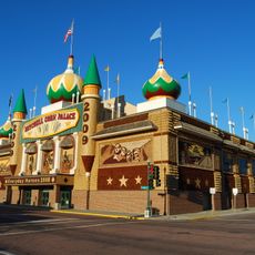
Corn Palace
51.9 km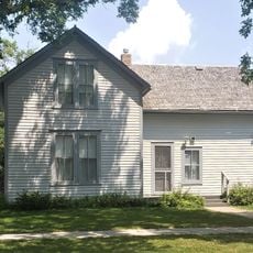
Ingalls House
41.8 km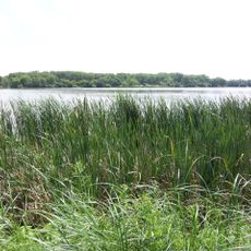
Oakwood Lakes State Park
65.4 km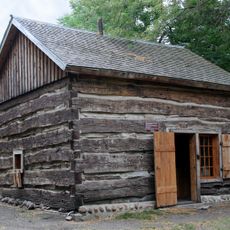
Lake Herman State Park
29.4 km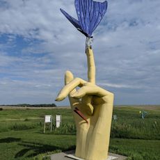
Porter Sculpture Park
47.7 km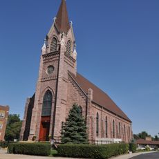
St. Mary's Catholic Church
33.5 km
Holy Family Church, School, and Rectory
51.9 km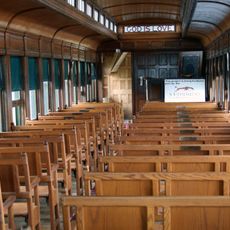
Chapel Emmanuel Railroad Car
28.9 km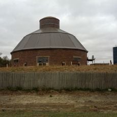
J. Whitney Goff Round Barn
18.4 km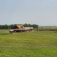
Laura Ingalls Wilder Homestead
39.8 km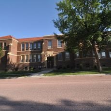
Whittier School
52.3 km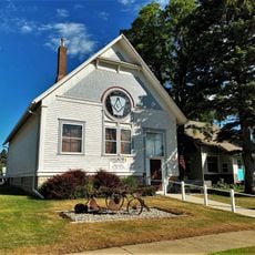
Arlington Masonic Temple
50.2 km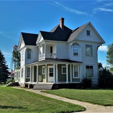
Adam and Minnie Royhl House
50.1 km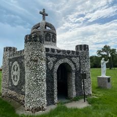
Saint Peter's Grotto
34.2 km
Mitchell West Central Residential Historic District
52.1 km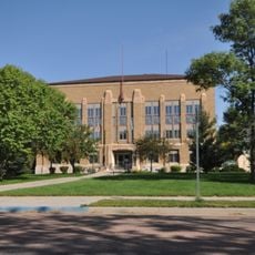
McCook County Courthouse
33.4 km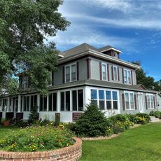
Thomas H. Ruth House
41.6 km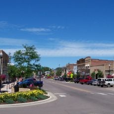
Brookings Commercial Historic District
67 km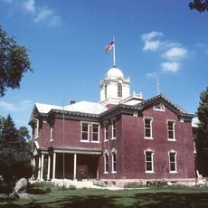
Kingsbury County Courthouse
41.8 km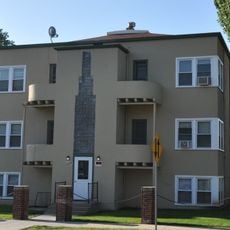
Koch Apartments
52.2 km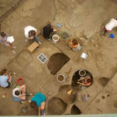
Mitchell Prehistoric Indian Village
50.5 km
Hitchcock Park
51.4 km
South Dakota Department of Transportation Bridge No. 03-327-230
52 km
McMonies Barn
64.4 km
Dimock (Dakota do Sul)
63.4 km
Mitchell Site
50.6 km
Kingsbury County Country Club
41.3 km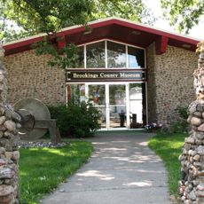
Brookings County Museum
59 kmHeeft u deze plek bezocht? Tik op de sterren om een beoordeling te geven en uw ervaring of foto's te delen met de community! Probeer het nu! U kunt het op elk moment annuleren.
Ontdek verborgen schatten op elk avontuur!
Van karakteristieke kleine cafeetjes tot geheime uitzichtpunten – ontvlucht de drukte en vind plekken die echt bij jou passen. Onze app maakt het makkelijk: spraakzoekopdrachten, slimme filters, geoptimaliseerde routes en authentieke tips van reizigers wereldwijd. Download nu en beleef het avontuur op je smartphone!

Een nieuwe benadering van toeristische ontdekking❞
— Le Figaro
Alle plekken die de moeite waard zijn om te ontdekken❞
— France Info
Een uitstapje op maat in slechts een paar klikken❞
— 20 Minutes