
Vinton, Iowa
Locatie: Benton County
Ontstaan: 1849
Hoogte boven de zeespiegel: 240 m
Website: http://vintoniowa.net
GPS-coördinaten: 42.16417,-92.02611
Laatste update: 3 maart 2025 om 15:02
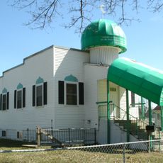
Mother Mosque of America
34.5 km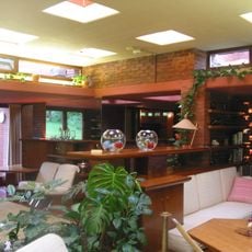
Cedar Rock State Park
34.2 km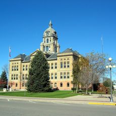
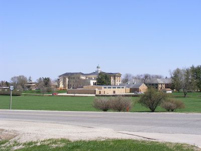
Benton County Courthouse
480 m
Vinton Public Library
387 m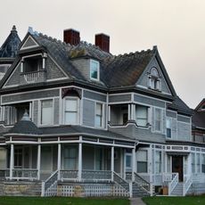
Frank G. Ray House & Carriage House
284 m
Lee House
35.6 km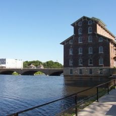
Wapsipinicon Mill
35.6 km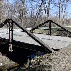
280th Street Bridge
25.5 km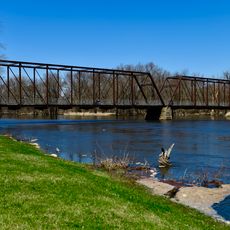
Chain Lakes Bridge
24.3 km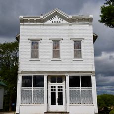
Odd Fellows Hall
31.5 km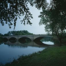
Wapsipinicon River Bridge
34.7 km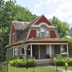
John N. and Mary McQuilken House
21.5 km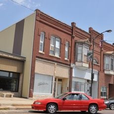
Chapple and Young Block
21.6 km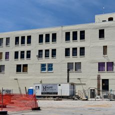
Overland Waterloo Company Building
28.3 km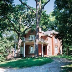
Philip A. Wolff House and Carriage House
34.3 km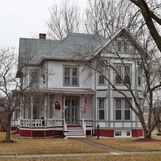
Robert R. and Julia L. Plane House
35.4 km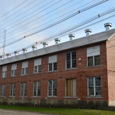
Iowa Canning Company Seed House Building
599 m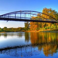
Taylor's Ford Bridge
31.5 km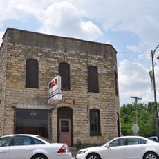
Dr. Jesse Wasson Building
21.7 km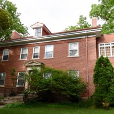
Dr. Judd C. and Margaret S. Clarke Shellito House
35.5 km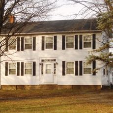
Taylor–Van Note House
28.1 km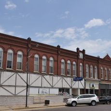
Syndicate Block
21.7 km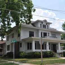
Clement B. Gingrich House
21.4 km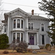
Eliphalet W. and Catherine E. Jaquish Purdy House
35.3 km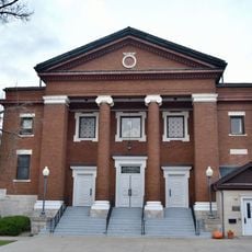
Central Vinton Residential Historic District
186 m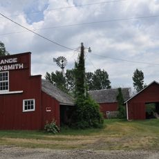
August H.J. and Justena Lange Farmstead Historic District
24.5 km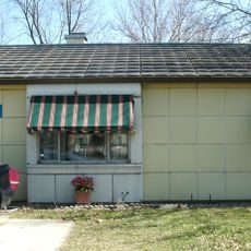
Lustron Home No. 02102
34.4 km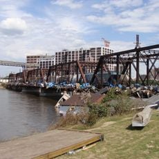
UP Cedar River Bridge
35.4 kmHeeft u deze plek bezocht? Tik op de sterren om een beoordeling te geven en uw ervaring of foto's te delen met de community! Probeer het nu! U kunt het op elk moment annuleren.
Ontdek verborgen schatten op elk avontuur!
Van karakteristieke kleine cafeetjes tot geheime uitzichtpunten – ontvlucht de drukte en vind plekken die echt bij jou passen. Onze app maakt het makkelijk: spraakzoekopdrachten, slimme filters, geoptimaliseerde routes en authentieke tips van reizigers wereldwijd. Download nu en beleef het avontuur op je smartphone!

Een nieuwe benadering van toeristische ontdekking❞
— Le Figaro
Alle plekken die de moeite waard zijn om te ontdekken❞
— France Info
Een uitstapje op maat in slechts een paar klikken❞
— 20 Minutes