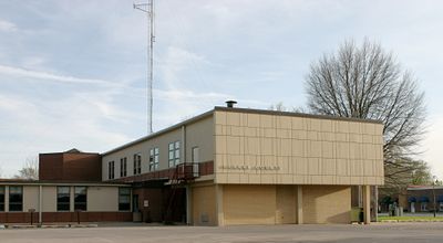
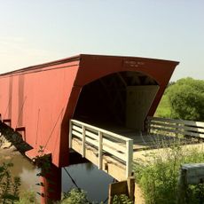
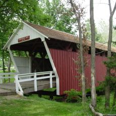
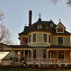
Osceola, Iowa
Locatie: Clarke County
Locatie: Iowa
Hoogte boven de zeespiegel: 348 m
GPS-coördinaten: 41.03417,-93.76833
Laatste update: 9 maart 2025 om 05:08
Holliwell Covered Bridge
35.9 km
Lake Ahquabi State Park
32.1 km
Imes Bridge
28.5 km
Cutler–Donahoe Bridge
38.5 km
C.S. Stearns House
27 km
Great Western Trail
37.9 km
J.V. Banta House
435 m
Decatur County Courthouse
32.7 km
Lucas County Courthouse Square Historic District
38.8 km
J.J. McClung House
25.9 km
Clarke County Courthouse
135 m
A. J. Stephens House
37.7 km
Wallace Hall
32.6 km
C.D. Bevington House and Stone Barn
38.7 km
Grand River Bridge
35.9 km
Dickinson Webster House
491 m
Hoosier Row School
32.6 km
Carl L. Caviness Post 102, American Legion
38.7 km
George H. and Alice Spaulding Cowles House
198 m
Marcellus Luther and Julia Protzman Temple House
558 m
Chariton Herald-Patriot Building
38.9 km
Chariton Masonic Temple
38.8 km
John and Mary Jane Kyte Farmstead District
14.4 km
C.D. and Eliza Heath Bevington Privy
38.7 km
Mahaska County Courthouse
30.9 km
Lucas County Courthouse
38.8 km
Octagon Barn, Otter Township
37.7 km
Masonic Building
251 mBeoordelingen
Heeft u deze plek bezocht? Tik op de sterren om een beoordeling te geven en uw ervaring of foto's te delen met de community! Probeer het nu! U kunt het op elk moment annuleren.
Ontdek verborgen schatten op elk avontuur!
Van karakteristieke kleine cafeetjes tot geheime uitzichtpunten – ontvlucht de drukte en vind plekken die echt bij jou passen. Onze app maakt het makkelijk: spraakzoekopdrachten, slimme filters, geoptimaliseerde routes en authentieke tips van reizigers wereldwijd. Download nu en beleef het avontuur op je smartphone!
Een nieuwe benadering van toeristische ontdekking❞
— Le Figaro
Alle plekken die de moeite waard zijn om te ontdekken❞
— France Info
Een uitstapje op maat in slechts een paar klikken❞
— 20 Minutes