
Hiawatha, Kansas
Locatie: Brown County
Ontstaan: 1857
Hoogte boven de zeespiegel: 345 m
Website: http://cityofhiawatha.org
GPS-coördinaten: 39.84917,-95.51583
Laatste update: 16 maart 2025 om 00:22
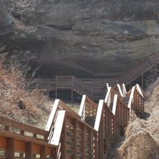
Indian Cave State Park
45.1 km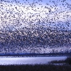
Loess Bluffs National Wildlife Refuge
34.8 km
Big Lake State Park
30.1 km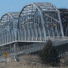
Rulo Bridge
24.2 km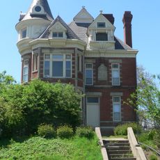
McInteer Villa
45.7 km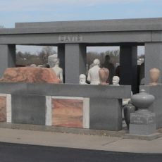
Davis Memorial
15 m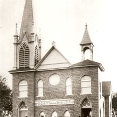
St. John's Evangelical Lutheran Church
44.7 km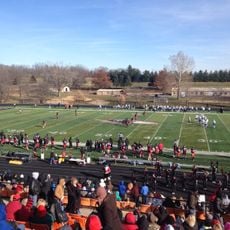
Larry Wilcox Stadium
45.9 km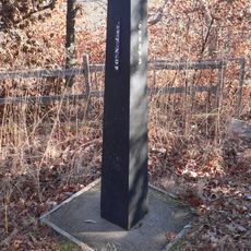
Site No. RH00-062
23 km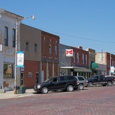
Doniphan County Courthouse Square Historic District
37.2 km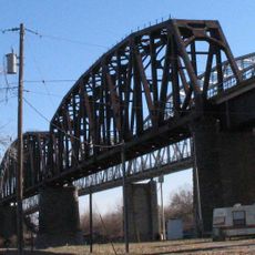
Rulo Rail Bridge
24.2 km
Ebenezer Baptist Church
45.8 km
Old Albany Schoolhouse
26.7 km
Itha T. Krumme Memorial Arboretum
25.9 km
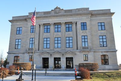
Doniphan County Courthouse
37.2 km
Irvin Hall
21 km
White Cloud Historic District
23.4 km
A. J. Harwi House
45.8 km
Francis and Harriet Baker House
46 km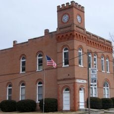
City Hall
31.5 km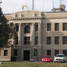
Richardson County Courthouse
24.8 km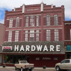
Gehling's Theatre
24.6 km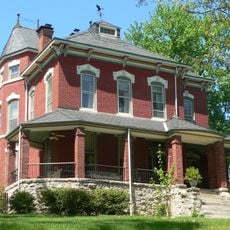
Edgar W. Howe House
45.8 km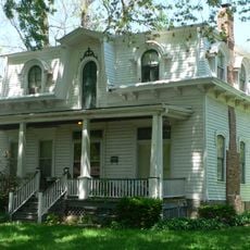
Balie P. Waggener House
46 km
Lake Nemaha Dam Guardrail
45.4 km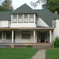
Gov. Arthur J. Weaver House
24.9 km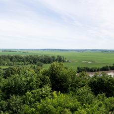
Four State Lookout
23.5 km
Amelia Earhart Hangar Museum
42.6 kmHeeft u deze plek bezocht? Tik op de sterren om een beoordeling te geven en uw ervaring of foto's te delen met de community! Probeer het nu! U kunt het op elk moment annuleren.
Ontdek verborgen schatten op elk avontuur!
Van karakteristieke kleine cafeetjes tot geheime uitzichtpunten – ontvlucht de drukte en vind plekken die echt bij jou passen. Onze app maakt het makkelijk: spraakzoekopdrachten, slimme filters, geoptimaliseerde routes en authentieke tips van reizigers wereldwijd. Download nu en beleef het avontuur op je smartphone!

Een nieuwe benadering van toeristische ontdekking❞
— Le Figaro
Alle plekken die de moeite waard zijn om te ontdekken❞
— France Info
Een uitstapje op maat in slechts een paar klikken❞
— 20 Minutes