
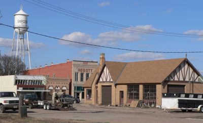
Sargent, plaats in Nebraska
Locatie: Custer County
Hoogte boven de zeespiegel: 706 m
GPS-coördinaten: 41.64083,-99.37167
Laatste update: 10 maart 2025 om 09:46
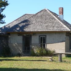
Dowse Sod House
17.1 km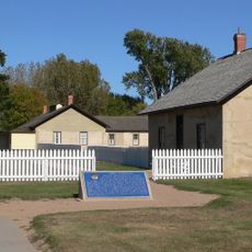
Fort Hartsuff State Historical Park
30.4 km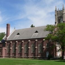
St. Anselm's Catholic Church, Rectory and Parish Hall
41.3 km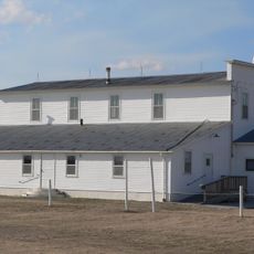
Rad Slavin cis. 112 Z.C.B.J. Hall
18.3 km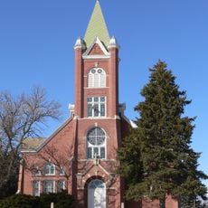
Church of the Visitation of the Blessed Virgin Mary
76.1 km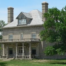
A.T. Ranch Headquarters
80 km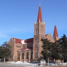
St. Michael's Catholic Church Complex
84.1 km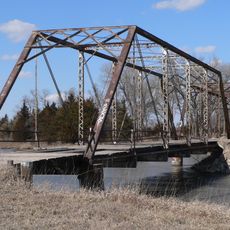
Sargent Bridge
1.5 km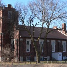
St. Peder's Dansk Evangelical Lutheran Kirke
84.8 km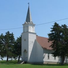
Dannevirke Danish Lutheran Church and Community Hall
65.7 km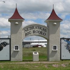
Garfield County Frontier Fairgrounds
25.5 km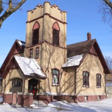
First Presbyterian Church
84.4 km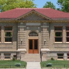
Loup City Township Carnegie Library
52.8 km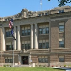
Howard County Courthouse
89.8 km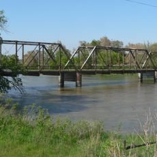
North Loup Bridge
53.6 km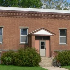
Burwell Carnegie Library
25.3 km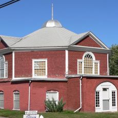
People's Unitarian Church
37 km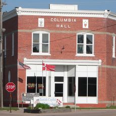
Columbia Hall
90.1 km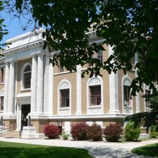
Sherman County Courthouse
52.9 km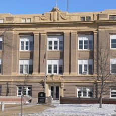
Greeley County Courthouse
70.8 km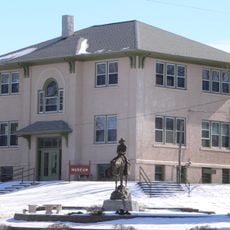
Former Wheeler County Courthouse
73.3 km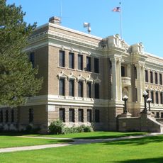
Valley County Courthouse
37.2 km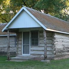
Custer County Courthouse
60.1 km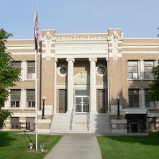
Custer County Courthouse
34.8 km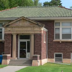
Brenizer Library
36.8 km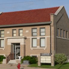
Broken Bow Carnegie Library
34.7 km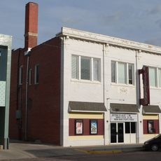
Tiffany Theater
34.7 km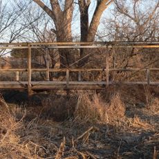
Sweetwater Mill Bridge
73.4 kmBeoordelingen
Heeft u deze plek bezocht? Tik op de sterren om een beoordeling te geven en uw ervaring of foto's te delen met de community! Probeer het nu! U kunt het op elk moment annuleren.
Ontdek verborgen schatten op elk avontuur!
Van karakteristieke kleine cafeetjes tot geheime uitzichtpunten – ontvlucht de drukte en vind plekken die echt bij jou passen. Onze app maakt het makkelijk: spraakzoekopdrachten, slimme filters, geoptimaliseerde routes en authentieke tips van reizigers wereldwijd. Download nu en beleef het avontuur op je smartphone!

Een nieuwe benadering van toeristische ontdekking❞
— Le Figaro
Alle plekken die de moeite waard zijn om te ontdekken❞
— France Info
Een uitstapje op maat in slechts een paar klikken❞
— 20 Minutes