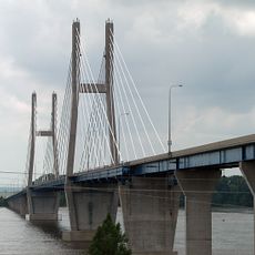
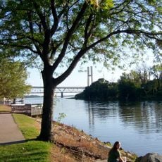
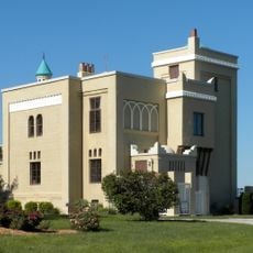
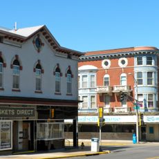
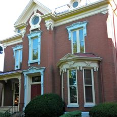
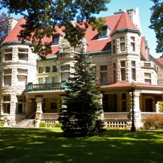
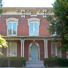
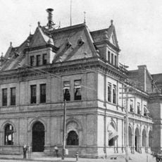
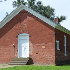
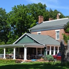
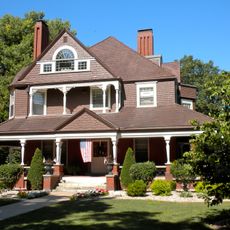
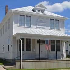
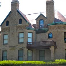
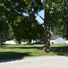
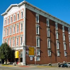
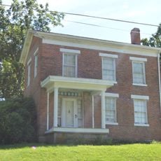
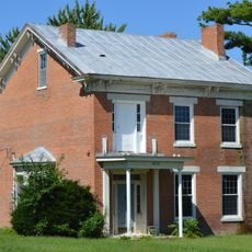
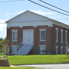
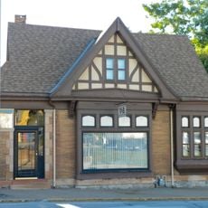
Canton, Missouri
Locatie: Lewis County
Ontstaan: 1830
Hoogte boven de zeespiegel: 183 m
GPS-coördinaten: 40.13056,-91.52250
Laatste update: 11 april 2025 om 18:44
Bayview Bridge
23.6 km
Quincy Memorial Bridge
23.8 km
Wakonda State Park
13.7 km
Downtown Quincy Historic District
24.1 km
Villa Kathrine
24.6 km
South Side German Historic District
24.9 km
Lock and Dam No. 20
1.9 km
John Wood Mansion
25.1 km
Quincy Rail Bridge
22.4 km
Lewis Round Barn
20.8 km
Adams County Courthouse
23.9 km
Robert W. Gardner House
23.8 km
Richard F. Newcomb House
24.8 km
Morgan-Wells House
24.2 km
United States Post Office and Courthouse
24.2 km
Lincoln School
754 m
A.C. Waltman House
10.2 km
Quincy East End Historic District
25.1 km
Quincy Northwest Historic District
22.9 km
Ursa Town Hall
14.7 km
State Savings Loan and Trust
24.1 km
William S. Warfield House
24.9 km
John McKoon House
9.7 km
S.J. Lesem Building
23.7 km
William Gray House
9.9 km
Dr. J.A. Hay House
9.7 km
First Presbyterian Church
9.8 km
One Thirty North Eighth Building
24.3 kmHeeft u deze plek bezocht? Tik op de sterren om een beoordeling te geven en uw ervaring of foto's te delen met de community! Probeer het nu! U kunt het op elk moment annuleren.
Ontdek verborgen schatten op elk avontuur!
Van karakteristieke kleine cafeetjes tot geheime uitzichtpunten – ontvlucht de drukte en vind plekken die echt bij jou passen. Onze app maakt het makkelijk: spraakzoekopdrachten, slimme filters, geoptimaliseerde routes en authentieke tips van reizigers wereldwijd. Download nu en beleef het avontuur op je smartphone!
Een nieuwe benadering van toeristische ontdekking❞
— Le Figaro
Alle plekken die de moeite waard zijn om te ontdekken❞
— France Info
Een uitstapje op maat in slechts een paar klikken❞
— 20 Minutes