
Burwell, Nebraska
Locatie: Garfield County
Hoogte boven de zeespiegel: 663 m
GPS-coördinaten: 41.78139,-99.13417
Laatste update: 19 maart 2025 om 21:07
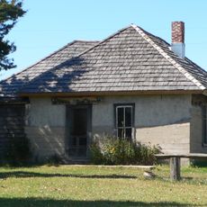
Dowse Sod House
31.9 km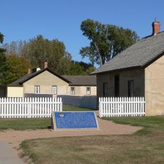
Fort Hartsuff State Historical Park
11.2 km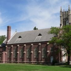
St. Anselm's Catholic Church, Rectory and Parish Hall
63.6 km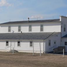
Rad Slavin cis. 112 Z.C.B.J. Hall
19.1 km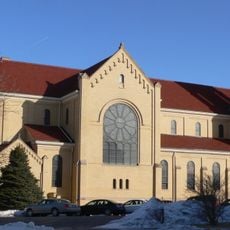
St. Anthony's Church and School
85.4 km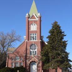
Church of the Visitation of the Blessed Virgin Mary
62.6 km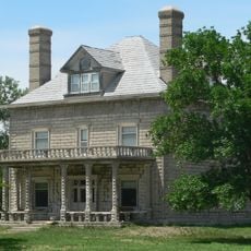
A.T. Ranch Headquarters
55.8 km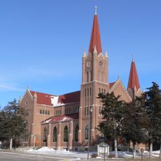
St. Michael's Catholic Church Complex
64.9 km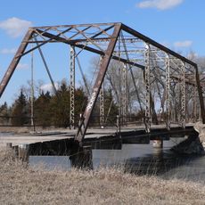
Sargent Bridge
26.2 km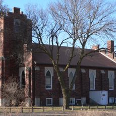
St. Peder's Dansk Evangelical Lutheran Kirke
84.1 km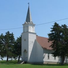
Dannevirke Danish Lutheran Church and Community Hall
62.3 km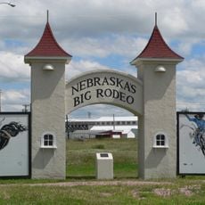
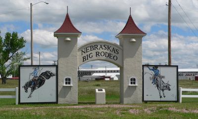
Garfield County Frontier Fairgrounds
1.1 km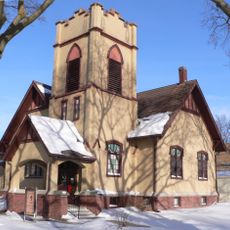
First Presbyterian Church
65.3 km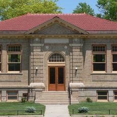
Loup City Township Carnegie Library
58 km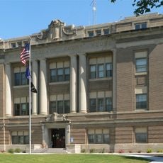
Howard County Courthouse
84.6 km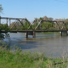
North Loup Bridge
43.9 km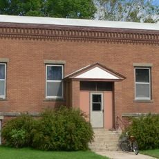
Burwell Carnegie Library
131 m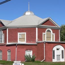
People's Unitarian Church
26.3 km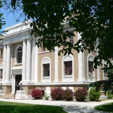
Sherman County Courthouse
58.1 km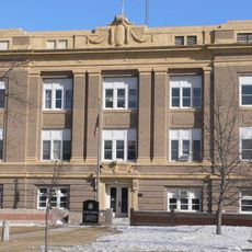
Greeley County Courthouse
56.6 km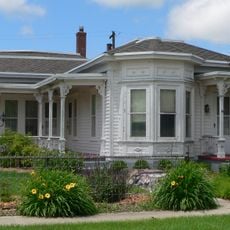
Brantly Sturdevant House
84.2 km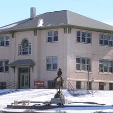
Former Wheeler County Courthouse
49.7 km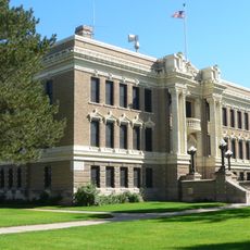
Valley County Courthouse
26.3 km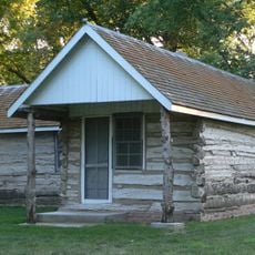
Custer County Courthouse
85.3 km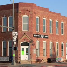
Old Nebraska State Bank Building
85.3 km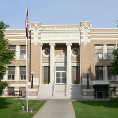
Custer County Courthouse
59.7 km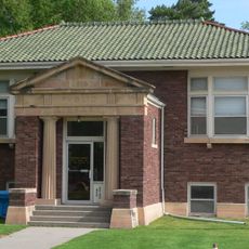
Brenizer Library
61.8 km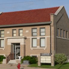
Broken Bow Carnegie Library
59.6 kmBeoordelingen
Heeft u deze plek bezocht? Tik op de sterren om een beoordeling te geven en uw ervaring of foto's te delen met de community! Probeer het nu! U kunt het op elk moment annuleren.
Ontdek verborgen schatten op elk avontuur!
Van karakteristieke kleine cafeetjes tot geheime uitzichtpunten – ontvlucht de drukte en vind plekken die echt bij jou passen. Onze app maakt het makkelijk: spraakzoekopdrachten, slimme filters, geoptimaliseerde routes en authentieke tips van reizigers wereldwijd. Download nu en beleef het avontuur op je smartphone!

Een nieuwe benadering van toeristische ontdekking❞
— Le Figaro
Alle plekken die de moeite waard zijn om te ontdekken❞
— France Info
Een uitstapje op maat in slechts een paar klikken❞
— 20 Minutes