
Wessington, village and civil parish in North East Derbyshire, England
Locatie: North East Derbyshire
GPS-coördinaten: 53.11597,-1.44664
Laatste update: 14 maart 2025 om 04:10

Wingfield Manor
3 km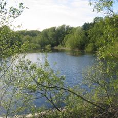
Ogston Reservoir
2.5 km
Ogston Hall
2.1 km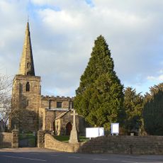
Church of St Mary
3.9 km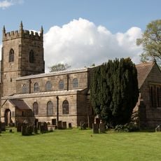
All Saints' Church, South Wingfield
2.3 km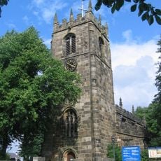
St Leonard's Church
2.9 km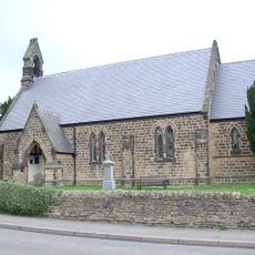
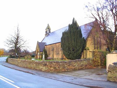
Christ Church
223 m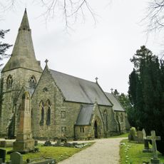
Holy Trinity Church
1.2 km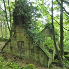
Ruins of Trinity Chapel
2 km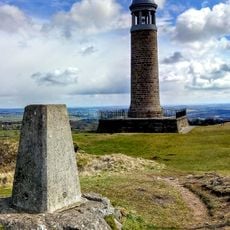
Sherwood Foresters Memorial Tower
3.7 km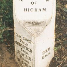
Mile Post 14 Metres North Of Quarry Farmhouse, Higham
2.5 km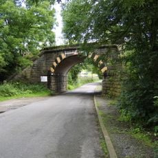
Amber Mill Bridge
1.9 km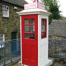
K1 Telephone Box At The National Tramway Museum
4 km
Wingfield Hall
2.8 km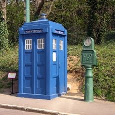
Metropolitan Police Public Call Post At The National Tramway Museum
3.9 km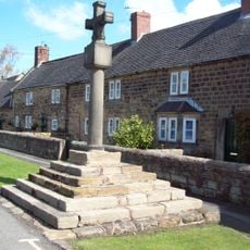
Village Cross, Higham
2.3 km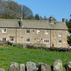
Clattercotes Farmhouse
2.9 km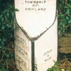
Mile Post 10 Metres South East Of Carr Hill Farmhouse
2.1 km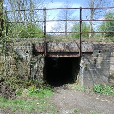
South Wingfield Footpath Bridge (Spc8 56)
2.7 km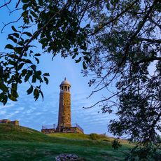
Crich Stand Tower
3.7 km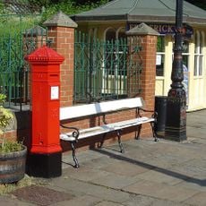
Penfold post box at the National Tramway Museum
3.9 km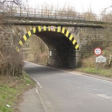
Railway Bridge To The South East Of Dale Bridge
2.1 km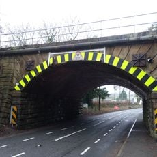
Railway Bridge South Of South Wingfield Stationmaster's House
2.5 km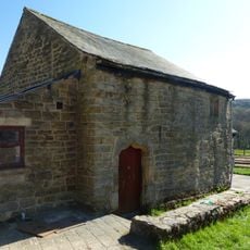
Outbuilding to the south of Clattercotes Farmhouse
2.8 km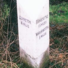
Milepost, bottom of hill, NE of Crich village
3.6 km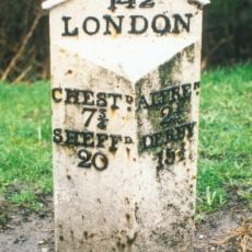
Milepost, roadside at SK393591
2.5 km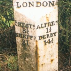
Milepost, roadside at SK404579
3.3 km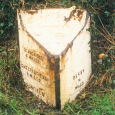
Milepost, S of Toadhole Furnace
2.2 kmHeeft u deze plek bezocht? Tik op de sterren om een beoordeling te geven en uw ervaring of foto's te delen met de community! Probeer het nu! U kunt het op elk moment annuleren.
Ontdek verborgen schatten op elk avontuur!
Van karakteristieke kleine cafeetjes tot geheime uitzichtpunten – ontvlucht de drukte en vind plekken die echt bij jou passen. Onze app maakt het makkelijk: spraakzoekopdrachten, slimme filters, geoptimaliseerde routes en authentieke tips van reizigers wereldwijd. Download nu en beleef het avontuur op je smartphone!

Een nieuwe benadering van toeristische ontdekking❞
— Le Figaro
Alle plekken die de moeite waard zijn om te ontdekken❞
— France Info
Een uitstapje op maat in slechts een paar klikken❞
— 20 Minutes