
Whilton, village and civil parish in Northamptonshire, United Kingdom
Locatie: West Northamptonshire
GPS-coördinaten: 52.27770,-1.08153
Laatste update: 3 maart 2025 om 01:25
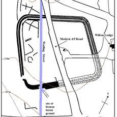
Bannaventa
1.4 km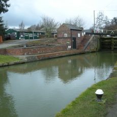
Whilton Locks
1.1 km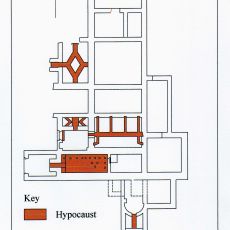
Borough Hill Roman villa
4.6 km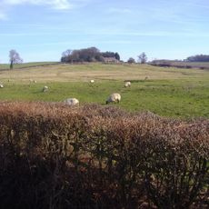
Muscott
1.6 km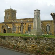
Church of St Lawrence
3 km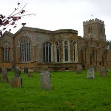
Church of St Mary the Virgin, Great Brington
4 km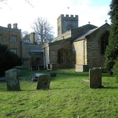
Church of St Peter and St Paul
2.2 km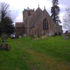
Church of St Mary the Virgin
4.5 km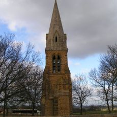
St Johns Church Tower
3.8 km
Church of All Saints
2.7 km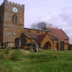
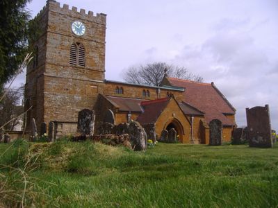
Church of St Andrew
872 m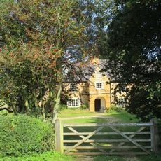
The Porch House
4.2 km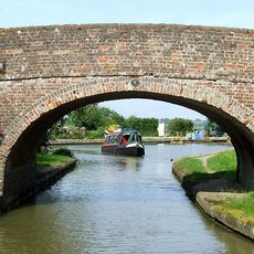
Grand Union Canal Bridge Number 10 At Sp 602 656
2.7 km
Grand Union Canal Lower Gate House
1 km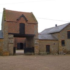
Gatehouse At Muscott House
1.6 km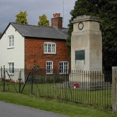
Great Brington War Memorial
3.9 km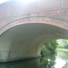
Grand Union Canal Long Buckby Wharf Bridge Number 12
2.1 km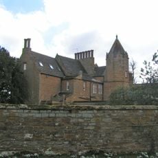
Green Meadow
4 km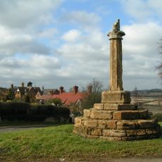
Cross, Approximately 40 Metres South West Of St Mary's Church
3.9 km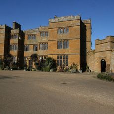
The Hall
2.2 km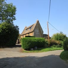
The Old School House
4.4 km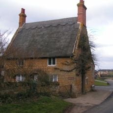
The Old Forge
3.3 km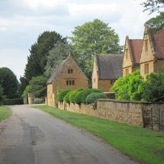
Manor Farmhouse
2.2 km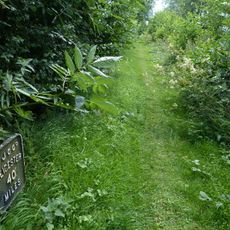
Grand Union Canal Leicester Line Milepost South Of Bridge Number 5 At Sp597 673
4 km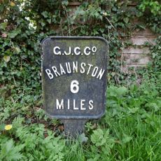
Milespost 3 Metres West Of Windlass Cottage By Towpath Of Grand Union Canal
1.1 km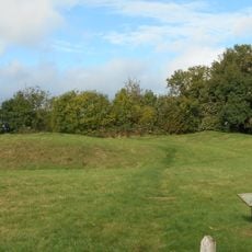
Long Buckby ringwork and bailey
2.7 km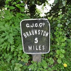
Grand Union Canal Long Buckby Wharf Milepost Approximately 16 Metres From Lock Number 9
1.4 km
Manor Farm, Cottage Used As Outbuilding
2.2 kmHeeft u deze plek bezocht? Tik op de sterren om een beoordeling te geven en uw ervaring of foto's te delen met de community! Probeer het nu! U kunt het op elk moment annuleren.
Ontdek verborgen schatten op elk avontuur!
Van karakteristieke kleine cafeetjes tot geheime uitzichtpunten – ontvlucht de drukte en vind plekken die echt bij jou passen. Onze app maakt het makkelijk: spraakzoekopdrachten, slimme filters, geoptimaliseerde routes en authentieke tips van reizigers wereldwijd. Download nu en beleef het avontuur op je smartphone!

Een nieuwe benadering van toeristische ontdekking❞
— Le Figaro
Alle plekken die de moeite waard zijn om te ontdekken❞
— France Info
Een uitstapje op maat in slechts een paar klikken❞
— 20 Minutes