
Nunburnholme, plaats in East Riding of Yorkshire
Locatie: East Riding of Yorkshire
GPS-coördinaten: 53.92185,-0.70772
Laatste update: 5 maart 2025 om 04:20
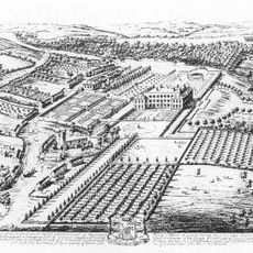
Londesborough Hall
3.6 km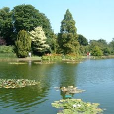
Burnby Hall Gardens
4.5 km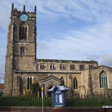
Church of All Saints, Pocklington
4.8 km
St James' Church, Warter
3.1 km
Church of Saint Giles
2.2 km
Church of Saint Botolph
6.4 km
Church of St. Helen
2.9 km
Church of All Saints, Londesborough
3.3 km
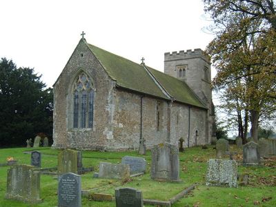
Church of Saint James
345 m
Church of Saint Martin
7.2 km
Church of Saint Ethelburgh
6.8 km
Church of St. Mary
8.1 km
Church of All Saints
4.9 km
Church of St Margaret
4.3 km
Church of St Catherine
7.4 km
Church of St. Martin
3.5 km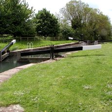
Pocklington Canal Top Lock And Canal Head
5.1 km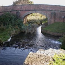
Pocklington Canal Coat's Bridge
7 km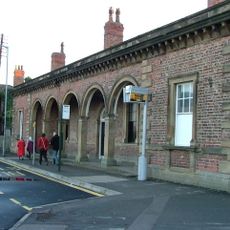
Railway Station
4.8 km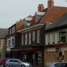
Pocklington Arts Centre
4.7 km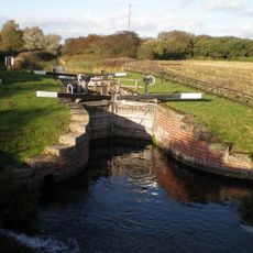
Pocklington Canal Coat's Lock
7 km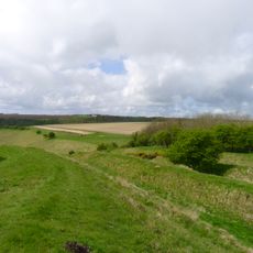
Sections of single and multiple linear boundary dykes on Huggate Pasture and Frendal Dale
7.6 km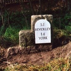
Milestone And Mounting Block About 75 Metres South-East Of Southmoor House
4.3 km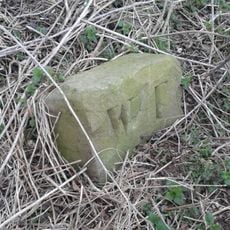
Boundary Stone At Ngr Se 871539
6.3 km
Pocklington Canal Sandhill Lock
6.6 km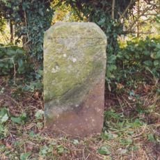
Milestone About 155 Metres West Of Brickyard Cottages
2 km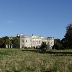
Kilnwick Percy Hall
3 km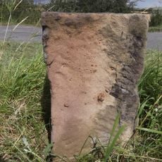
Milestone, lay-by on E-bound side of dual carriageway
3.9 kmHeeft u deze plek bezocht? Tik op de sterren om een beoordeling te geven en uw ervaring of foto's te delen met de community! Probeer het nu! U kunt het op elk moment annuleren.
Ontdek verborgen schatten op elk avontuur!
Van karakteristieke kleine cafeetjes tot geheime uitzichtpunten – ontvlucht de drukte en vind plekken die echt bij jou passen. Onze app maakt het makkelijk: spraakzoekopdrachten, slimme filters, geoptimaliseerde routes en authentieke tips van reizigers wereldwijd. Download nu en beleef het avontuur op je smartphone!

Een nieuwe benadering van toeristische ontdekking❞
— Le Figaro
Alle plekken die de moeite waard zijn om te ontdekken❞
— France Info
Een uitstapje op maat in slechts een paar klikken❞
— 20 Minutes