
Бобринецкая городская община, об'єднана громада в Україні
Locatie: Kropyvnytskyi Raion
GPS-coördinaten: 48.06267,32.11617
Laatste update: 20 maart 2025 om 09:48
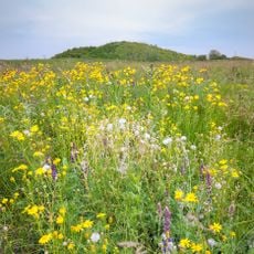
Yelanets steppe Nature Reserve
50.1 km
Kropyvnytskyi Raion
48.6 km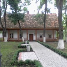
Khutir Nadia
48.4 km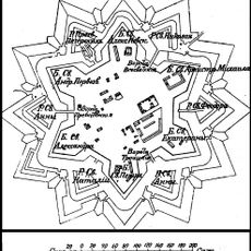
Saint Elisabeth Fortress
49.5 km
Park of the 50th Anniversary of October, Kirovohrad
49.5 km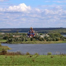
Pelageevsky convent
41 km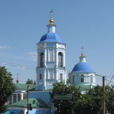
Orthodox church of the Nativity of the Theotokos in Kropyvnytskyi
50.3 km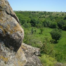
Monastyryshche
33.2 km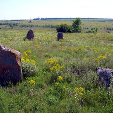
Boundary stones
22.3 km
Pryingulsky Park
46.5 km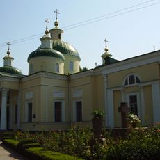
Church of the Transfiguration, Kropyvnytskyi
50.5 km
Kholodnyi Yar National Nature Park
11.7 km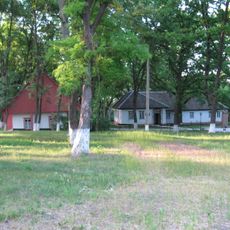
Khutir Nadia Park
47.8 km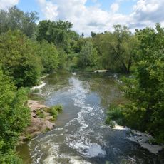
Park Peremohy
48.2 km
State Archive of Kirovohrad Oblast
49.9 km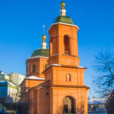
Saint Volodymyr the Great church, Kropyvnytskyi
50.5 km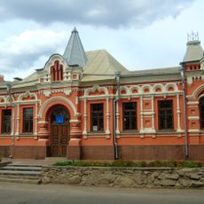
Memorial museum of Oleksandr Osmerkin
50.8 km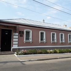
Ivan Karpenko-Karyi Memorial Museum
50.3 km
Козачий острів
50.8 km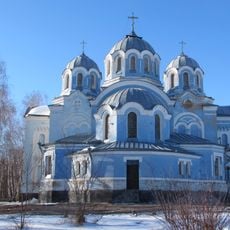
Church of the Ascension, Bobrynets
3.6 km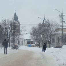
Saint Nicholas church, Bobrynets
4.1 km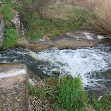
Shumok
2.9 km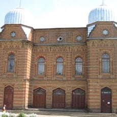
Історичний музей «Євреї Єлисаветграда»
50.9 km
Ternyk
48.2 km
Кіровоградський державний музей музичної культури імені Кароля Шимановського
50.9 km
Kvitucha balka
49.8 km
Chobitok
10.5 km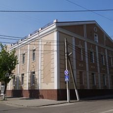
Small Synagogue
50.9 kmBeoordelingen
Heeft u deze plek bezocht? Tik op de sterren om een beoordeling te geven en uw ervaring of foto's te delen met de community! Probeer het nu! U kunt het op elk moment annuleren.
Ontdek verborgen schatten op elk avontuur!
Van karakteristieke kleine cafeetjes tot geheime uitzichtpunten – ontvlucht de drukte en vind plekken die echt bij jou passen. Onze app maakt het makkelijk: spraakzoekopdrachten, slimme filters, geoptimaliseerde routes en authentieke tips van reizigers wereldwijd. Download nu en beleef het avontuur op je smartphone!

Een nieuwe benadering van toeristische ontdekking❞
— Le Figaro
Alle plekken die de moeite waard zijn om te ontdekken❞
— France Info
Een uitstapje op maat in slechts een paar klikken❞
— 20 Minutes