
Tatariv, dorp in Jaremtsche, Oekraïne
Locatie: Yaremche
Ontstaan: 1671
Hoogte boven de zeespiegel: 750 m
GPS-coördinaten: 48.34361,24.57778
Laatste update: 23 april 2025 om 09:48
Nationaal Park Karpaten
33.1 km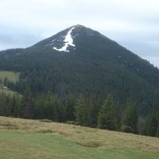
Mount Khomiak
6.6 km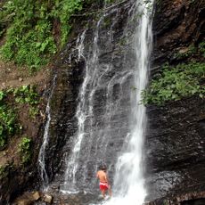
Zhenetskyi Huk
7.8 km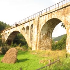
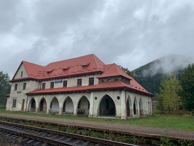
Vorokhta Viaduct
7 km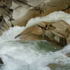
Probiy
11 km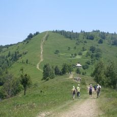
Makovytsa
12 km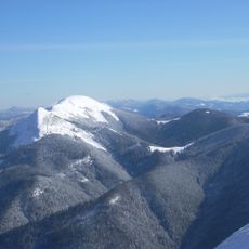
Syniak
10.2 km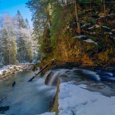
Divochi Slozy
12.1 km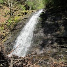
Narinetskyi Waterfall
6.1 km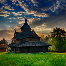
Church of the Nativity of the Virgin Mary in Vorokhta
6.9 km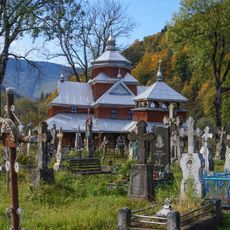
Yamna
10.4 km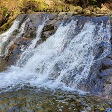
Bogdan Waterfall
7.7 km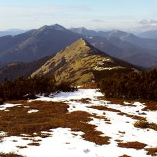
Malyi Gorgan
12.3 km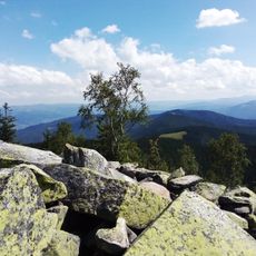
Явірник—Горган
9.3 km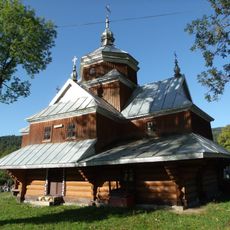
Saint John the Almoner church in Yaremche
9.7 km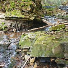
Bahrovets Waterfall
9.3 km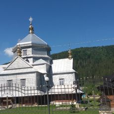
Church of the Holy Trinity, Mykulychyn
6.2 km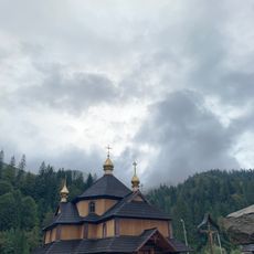
Saint Demetrius of Thessaloniki church in Tatariv
285 m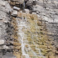
Kaplyvets Waterfall
10.1 km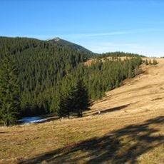
Bludnyy Grun
11 km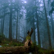
Smerekovi Karpaty Reserve
10.8 km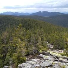
Pozheratulsky Preserve
11.6 km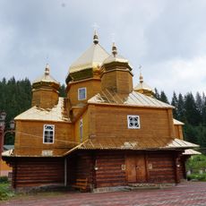
Saint Basil church, Yablunytsia
7.2 km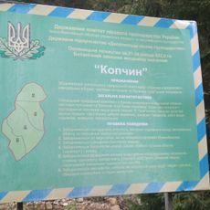
Kopchyn
6.9 km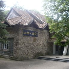
Yaremche museum ethnography and ecology
12 km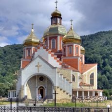
Nativity of St. John the Baptist
11.7 km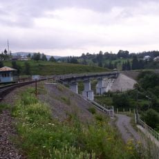
New Vorokhta Railway Bridge (East)
7 km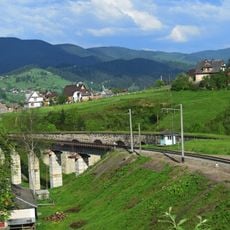
New Vorokhta Railway Bridge (West)
7.1 kmBeoordelingen
Heeft u deze plek bezocht? Tik op de sterren om een beoordeling te geven en uw ervaring of foto's te delen met de community! Probeer het nu! U kunt het op elk moment annuleren.
Ontdek verborgen schatten op elk avontuur!
Van karakteristieke kleine cafeetjes tot geheime uitzichtpunten – ontvlucht de drukte en vind plekken die echt bij jou passen. Onze app maakt het makkelijk: spraakzoekopdrachten, slimme filters, geoptimaliseerde routes en authentieke tips van reizigers wereldwijd. Download nu en beleef het avontuur op je smartphone!

Een nieuwe benadering van toeristische ontdekking❞
— Le Figaro
Alle plekken die de moeite waard zijn om te ontdekken❞
— France Info
Een uitstapje op maat in slechts een paar klikken❞
— 20 Minutes