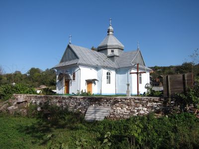
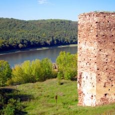
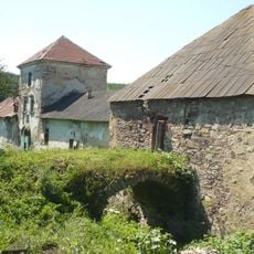
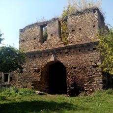
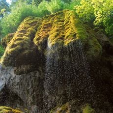
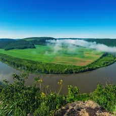
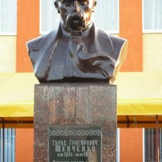
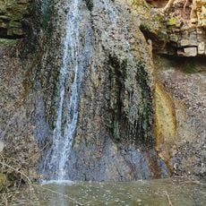
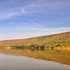
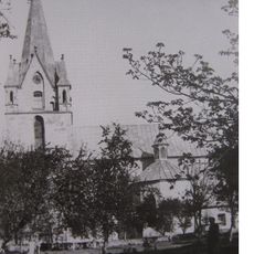
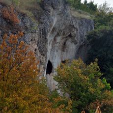
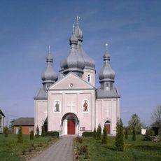
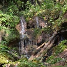
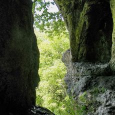
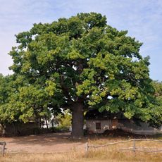
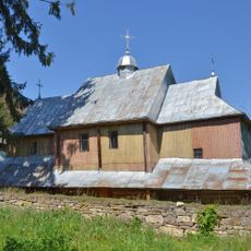
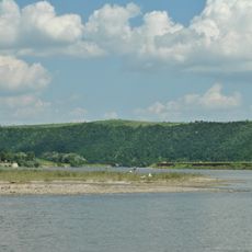
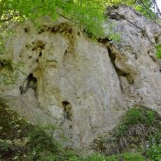
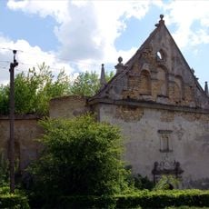
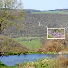
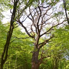
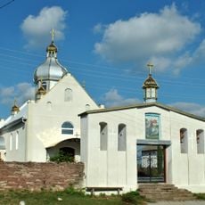
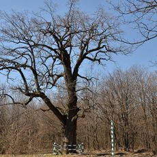
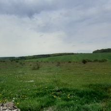
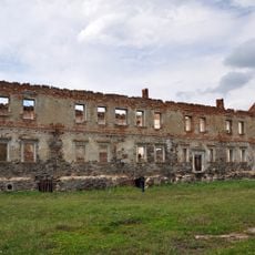
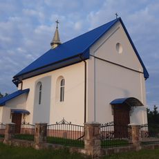
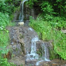
Rakovets, dorp in rayon Horodenka, Oekraïne
Locatie: Horodenka Raion
Locatie: Kolomyia Raion
GPS-coördinaten: 48.80306,25.30111
Laatste update: 3 maart 2025 om 11:27
Bieniewski castle in Rakovets
5 m
Zolotyy Potik Castle
11.9 km
Chernelytsia Castle
8.5 km
Divochi Slozy
4.1 km
Dnistrovskyi Regional Landscape Park
974 m
Bust of Taras Shevchenko in Sokoliv
14.5 km
Deleva Waterfalls
12.4 km
Beremiany Rocky Steppe Area
13.3 km
Church of the Nativity of the Blessed Virgin Mary and Saint Shchepan in Zolotyi Potik
11.9 km
Travertine rocks
14.3 km
Saint Nicholas church (new), Sokoliv, Chortkiv Raion
14.9 km
Sokilets Waterfalls
11.8 km
Kosmyryn travertine rock
10.6 km
Lytiachi Oak
14.6 km
Church of the Intercession
11.6 km
Divych-Hora
11.9 km
Monastery rock
11.7 km
Gniewosz Palace
11.6 km
Dominican church in Chernelytsia
9.3 km
Khmelivska Dilianka
14.3 km
Sokilets colony of herons
12.6 km
Beremiany Quercus
12 km
Saint Michael church
14.8 km
Sokoliv Quercus
12.4 km
Золотопотіцька дубина
14.6 km
Potocki Palace
11.7 km
Roman Catholic chapel, Lytiachi
14 km
Category:Vozyliv Waterfalls
5.2 kmHeeft u deze plek bezocht? Tik op de sterren om een beoordeling te geven en uw ervaring of foto's te delen met de community! Probeer het nu! U kunt het op elk moment annuleren.
Ontdek verborgen schatten op elk avontuur!
Van karakteristieke kleine cafeetjes tot geheime uitzichtpunten – ontvlucht de drukte en vind plekken die echt bij jou passen. Onze app maakt het makkelijk: spraakzoekopdrachten, slimme filters, geoptimaliseerde routes en authentieke tips van reizigers wereldwijd. Download nu en beleef het avontuur op je smartphone!
Een nieuwe benadering van toeristische ontdekking❞
— Le Figaro
Alle plekken die de moeite waard zijn om te ontdekken❞
— France Info
Een uitstapje op maat in slechts een paar klikken❞
— 20 Minutes