
Bili Oslavi, dorp in rayon Nadwirna, Oekraïne
Locatie: Nadvirna Raion
Locatie: Nadvirna Raion
Ontstaan: 1552
Hoogte boven de zeespiegel: 486 m
GPS-coördinaten: 48.48083,24.70194
Laatste update: 3 april 2025 om 10:24
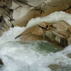
Probiy
12.8 km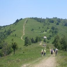
Makovytsa
8.8 km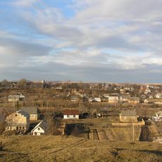
Lanchyn
8.3 km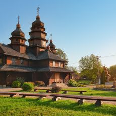
Dora (Yaremche)
9 km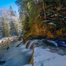
Divochi Slozy
14 km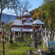
Yamna
10.9 km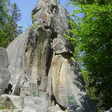
Bilyi Kamin, Dora
10.3 km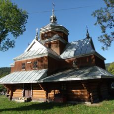
Saint John the Almoner church in Yaremche
11.5 km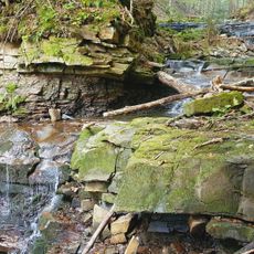
Bahrovets Waterfall
14.9 km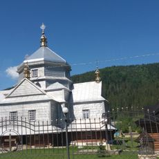
Church of the Holy Trinity, Mykulychyn
12 km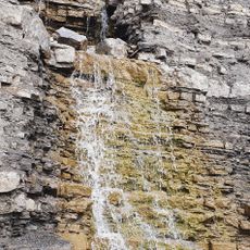
Kaplyvets Waterfall
9.5 km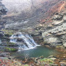
Zarichchia Waterfall
6.4 km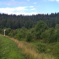
Klivsky Preserve
10.3 km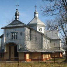
Church of the Nativity of the Theotokos in Deliatyn
7.6 km
Partisan Glory Park
4.4 km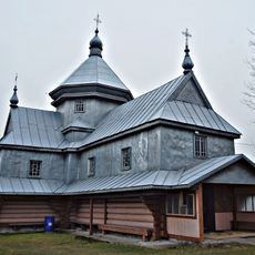
Saint Michael church in Dora
9.2 km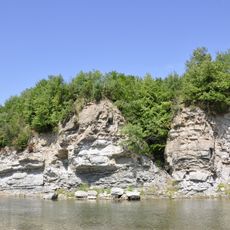
Dobrotivski vidslonennia
6.3 km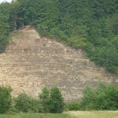
A rock on the right bank of the river Prut
7.4 km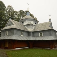
Saint Demetrius church, Bili Oslavy
1.2 km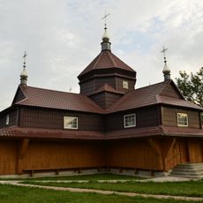
Immaculate Conception church, Bili Oslavy
776 m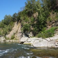
Malevskyy complex
6.4 km
Strahora Preserve
12.8 km
Debrytsia
10.1 km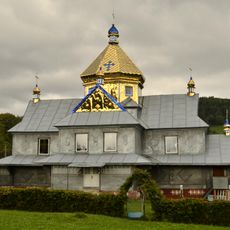
Saint Michael church, Liuchky
6.2 km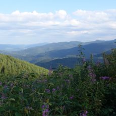
Wabryanka
14.8 km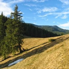
Yaseni
15 km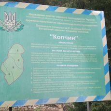
Kopchyn
13.2 km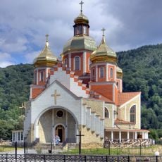
Nativity of St. John the Baptist
11.6 kmBeoordelingen
Heeft u deze plek bezocht? Tik op de sterren om een beoordeling te geven en uw ervaring of foto's te delen met de community! Probeer het nu! U kunt het op elk moment annuleren.
Ontdek verborgen schatten op elk avontuur!
Van karakteristieke kleine cafeetjes tot geheime uitzichtpunten – ontvlucht de drukte en vind plekken die echt bij jou passen. Onze app maakt het makkelijk: spraakzoekopdrachten, slimme filters, geoptimaliseerde routes en authentieke tips van reizigers wereldwijd. Download nu en beleef het avontuur op je smartphone!

Een nieuwe benadering van toeristische ontdekking❞
— Le Figaro
Alle plekken die de moeite waard zijn om te ontdekken❞
— France Info
Een uitstapje op maat in slechts een paar klikken❞
— 20 Minutes