
Österåkers socken, Uppland, historisk sogn i Uppland
Locatie: Österåker Municipality
Locatie: Åkers skeppslag
Onderdeel van: Uppland
GPS-coördinaten: 59.50750,18.28361
Laatste update: 5 mei 2025 om 00:53


Tuna gård
4.5 km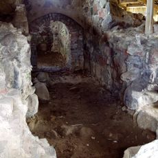
Tunaborgen
4.4 km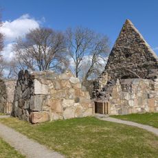
Össeby kyrkoruin
6.1 km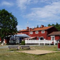
Domarudden
3.5 km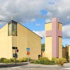
Åkersberga Church
3 km
Biskopstuna
4.5 km
Uppland Runic Inscription 181
6.4 km
Norrö
1.4 km
Uppland Runic Inscription 183
6.1 km
Brottby kvarn
6.5 km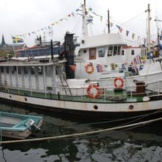
Östa
5.6 km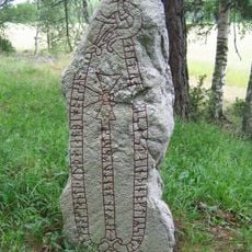
Uppland Runic Inscription 194
2.9 km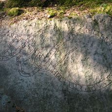
Upplands runinskrifter 209
7.1 km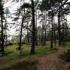
Näsudden
5.7 km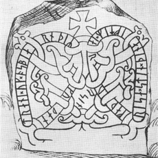
Uppland Runic Inscription 186
6.3 km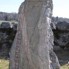
Uppland Runic Inscription 184
6.1 km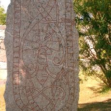
Upplands runinskrifter 180
6.4 km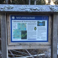
Trehörningsskogen
5.5 km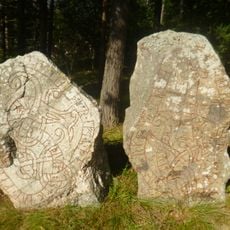
Uppland Runic Inscription 208
6.7 km
Uppland Runic Inscription 207
6.7 km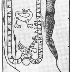
Uppland Runic Inscription 176
3.3 km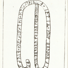
Uppland Runic Inscription 174
6 m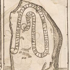
Uppland Runic Inscription 189
3.2 km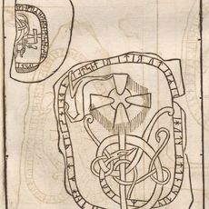
Uppland Runic Inscription 193
2.9 km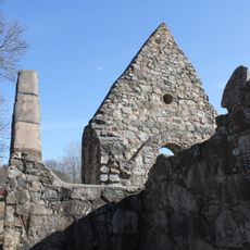
Össeby kyrkoruin
6.1 km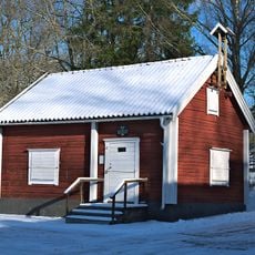
Båtsmansmuseet
2 km
Hembygdsmuseet
534 m
Skolmuseet
1.5 kmBeoordelingen
Heeft u deze plek bezocht? Tik op de sterren om een beoordeling te geven en uw ervaring of foto's te delen met de community! Probeer het nu! U kunt het op elk moment annuleren.
Ontdek verborgen schatten op elk avontuur!
Van karakteristieke kleine cafeetjes tot geheime uitzichtpunten – ontvlucht de drukte en vind plekken die echt bij jou passen. Onze app maakt het makkelijk: spraakzoekopdrachten, slimme filters, geoptimaliseerde routes en authentieke tips van reizigers wereldwijd. Download nu en beleef het avontuur op je smartphone!

Een nieuwe benadering van toeristische ontdekking❞
— Le Figaro
Alle plekken die de moeite waard zijn om te ontdekken❞
— France Info
Een uitstapje op maat in slechts een paar klikken❞
— 20 Minutes