
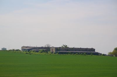
Skały
Locatie: Gmina Zdzieszowice
GPS-coördinaten: 50.47583,18.12167
Laatste update: 29 september 2025 om 13:50
Góra Świętej Anny
4.1 km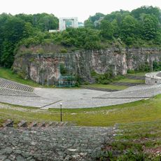
Monument and open-air theatre at St. Anne Mountain
3.6 km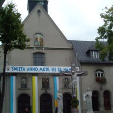
Góra Świętej Anny Monastery
4 km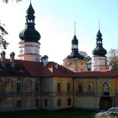
Żyrowa Palace
2.6 km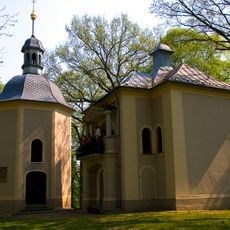
St Anne's Hill Calvary
4.1 km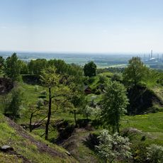
Rezerwat przyrody Góra Świętej Anny
4.2 km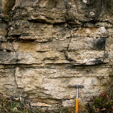
Gogolin Formation
6.3 km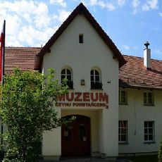
Uprising Museum in Góra Świętej Anny
3.9 km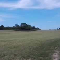
Ligota Dolna, powiat strzelecki
796 m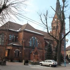
Sacred Heart church in Gogolin
7.1 km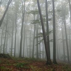
Rezerwat przyrody Lesisko
2.5 km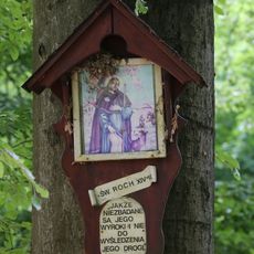
Rezerwat przyrody Biesiec
1.4 km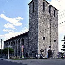
Saint Anthony church in Zdzieszowice
6.1 km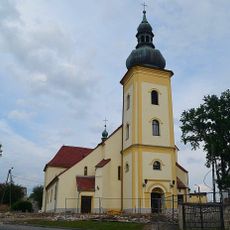
Holy Trinity church in Leśnica
6.9 km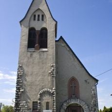
Evangelical-Augsburg Church in Gogolin
7 km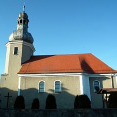
Church of St. Michael the Archangel in Poznowice
5.3 km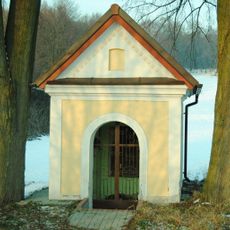
Chapel of the three brothers
4.3 km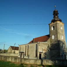
Church of the Nativity of the Virgin Mary in Kalinów
6.6 km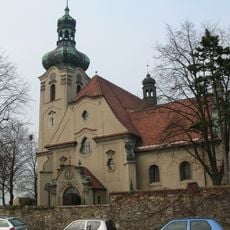
Mary Magdalene church in Jasiona
1.9 km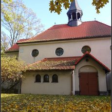
Kościół św. Antoniego w Zdzieszowicach
6.2 km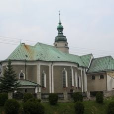
Kościół św. Floriana, XV/XVI
3.5 km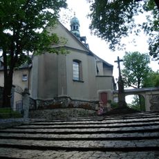
Kościół św. Anny
4 km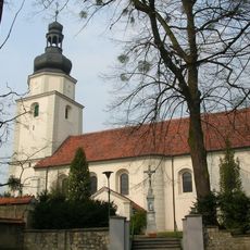
Church of Saint Nicholas in Żyrowa
2.6 km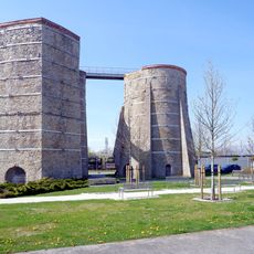
Glass furnace No. 7 in Gogolin
7.3 km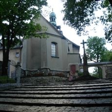
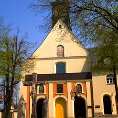
Franziskanerkloster St. Annaberg
4 km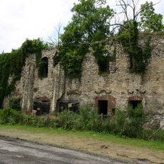
Ruins in Zakrzów
3.2 km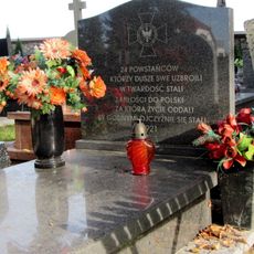
Grave of powstańców śląskich in Gogolin
6.7 km
Dziedziniec krużgankowy, XVIII/XIX
4 kmHeeft u deze plek bezocht? Tik op de sterren om een beoordeling te geven en uw ervaring of foto's te delen met de community! Probeer het nu! U kunt het op elk moment annuleren.
Ontdek verborgen schatten op elk avontuur!
Van karakteristieke kleine cafeetjes tot geheime uitzichtpunten – ontvlucht de drukte en vind plekken die echt bij jou passen. Onze app maakt het makkelijk: spraakzoekopdrachten, slimme filters, geoptimaliseerde routes en authentieke tips van reizigers wereldwijd. Download nu en beleef het avontuur op je smartphone!

Een nieuwe benadering van toeristische ontdekking❞
— Le Figaro
Alle plekken die de moeite waard zijn om te ontdekken❞
— France Info
Een uitstapje op maat in slechts een paar klikken❞
— 20 Minutes