
Naramice, dorp in Polen (Biała)
Locatie: Gmina Biała, Łódź Voivodeship
GPS-coördinaten: 51.30000,18.43330
Laatste update: 22 maart 2025 om 20:19

Church of the Annunciation in Wieluń
12.8 km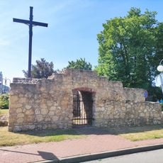
Brama Kaliska
12.8 km
Manor in Parcice
11 km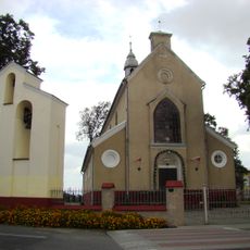
Church of the Nativity of the Virgin Mary in Czastary
9.1 km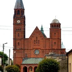
Saints Peter and Paul church in Lututów
7.8 km
Cmentarz żydowski w Wieluniu
12.7 km
Figloraj Fun Zone
12.5 km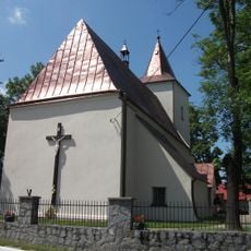
Church of Saint Lawrence in Dąbrowa
10.6 km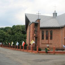
Church of the Exaltation of the Holy Cross in Parcice
9.6 km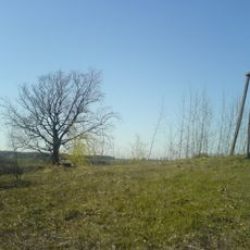
Góra Niemojewska
11.2 km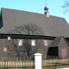
Saint Anne church in Stary Ochędzyn
11.6 km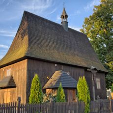
Saint Sigismund church in Wiktorów
2.7 km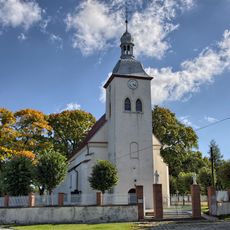
Saint Martin church in Chotów
11.5 km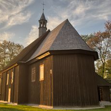
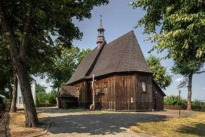
All Saints church in Naramice
731 m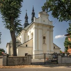
Saint Bartholomew church in Czarnożyły
9.1 km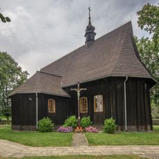
Mary Magdalene church in Łyskornia
5.2 km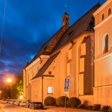
Klasztor, ob. plebania
12.8 km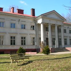
Walichnowy Palace
3.9 km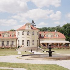
Sokolniki Palace
7.9 km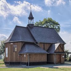
Saint John the Baptist church in Łagiewniki
5.8 km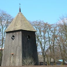
Dzwonnica w Białej-Parceli
3.5 km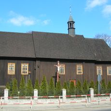
Kościół św. Piotra w Białej-Parceli
3.9 km
Dwór w Parcicach
9.7 km
Manor in Świątkowice
4.2 km
Kościół św. Tekli w Raczyniu
8.3 km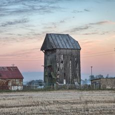
Wiatrak
9.4 km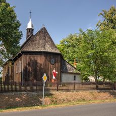
Saint Thecla church in Raczyn
8.3 km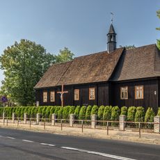
Zespół kościoła św. Piotra
3.5 kmHeeft u deze plek bezocht? Tik op de sterren om een beoordeling te geven en uw ervaring of foto's te delen met de community! Probeer het nu! U kunt het op elk moment annuleren.
Ontdek verborgen schatten op elk avontuur!
Van karakteristieke kleine cafeetjes tot geheime uitzichtpunten – ontvlucht de drukte en vind plekken die echt bij jou passen. Onze app maakt het makkelijk: spraakzoekopdrachten, slimme filters, geoptimaliseerde routes en authentieke tips van reizigers wereldwijd. Download nu en beleef het avontuur op je smartphone!

Een nieuwe benadering van toeristische ontdekking❞
— Le Figaro
Alle plekken die de moeite waard zijn om te ontdekken❞
— France Info
Een uitstapje op maat in slechts een paar klikken❞
— 20 Minutes