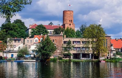
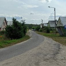
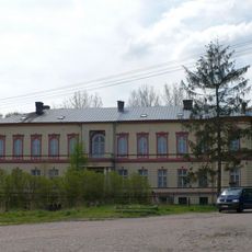
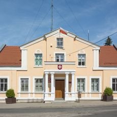
Łagów, gemeente in powiat Świebodziński
Locatie: Świebodzin County
Grenst aan: Gmina Bytnica, Gmina Lubrza, Gmina Skąpe, Gmina Sulęcin, Gmina Torzym
Website: http://lagow.pl
GPS-coördinaten: 52.33429,15.29769
Laatste update: 4 maart 2025 om 06:25
Jemiołów Transmitter
2 km
Palace in Toporów
8.2 km
Castle of the Order of St. John in Łagów
336 m
Church of St. John the Baptist in Łagów, powiat świebodziński
324 m
Nature reserve Nad Jeziorem Trześniowskim
2.1 km
Dziarg
11.3 km
Our Lady of the Rosary church in Toporów
8 km
Polish Gate in Łagów
311 m
Malcz Południowy
5.4 km
Saint John the Baptist church in Lubrza
10.4 km
Church of the Annunciation in Boryszyn
10.5 km
Malcz Północny
5.8 km
Chapel of the Beheading of St. John the Baptist in Łagów, powiat świebodziński
154 m
Our Lady of Częstochowa church in Grabów
11.3 km
Wągieł
10.9 km
Martinez
10.8 km
Skansen Jemiołów
3 km
Templewko
10.9 km
Annunciation church in Poźrzadło
5.3 km
Saint Stanislaus church in Żelechów
4.2 km
Church of the Assumption in Niedźwiedź
11.3 km
Cemetery in Staropole
10.1 km
Immaculate Conception church in Łagówek
2 km
Our Lady of Częstochowa church in Mostki
10.1 km
Brandenburg Gate in Łagów
388 m
Wooden bell tower in Sieniawa
6.2 km
Pałac w Mostkach
10.2 km
Zespół urbanistyczno-krajobrazowy
372 mBeoordelingen
Heeft u deze plek bezocht? Tik op de sterren om een beoordeling te geven en uw ervaring of foto's te delen met de community! Probeer het nu! U kunt het op elk moment annuleren.
Ontdek verborgen schatten op elk avontuur!
Van karakteristieke kleine cafeetjes tot geheime uitzichtpunten – ontvlucht de drukte en vind plekken die echt bij jou passen. Onze app maakt het makkelijk: spraakzoekopdrachten, slimme filters, geoptimaliseerde routes en authentieke tips van reizigers wereldwijd. Download nu en beleef het avontuur op je smartphone!
Een nieuwe benadering van toeristische ontdekking❞
— Le Figaro
Alle plekken die de moeite waard zijn om te ontdekken❞
— France Info
Een uitstapje op maat in slechts een paar klikken❞
— 20 Minutes