
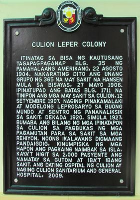
Culion Leper Colony historical marker
Culion Leper Colony historical marker, NHCP historical marker for Culion Leper Colony
Locatie: Culion
Ontstaan: 26 juli 2014
Maker: National Historical Commission of the Philippines
Adres: Brgy. Libis
GPS-coördinaten: 11.89181,120.02359
Laatste update: 8 maart 2025 om 00:17
Calauit Safari Park
49.5 km
Apo Reef
100.5 km
Nacpan Beach
90.9 km
Kayangan Lake View Deck
23.3 km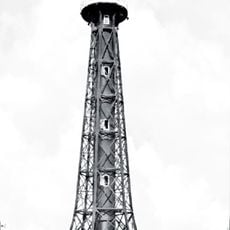
Apo Reef Light
95.6 km
Coron Island Protected Area
23.9 km
Apo Reef Marine Natural Park
103.3 km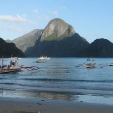
El Nido-Taytay Managed Resource Protected Area
102.7 km
Twin Lagoon
21.2 km
Seven Commandos Beach
106.5 km
Malcapuya Island
15 km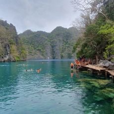
Kayangan Lake
23.2 km
Kayangan Lake
23.2 km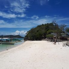
Bulog Dos Island
17.3 km
CYC Beach
18.9 km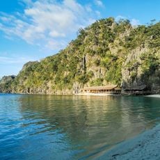
Atwayan Beach
19.2 km
Beach 91
19.4 km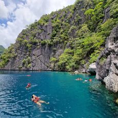
Barracuda Lake
22.2 km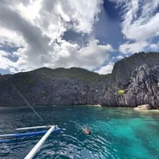
Matinloc Shrine
112 km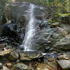
Nagkalit-kalit Waterfalls
95.3 km
Malcapuya Island Beach Resort
15.1 km
Ille Cave
95.8 km
Rapea nui food park
23.1 km
Ditaytayan Beach
18.8 km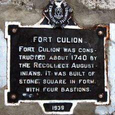
Fort Culion historical marker
112 m
Coron Philippines
22.4 km
Calachuchi Beach
24 km
Talisay Beach
80.8 kmBeoordelingen
Heeft u deze plek bezocht? Tik op de sterren om een beoordeling te geven en uw ervaring of foto's te delen met de community! Probeer het nu! U kunt het op elk moment annuleren.
Ontdek verborgen schatten op elk avontuur!
Van karakteristieke kleine cafeetjes tot geheime uitzichtpunten – ontvlucht de drukte en vind plekken die echt bij jou passen. Onze app maakt het makkelijk: spraakzoekopdrachten, slimme filters, geoptimaliseerde routes en authentieke tips van reizigers wereldwijd. Download nu en beleef het avontuur op je smartphone!

Een nieuwe benadering van toeristische ontdekking❞
— Le Figaro
Alle plekken die de moeite waard zijn om te ontdekken❞
— France Info
Een uitstapje op maat in slechts een paar klikken❞
— 20 Minutes