
Gagaco Beach, Strand auf den Philippinen
Locatie: Cagayan
Hoogte boven de zeespiegel: 2 m
GPS-coördinaten: 18.87111,121.26213
Laatste update: 2 april 2025 om 22:07
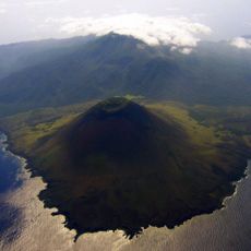
Smith Volcano
101 km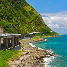
Patapat Viaduct
50.8 km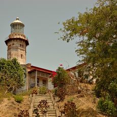
Cape Bojeador Lighthouse
80.6 km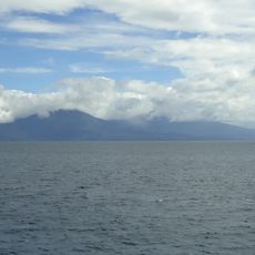
Camiguin de Babuyanes
63.1 km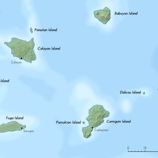
Babuyan Claro
102.8 km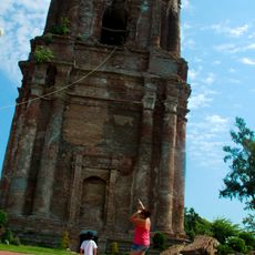
Bacarra Church
97.4 km
Cape Engaño Lighthouse
97.8 km
Magapit Suspension Bridge
94 km
Lal-lo Church
85.8 km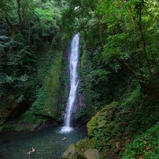
Kabigan Falls
52.2 km
Magapit Protected Landscape
85.8 km
Kalbario-Patapat Natural Park
52.6 km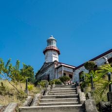
Cape Bojeador Lighthouse
80.6 km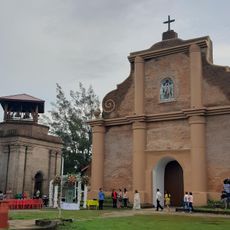
Piddig Church
97.3 km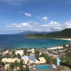
Hannah's Beach Resort
50.7 km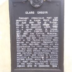
Claro Caluya historical marker
97.4 km
Phare de Linao Point
66.5 km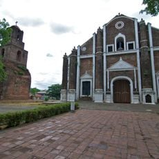
Sarrat Church
102.9 km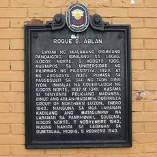
Roque B. Ablan historical marker
103 km
Don Claro Caluya Green Garden
97.4 km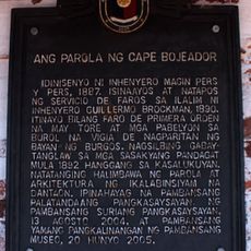
The Lighthouse of Cape Bojeador historical marker
80.7 km
Cape Engaño Lighthouse historical marker
97.8 km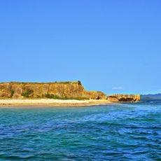
Rona Island
102 km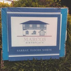
Marcos Museum
102.6 km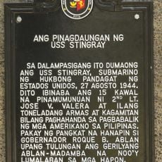
The Landing Site of the USS Stingray historical marker
51.3 km
Lalloc–Tocolana historical marker
85.8 km
Lalloc–Nueva Segovia historical marker
85.8 km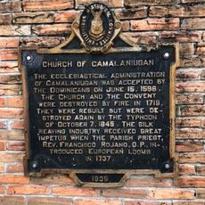
Church of Camalaniugan historical marker
79.7 kmHeeft u deze plek bezocht? Tik op de sterren om een beoordeling te geven en uw ervaring of foto's te delen met de community! Probeer het nu! U kunt het op elk moment annuleren.
Ontdek verborgen schatten op elk avontuur!
Van karakteristieke kleine cafeetjes tot geheime uitzichtpunten – ontvlucht de drukte en vind plekken die echt bij jou passen. Onze app maakt het makkelijk: spraakzoekopdrachten, slimme filters, geoptimaliseerde routes en authentieke tips van reizigers wereldwijd. Download nu en beleef het avontuur op je smartphone!

Een nieuwe benadering van toeristische ontdekking❞
— Le Figaro
Alle plekken die de moeite waard zijn om te ontdekken❞
— France Info
Een uitstapje op maat in slechts een paar klikken❞
— 20 Minutes