
San Roque, barangay in Talibon, Filipijnen
Locatie: Talibon
Hoogte boven de zeespiegel: 10 m
GPS-coördinaten: 10.09194,124.32250
Laatste update: 25 maart 2025 om 13:31
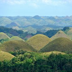
Chocolate Hills
25.9 km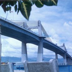
Marcelo Fernan-brug
46.9 km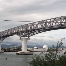
Mactan-Mandaue Bridge
47.5 km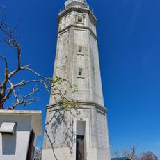
Bagacay Point Lighthouse
46.5 km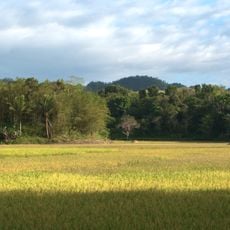
Rajah Sikatuna Protected Landscape
41.6 km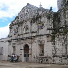
Talibon Cathedral
6.6 km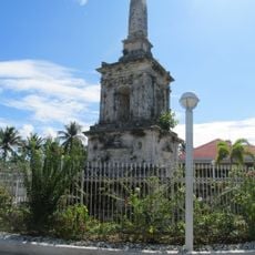
Magellan Monument
41.6 km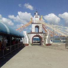
Muelle Osmeña Lighthouse
47.9 km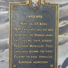
Lapulapu historical marker
41.5 km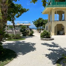
Nalusuan Island
37 km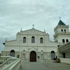
Tubigon Church
42.5 km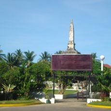
Liberty Shrine
41.6 km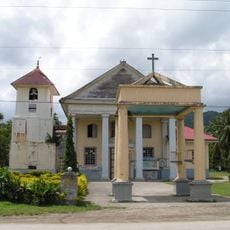
Immaculate Conception Parish Church
43.7 km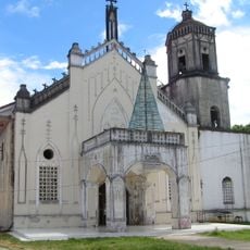
Inabanga Church
28.7 km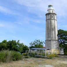
Bagacay Point Lighthouse
46.6 km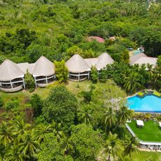
Amun Ini Beach Resort & Spa
46.4 km
Sagbayan Peak Park
33 km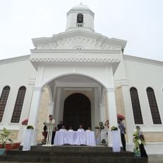
Carmen Church
32.7 km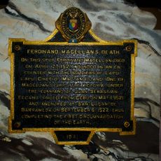
Ferdinand Magellan’s Death historical marker
41.5 km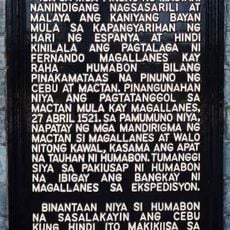
Lapulapu historical marker
41.6 km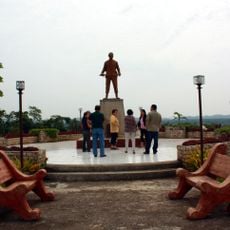
Dagohoy Monument
21.2 km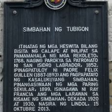
Church of Tubigon historical marker
42.5 km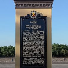
Mactan quincentennial historical marker
41.6 km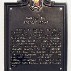
Lighthouse of Bagacay Point historical marker
46.5 km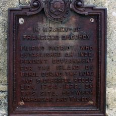
In Memory of Francisco Dagohoy historical marker
21.2 km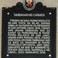
Church of Carmen historical marker
32.7 km
Ferdinand Magellan historical marker
41.6 km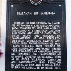
Church of Inabanga historical marker
28.7 kmHeeft u deze plek bezocht? Tik op de sterren om een beoordeling te geven en uw ervaring of foto's te delen met de community! Probeer het nu! U kunt het op elk moment annuleren.
Ontdek verborgen schatten op elk avontuur!
Van karakteristieke kleine cafeetjes tot geheime uitzichtpunten – ontvlucht de drukte en vind plekken die echt bij jou passen. Onze app maakt het makkelijk: spraakzoekopdrachten, slimme filters, geoptimaliseerde routes en authentieke tips van reizigers wereldwijd. Download nu en beleef het avontuur op je smartphone!

Een nieuwe benadering van toeristische ontdekking❞
— Le Figaro
Alle plekken die de moeite waard zijn om te ontdekken❞
— France Info
Een uitstapje op maat in slechts een paar klikken❞
— 20 Minutes