
Teneguiban, barangay of the Philippines in the municipality of El Nido, Palawan
Locatie: El Nido
Hoogte boven de zeespiegel: 7 m
GPS-coördinaten: 11.35800,119.50700
Laatste update: 7 maart 2025 om 16:31
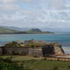
Fort Santa Isabel
59 km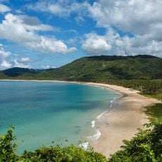
Nacpan Beach
9.6 km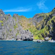
Secret Lagoon
31.8 km
Malampaya Sound Protected Landscape/Seascape
62.4 km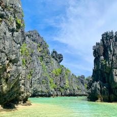
Hidden Beach
30.9 km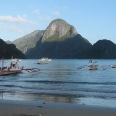
El Nido-Taytay Managed Resource Protected Area
21.1 km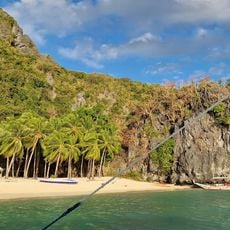
Seven Commandos Beach
24.8 km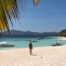
Malcapuya Island
82 km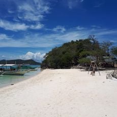
Bulog Dos Island
83.1 km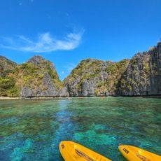
Big Lagoon
30.4 km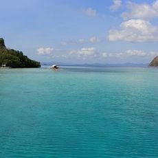
CYC Beach
99.7 km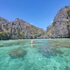
Small Lagoon
30.2 km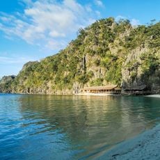
Atwayan Beach
98.7 km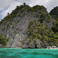
Beach 91
99.3 km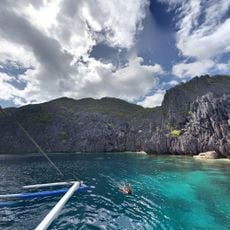
Matinloc Shrine
30.6 km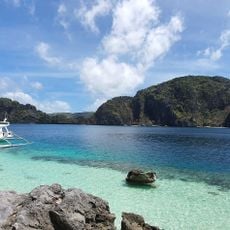
Talisay Beach
31.5 km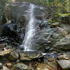
Nagkalit-kalit Waterfalls
13.6 km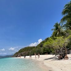
Malcapuya Island Beach Resort
81.7 km
Ille Cave
18 km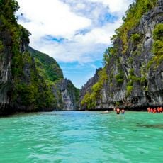
Small Lagoon to Big Lagoon
30.2 km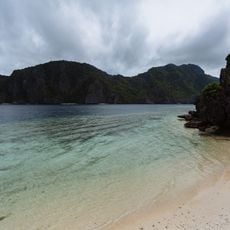
Secret Beach
31.1 km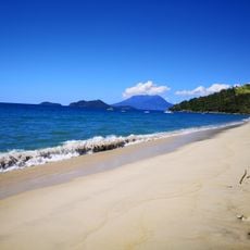
Erawan Beach
81.8 km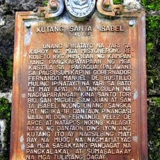
Fort Santa Isabel historical marker
59 km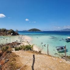
Ditaytayan Beach
77.5 km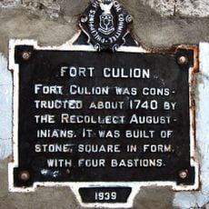
Fort Culion historical marker
82 km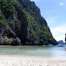
Secret Lagoon
31.8 km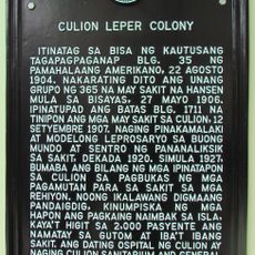
Culion Leper Colony historical marker
81.9 km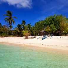
Talisay Beach
23.2 kmHeeft u deze plek bezocht? Tik op de sterren om een beoordeling te geven en uw ervaring of foto's te delen met de community! Probeer het nu! U kunt het op elk moment annuleren.
Ontdek verborgen schatten op elk avontuur!
Van karakteristieke kleine cafeetjes tot geheime uitzichtpunten – ontvlucht de drukte en vind plekken die echt bij jou passen. Onze app maakt het makkelijk: spraakzoekopdrachten, slimme filters, geoptimaliseerde routes en authentieke tips van reizigers wereldwijd. Download nu en beleef het avontuur op je smartphone!

Een nieuwe benadering van toeristische ontdekking❞
— Le Figaro
Alle plekken die de moeite waard zijn om te ontdekken❞
— France Info
Een uitstapje op maat in slechts een paar klikken❞
— 20 Minutes