
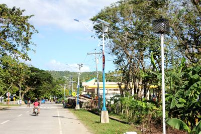
Balatan, gemeente in de Filipijnse provincie Camarines Sur
Locatie: Camarines Sur
Hoogte boven de zeespiegel: 71 m
Grenst aan: Bato
GPS-coördinaten: 13.31667,123.23333
Laatste update: 7 maart 2025 om 21:28
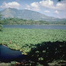
Mount Iriga
28.7 km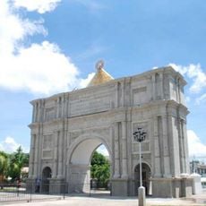
Porta Mariae
35 km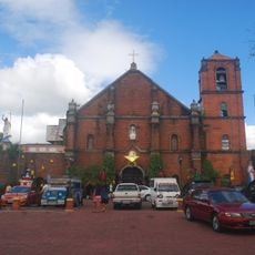
Nabua Church
18.2 km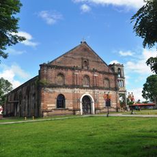
Saint Anthony of Padua Parish Church
34.6 km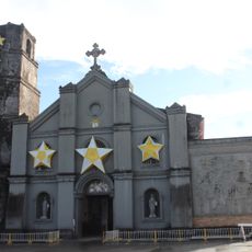
Buhi Church
33.3 km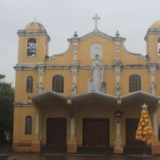
Baao Church
21 km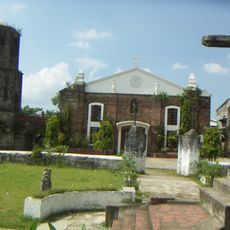
Saint Joseph the Worker Parish Church
31.7 km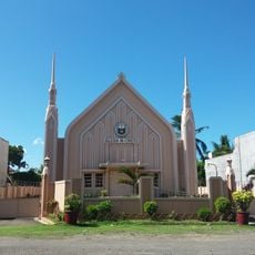
Iglesia ni Cristo chapel, Nabua, Bicol
18.3 km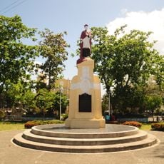
Jorge Barlin é Imperial historical marker
21 km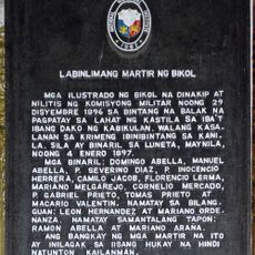
Fifteen Martyrs of Bicol historical marker
34.6 km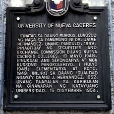
University of Nueva Caceres historical marker
34.7 km
Philtranco Transport Heritage Museum
23.3 km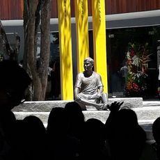
Jesse Robredo Museum
34.9 km
Jorge Barlin Monument
21 km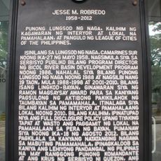
Jesse M. Robredo historical marker
34.9 km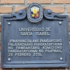
Universidad de Santa Isabel historical marker
35 km
Iriga Church
22.6 km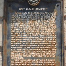
Holy Rosary Seminary historical marker
35 km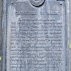
Cathedral of Naga historical marker
35 km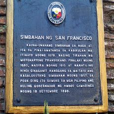
Church of San Francisco historical marker
34.6 km
Church of Baao historical marker
21 km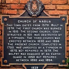
Church of Nabua historical marker
18.2 km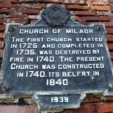
Church of Milaor historical marker
31.7 km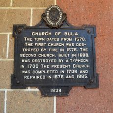
Church of Bula historical marker
17.6 km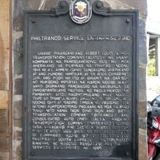
Philtranco Service Enterprises, Inc. historical marker
23.3 km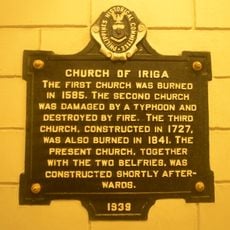
Church of Iriga historical marker
22.6 km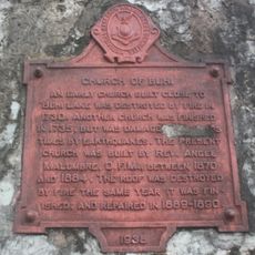
Church of Buhi historical marker
33.4 km
Pamplona Park
34.7 kmHeeft u deze plek bezocht? Tik op de sterren om een beoordeling te geven en uw ervaring of foto's te delen met de community! Probeer het nu! U kunt het op elk moment annuleren.
Ontdek verborgen schatten op elk avontuur!
Van karakteristieke kleine cafeetjes tot geheime uitzichtpunten – ontvlucht de drukte en vind plekken die echt bij jou passen. Onze app maakt het makkelijk: spraakzoekopdrachten, slimme filters, geoptimaliseerde routes en authentieke tips van reizigers wereldwijd. Download nu en beleef het avontuur op je smartphone!

Een nieuwe benadering van toeristische ontdekking❞
— Le Figaro
Alle plekken die de moeite waard zijn om te ontdekken❞
— France Info
Een uitstapje op maat in slechts een paar klikken❞
— 20 Minutes