
Cuatro Islas, marine protected area in the Philippines
Locatie: Leyte
Ontstaan: 23 april 2000
GPS-coördinaten: 10.52583,124.65500
Laatste update: 8 maart 2025 om 00:16

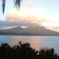
Cabalian Volcano
67.7 km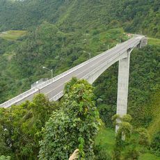
Agas-Agas Bridge
37.7 km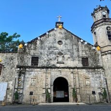
Maasin Cathedral
48.1 km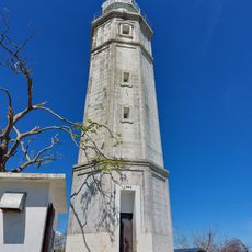
Bagacay Point Lighthouse
71.5 km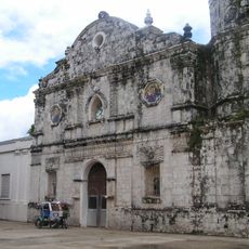
Talibon Cathedral
55.1 km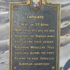
Lapulapu historical marker
74 km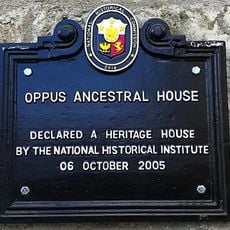
Oppus Ancestral House historical marker
48.3 km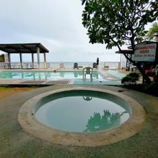
Boardwalk Beach Resort
70.7 km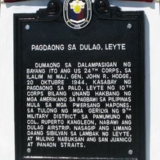
Landing at Dulag, Leyte historical marker
64.6 km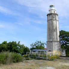
Bagacay Point Lighthouse
71.5 km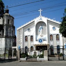
Hilongos Church
19.8 km
Tambaan Farm
19.9 km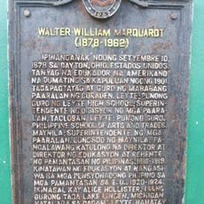
Walter William Marquardt historical marker
56.6 km
San Juan Beach
67.7 km
Church of Hilongos historical marker
19.8 km
Sibugay Mountain Resort
46.6 km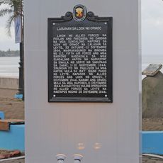
Battle of Ormoc Bay historical marker
53.4 km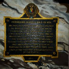
Ferdinand Magellan’s Death historical marker
74 km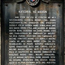
Cathedral of Maasin historical marker
48.2 km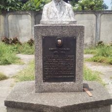
Norberto Romualdez historical marker
56.3 km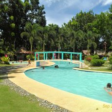
Inland Resort
33.9 km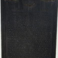
First Mass in the Philippines historical marker
67.9 km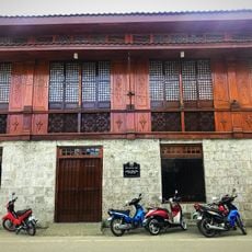
Oppus House
48.3 km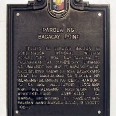
Lighthouse of Bagacay Point historical marker
71.5 km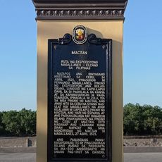
Mactan quincentennial historical marker
74 km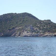
Poro Island lighthouse
29.3 km
San Rafael Beach
48.1 km
Bawok-bawok Beach
50.1 kmHeeft u deze plek bezocht? Tik op de sterren om een beoordeling te geven en uw ervaring of foto's te delen met de community! Probeer het nu! U kunt het op elk moment annuleren.
Ontdek verborgen schatten op elk avontuur!
Van karakteristieke kleine cafeetjes tot geheime uitzichtpunten – ontvlucht de drukte en vind plekken die echt bij jou passen. Onze app maakt het makkelijk: spraakzoekopdrachten, slimme filters, geoptimaliseerde routes en authentieke tips van reizigers wereldwijd. Download nu en beleef het avontuur op je smartphone!

Een nieuwe benadering van toeristische ontdekking❞
— Le Figaro
Alle plekken die de moeite waard zijn om te ontdekken❞
— France Info
Een uitstapje op maat in slechts een paar klikken❞
— 20 Minutes