
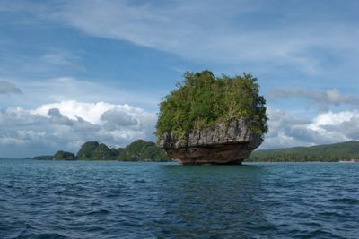
Marabut, gemeente in de Filipijnse provincie Samar
Locatie: Samar
Ontstaan: 22 juli 1949
Hoogte boven de zeespiegel: 36 m
Grenst aan: Basey
GPS-coördinaten: 11.11667,125.21667
Laatste update: 7 maart 2025 om 21:30

San Juanico-brug
33.8 km
MacArthur Landing Memorial National Park
23.2 km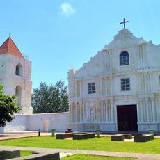
Guiuan Church
56.1 km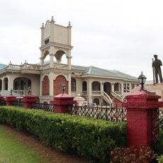
Price Mansion
27.2 km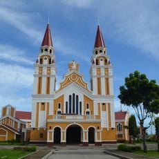
Palo Cathedral
25 km
Leyte Provincial Capitol
27.6 km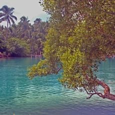
Guiuan Protected Landscape and Seascape
57.5 km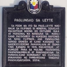
Leyte Landing historical marker
23.2 km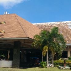
Leyte Park
27.4 km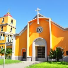
Tanauan Church
21.8 km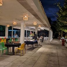
Patio Victoria Baluarte Beach Resort
23 km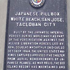
Japanese Pillbox historical marker
23 km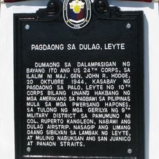
Landing at Dulag, Leyte historical marker
25.6 km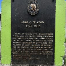
Jaime C. de Veyra historical marker
21.8 km
Basey Church
24.3 km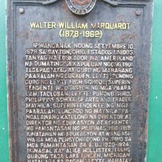
Walter William Marquardt historical marker
38.6 km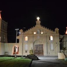
Balangiga Church
18.5 km
Church of Basey historical marker
24.3 km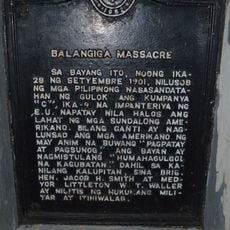
Balangiga Massacre historical marker
18.5 km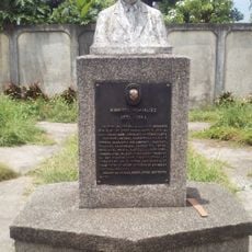
Norberto Romualdez historical marker
38.7 km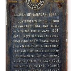
Church of Tanauan, Leyte historical marker
21.8 km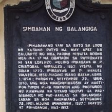
Church of Balangiga historical marker
18.5 km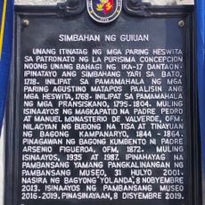
Church of Guiuan historical marker
56.1 km
Capitol Building of the Philippines historical marker
27.6 km
Price Mansion
27.2 km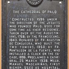
The Cathedral of Palo historical marker
25 km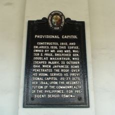
Provisional Capitol historical marker
27.2 km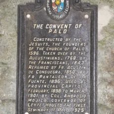
The Convent of Palo historical marker
25 kmHeeft u deze plek bezocht? Tik op de sterren om een beoordeling te geven en uw ervaring of foto's te delen met de community! Probeer het nu! U kunt het op elk moment annuleren.
Ontdek verborgen schatten op elk avontuur!
Van karakteristieke kleine cafeetjes tot geheime uitzichtpunten – ontvlucht de drukte en vind plekken die echt bij jou passen. Onze app maakt het makkelijk: spraakzoekopdrachten, slimme filters, geoptimaliseerde routes en authentieke tips van reizigers wereldwijd. Download nu en beleef het avontuur op je smartphone!

Een nieuwe benadering van toeristische ontdekking❞
— Le Figaro
Alle plekken die de moeite waard zijn om te ontdekken❞
— France Info
Een uitstapje op maat in slechts een paar klikken❞
— 20 Minutes