
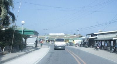
Mansalay, gemeente in de Filipijnse provincie Oriental Mindoro
Locatie: Oriental Mindoro
Hoogte boven de zeespiegel: 70 m
Grenst aan: Bulalacao, Bongabong, Roxas
GPS-coördinaten: 12.52044,121.43851
Laatste update: 10 april 2025 om 11:28
Mounts Iglit-Baco National Park
48.6 km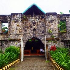
Simbahang Bato
85.6 km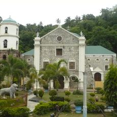
Romblon Cathedral
90.5 km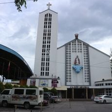
Santo Niño Cathedral
103.4 km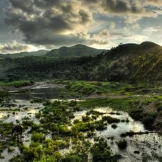
Northwest Panay Peninsula Natural Park
94.6 km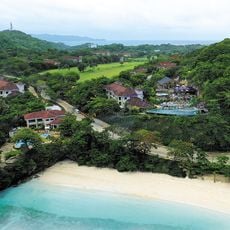
Fairways and Bluewater Boracay
79.9 km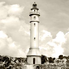
Maniguin Island lighthouse
106.5 km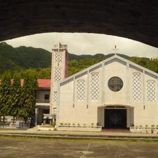
San Nicolas de Tolentino Parish Church
85.7 km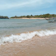
Sibay Island
74.8 km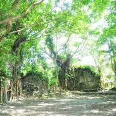
Kuta Church Ruins
23.9 km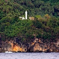
Gorda Point Lighthouse
79.2 km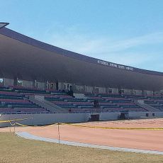
Occidental Mindoro Sports Complex
44.7 km
Islas de los Tres Reyes
91.8 km
Pandan Island Resort
83.3 km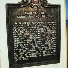
Battle of the Sibuyan Sea historical marker
73.2 km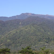
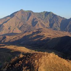
Mount Halcon
95.6 km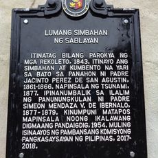
Old Church of Sablayan historical marker
80.6 km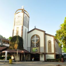
Saint Joseph Parish Church
25.8 km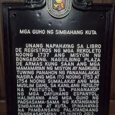
Ruins of Kuta Church historical marker
24 km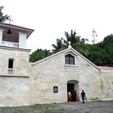
Old Sablayan Church
80.6 km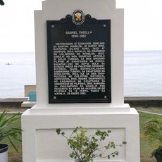
Gabriel Fabella historical marker
85.7 km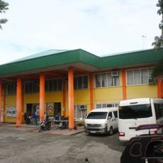
Bongabong Municipal Hall
25.9 km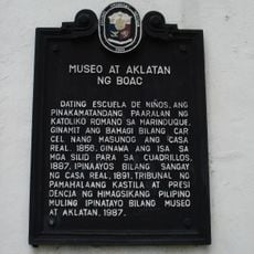
Museum and Library of Boac historical marker
112 km
Ilig Iligan Beach
78.9 km
White Beach Boracay
81.8 km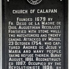
Church of Calapan historical marker
103.4 km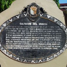
Salvador del Mundo historical marker
112 km
Country Woods Resort
78 kmBeoordelingen
Heeft u deze plek bezocht? Tik op de sterren om een beoordeling te geven en uw ervaring of foto's te delen met de community! Probeer het nu! U kunt het op elk moment annuleren.
Ontdek verborgen schatten op elk avontuur!
Van karakteristieke kleine cafeetjes tot geheime uitzichtpunten – ontvlucht de drukte en vind plekken die echt bij jou passen. Onze app maakt het makkelijk: spraakzoekopdrachten, slimme filters, geoptimaliseerde routes en authentieke tips van reizigers wereldwijd. Download nu en beleef het avontuur op je smartphone!

Een nieuwe benadering van toeristische ontdekking❞
— Le Figaro
Alle plekken die de moeite waard zijn om te ontdekken❞
— France Info
Een uitstapje op maat in slechts een paar klikken❞
— 20 Minutes