
San Fernando, gemeente in de Filipijnse provincie Cebu
Locatie: Cebu
Hoogte boven de zeespiegel: 85 m
Grenst aan: Naga, Carcar, Pinamungajan
GPS-coördinaten: 10.16667,123.70000
Laatste update: 15 maart 2025 om 17:26
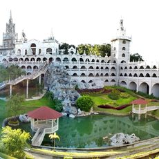
Simala Shrine
23.6 km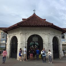
Magellan’s Cross Pavilion
26.2 km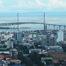
Cebu–Cordova Link Expressway
25.8 km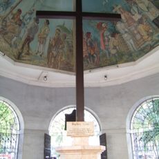
Magellan's Cross
26.2 km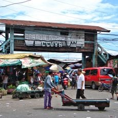
Carbon Market
25.8 km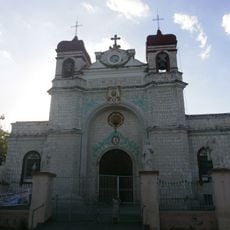
Archdiocesan Shrine of Saint Catherine of Alexandria
9.4 km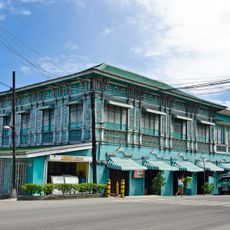
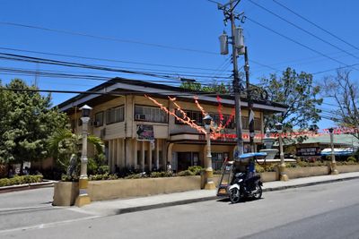
Mercado Mansion
9.4 km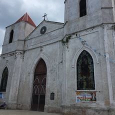
Our Lady of the Pillar Parish Church
18.9 km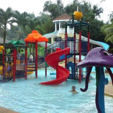
Tubod Flowing Waters Resort
15.2 km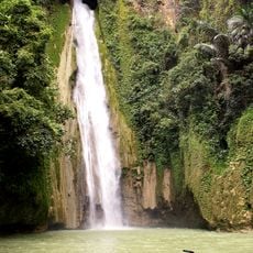
Mantayupan Falls
20.7 km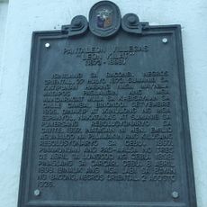
Pantaleon Villegas “Leon Kilat” historical marker
9.4 km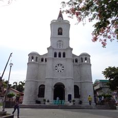
Pardo Church
21.1 km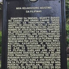
Religious Agustinians of the Philippines historical marker
26.3 km
Ang Dakong Balay historical marker
9.5 km
Don Florencio Noel House
9.5 km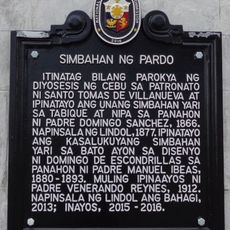
Church of Pardo historical marker
21.1 km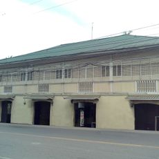
Silva House
9.4 km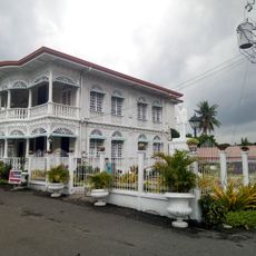
Carcar City Museum
9.4 km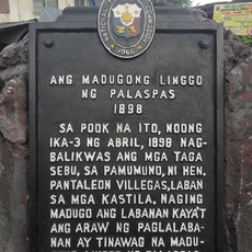
The Bloody Palm Sunday historical marker
25.2 km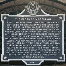
The Cross of Magellan historical marker
26.2 km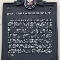
Bank of the Philippine Islands historical marker
26.3 km
Malubog Lake
22.4 km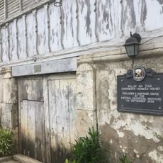
Balay na Tisa historical marker
9.6 km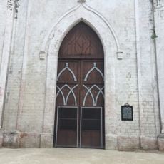
Church of Sibonga historical marker
18.9 km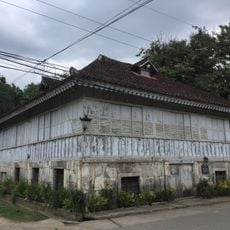
Sarmiento–Osmeña House
9.6 km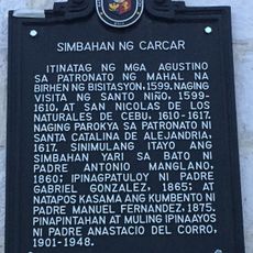
Church of Carcar historical marker
9.4 km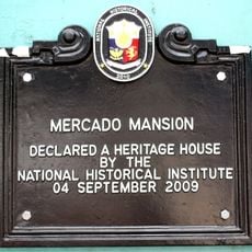
Mercado Mansion historical marker
9.4 km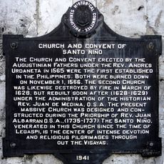
Church and Convent of Santo Niño historical marker
26.3 kmBeoordelingen
Heeft u deze plek bezocht? Tik op de sterren om een beoordeling te geven en uw ervaring of foto's te delen met de community! Probeer het nu! U kunt het op elk moment annuleren.
Ontdek verborgen schatten op elk avontuur!
Van karakteristieke kleine cafeetjes tot geheime uitzichtpunten – ontvlucht de drukte en vind plekken die echt bij jou passen. Onze app maakt het makkelijk: spraakzoekopdrachten, slimme filters, geoptimaliseerde routes en authentieke tips van reizigers wereldwijd. Download nu en beleef het avontuur op je smartphone!

Een nieuwe benadering van toeristische ontdekking❞
— Le Figaro
Alle plekken die de moeite waard zijn om te ontdekken❞
— France Info
Een uitstapje op maat in slechts een paar klikken❞
— 20 Minutes