
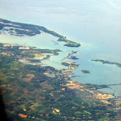
Carmen, gemeente in de Filipijnse provincie Cebu
Locatie: Cebu
Ontstaan: 1851
Hoogte boven de zeespiegel: 83 m
Grenst aan: Catmon, Tuburan, Danao
Website: http://carmencebu.gov.ph
GPS-coördinaten: 10.58333,123.96667
Laatste update: 25 maart 2025 om 01:25
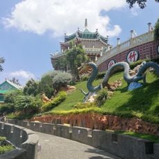
Taoïstische tempel van Cebu
29.1 km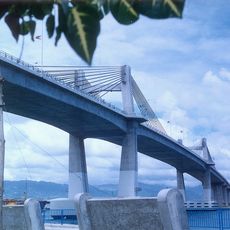
Marcelo Fernan-brug
28.6 km
Cebu Provincial Capitol
30.8 km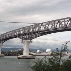
Mactan-Mandaue Bridge
29.4 km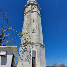
Bagacay Point Lighthouse
23 km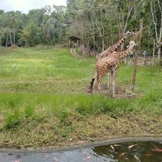
Cebu Safari and Adventure Park
833 m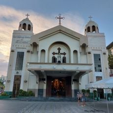
Mandaue Church
28.6 km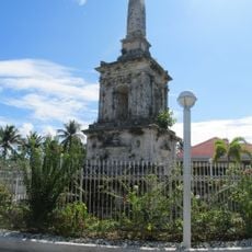
Magellan Monument
30.8 km
Muelle Osmeña Lighthouse
30.1 km
Green Lagoon
14.5 km
Upside Down World Cebu
28.8 km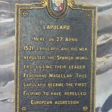
Lapulapu historical marker
30.8 km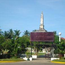
Liberty Shrine
30.8 km
Adventure Cafe
27 km
Boardwalk Beach Resort
15.2 km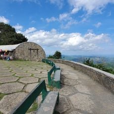
Tops Lookout
25.9 km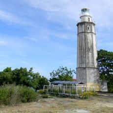
Bagacay Point Lighthouse
22.9 km
JVR Island in the Sky Resort
26.9 km
La Tegola (Busay)
25 km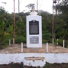
Ramon Magsaysay historical marker
22.3 km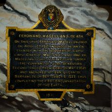
Ferdinand Magellan’s Death historical marker
30.8 km
Costañera Beach Club
10.6 km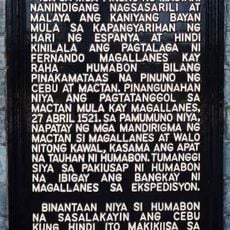
Lapulapu historical marker
30.8 km
Water View Beach Resort
15.6 km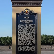
Mactan quincentennial historical marker
30.7 km
Capitol of Cebu historical marker
30.8 km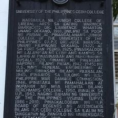
University of the Philippines Cebu College historical marker
30 km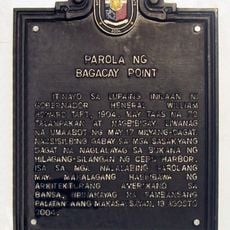
Lighthouse of Bagacay Point historical marker
23 kmHeeft u deze plek bezocht? Tik op de sterren om een beoordeling te geven en uw ervaring of foto's te delen met de community! Probeer het nu! U kunt het op elk moment annuleren.
Ontdek verborgen schatten op elk avontuur!
Van karakteristieke kleine cafeetjes tot geheime uitzichtpunten – ontvlucht de drukte en vind plekken die echt bij jou passen. Onze app maakt het makkelijk: spraakzoekopdrachten, slimme filters, geoptimaliseerde routes en authentieke tips van reizigers wereldwijd. Download nu en beleef het avontuur op je smartphone!

Een nieuwe benadering van toeristische ontdekking❞
— Le Figaro
Alle plekken die de moeite waard zijn om te ontdekken❞
— France Info
Een uitstapje op maat in slechts een paar klikken❞
— 20 Minutes