
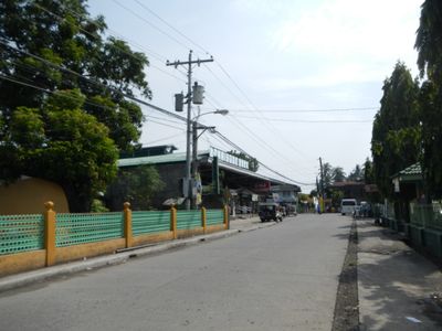
San Luis, gemeente in de Filipijnse provincie Batangas
Locatie: Batangas
Ontstaan: 25 augustus 1861
Hoogte boven de zeespiegel: 54 m
Grenst aan: Taal, Bauan
GPS-coördinaten: 13.83333,120.93333
Laatste update: 6 april 2025 om 05:15
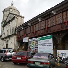
Bauan Church
9.4 km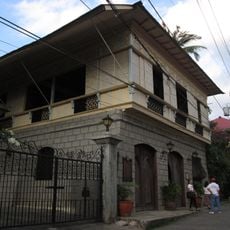
Casa Villavicencio
5.4 km
Agoncillo-Mariño House
5.3 km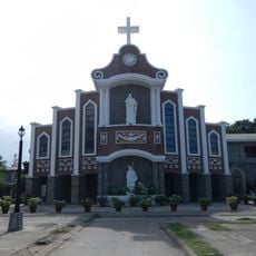
Lemery Church
5.9 km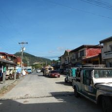
Anilao
9.4 km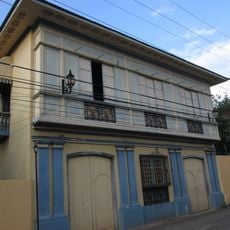
Villavicencio-Marella House
5.4 km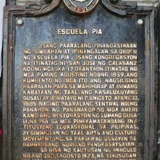
Escuela Pia historical marker
5.4 km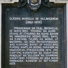
Gliceria Marella de Villavicencio historical marker
5.4 km
Tree House
14.4 km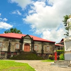
Escuela Pia
5.4 km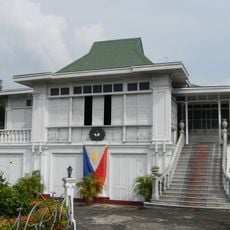
Don Gregorio Agoncillo Mansion
5 km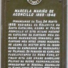
Marcela Mariño de Agoncillo historical marker
5.3 km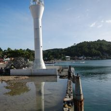
Anilao Light
13.5 km
Leon Apacible Museum
5.4 km
Galleria Taal
5.3 km
Ylagan–de la Rosa Ancestral House
5.1 km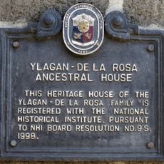
Ylagan-de la Rosa Ancestral House historical marker
5.1 km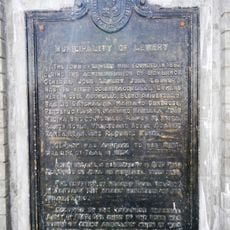
Municipality of Lemery historical marker
6 km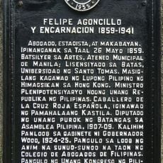
Felipe Agoncillo y Encarnacion historical marker
5.1 km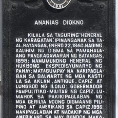
Ananias Diokno historical marker
5.2 km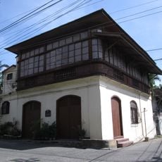
Goco Ancestral House
5.4 km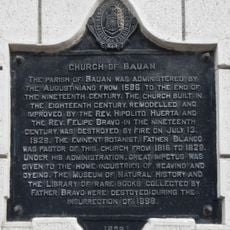
Church of Bauan historical marker
9.4 km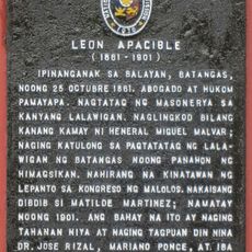
Leon Apacible historical marker
5.3 km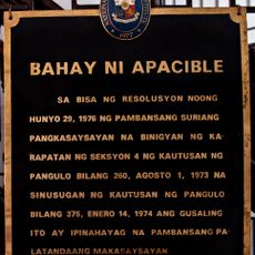
House of Apacible historical marker
5.4 km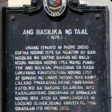
The Basilica of Taal historical marker
5.3 km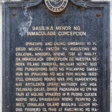
Minor Basilica of the Immaculate Conception historical marker
16.2 km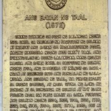
The Town of Taal historical marker
5.3 km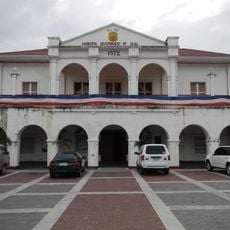
Taal Municipal Hall
5.3 kmHeeft u deze plek bezocht? Tik op de sterren om een beoordeling te geven en uw ervaring of foto's te delen met de community! Probeer het nu! U kunt het op elk moment annuleren.
Ontdek verborgen schatten op elk avontuur!
Van karakteristieke kleine cafeetjes tot geheime uitzichtpunten – ontvlucht de drukte en vind plekken die echt bij jou passen. Onze app maakt het makkelijk: spraakzoekopdrachten, slimme filters, geoptimaliseerde routes en authentieke tips van reizigers wereldwijd. Download nu en beleef het avontuur op je smartphone!

Een nieuwe benadering van toeristische ontdekking❞
— Le Figaro
Alle plekken die de moeite waard zijn om te ontdekken❞
— France Info
Een uitstapje op maat in slechts een paar klikken❞
— 20 Minutes