
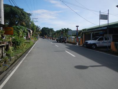
Balete, gemeente in de Filipijnse provincie Batangas
Locatie: Batangas
Ontstaan: 21 juni 1969
Hoogte boven de zeespiegel: 187 m
Grenst aan: Tanauan, Mataasnakahoy
GPS-coördinaten: 14.01667,121.10000
Laatste update: 7 maart 2025 om 21:36

Mount Taal
11.1 km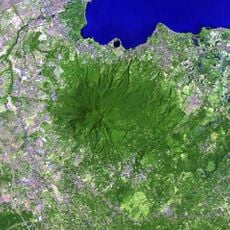
Mount Makiling
16.6 km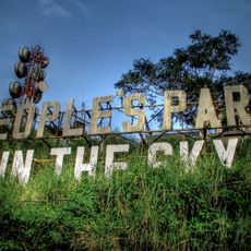
People's Park in the Sky
16.2 km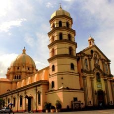
Lipa Cathedral
10.8 km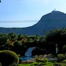
Mount Sungay
16.3 km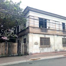
Casa de Segunda
10.9 km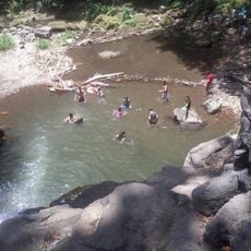
Matang Tubig
20.8 km
UPLB Museum of Natural History
21.4 km
Sky Ranch
19.5 km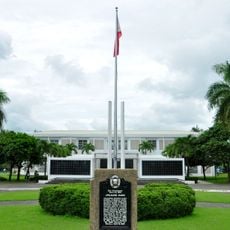
Apolinario Mabini Shrine
9.4 km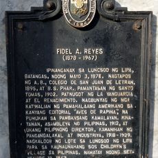
Fidel A. Reyes historical marker
10.9 km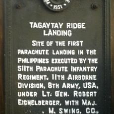
Tagaytay Ridge Landing historical marker
18.5 km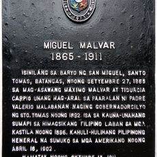
Miguel Malvar historical marker
11.4 km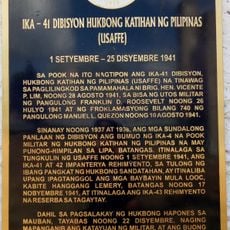
41st Division Philippine Army (USAFFE) historical marker
19.5 km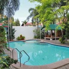
Dona Salud Resort
20.5 km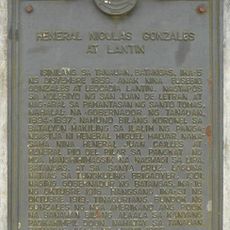
General Nicolas Gonzales y Lantin historical marker
16.4 km
Apolinario Mabini historical marker
9.4 km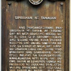
Church of Tanauan historical marker
9.6 km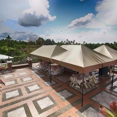
Banio kreek
21.6 km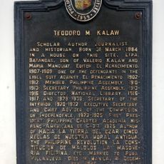
Teodoro M. Kalaw historical marker
10.7 km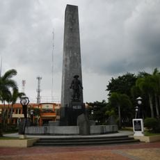
Malvar Shrine
11.4 km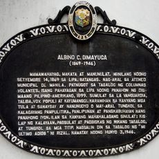
Albino C. Dimayuga historical marker
11 km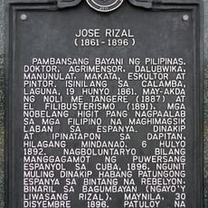
Jose Rizal historical marker
21 km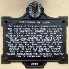
Cathedral of Lipa historical marker
10.9 km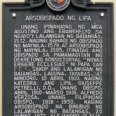
Archbishopric of Lipa historical marker
10.9 km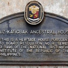
Luz–Katigbak Ancestral House historical marker
10.9 km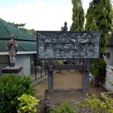
41st Division Philippine Army-USAFFE Shrine
19.5 km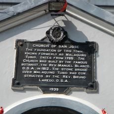
Church of San Jose historical marker
15.3 kmHeeft u deze plek bezocht? Tik op de sterren om een beoordeling te geven en uw ervaring of foto's te delen met de community! Probeer het nu! U kunt het op elk moment annuleren.
Ontdek verborgen schatten op elk avontuur!
Van karakteristieke kleine cafeetjes tot geheime uitzichtpunten – ontvlucht de drukte en vind plekken die echt bij jou passen. Onze app maakt het makkelijk: spraakzoekopdrachten, slimme filters, geoptimaliseerde routes en authentieke tips van reizigers wereldwijd. Download nu en beleef het avontuur op je smartphone!

Een nieuwe benadering van toeristische ontdekking❞
— Le Figaro
Alle plekken die de moeite waard zijn om te ontdekken❞
— France Info
Een uitstapje op maat in slechts een paar klikken❞
— 20 Minutes