
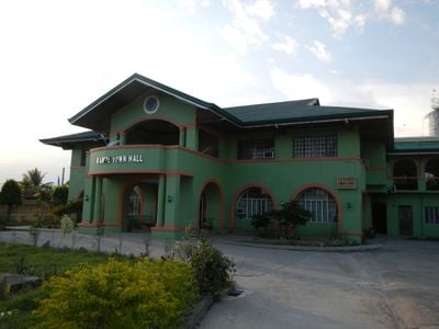
Ramos, gemeente in de Filipijnse provincie Tarlac
Locatie: Tarlac
Hoogte boven de zeespiegel: 22 m
Grenst aan: Anao, Pura
GPS-coördinaten: 15.66667,120.64167
Laatste update: 2 maart 2025 om 21:06

Officer Candidate School – Philippines
36.3 km
Monasterio de Tarlac
34.1 km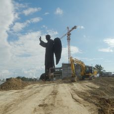
St. Vincent Ferrer Statue
27.2 km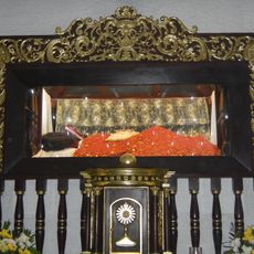
Apung Mamacalulu
35.8 km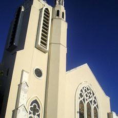
Tarlac Cathedral
20.7 km
Urdaneta Philippines Temple
35.3 km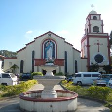
Urdaneta Cathedral
35.1 km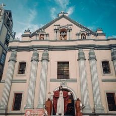
Bayambang Plaza
25.4 km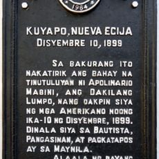
Cuyapo, Nueva Ecija historical marker
13.1 km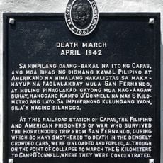
Death March historical marker
36.2 km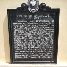
Francisco Makabulos historical marker
21.4 km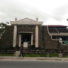
Diwa ng Tarlac
21.3 km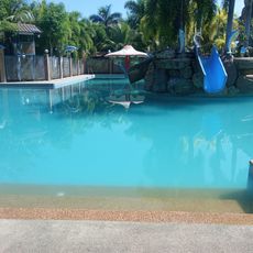
Villa Luisa Resort
8.9 km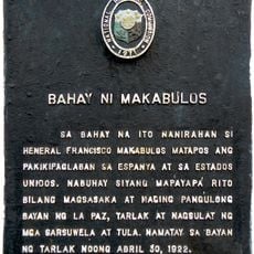
House of Makabulos historical marker
26.9 km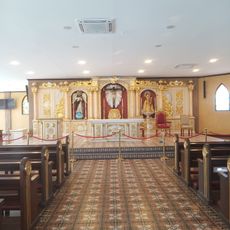
Saint Vincent Ferrer Prayer Park
27.3 km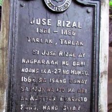
Jose Rizal historical marker
20.6 km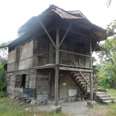
Makabulos House
26.9 km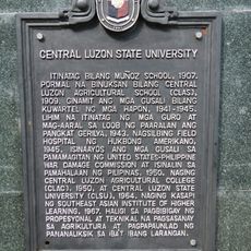
Central Luzon State University historical marker
31.7 km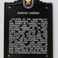
Rancho Caridad historical marker
8 km
Francisco Makabulos historical marker
26.8 km
Gerona Plaza
8.1 km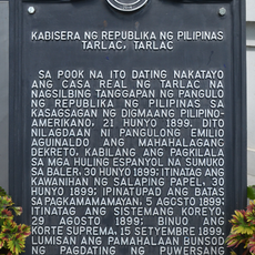
Capital of the Republic of the Philippines historical marker
21 km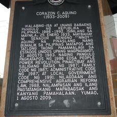
Corazon C. Aquino historical marker
20.8 km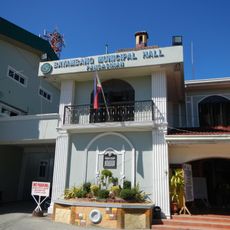
Seat of the Revolutionary Government of the Philippines historical marker
25.5 km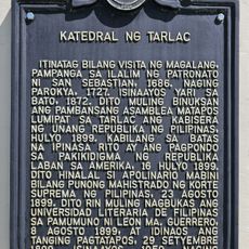
Cathedral of Tarlac historical marker
20.7 km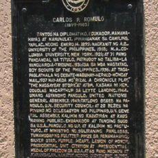
Carlos P. Romulo historical marker
24.5 km
Eugenio Perez y Padlan historical marker
32.4 km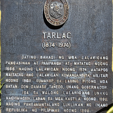
Tarlac historical marker
21 kmHeeft u deze plek bezocht? Tik op de sterren om een beoordeling te geven en uw ervaring of foto's te delen met de community! Probeer het nu! U kunt het op elk moment annuleren.
Ontdek verborgen schatten op elk avontuur!
Van karakteristieke kleine cafeetjes tot geheime uitzichtpunten – ontvlucht de drukte en vind plekken die echt bij jou passen. Onze app maakt het makkelijk: spraakzoekopdrachten, slimme filters, geoptimaliseerde routes en authentieke tips van reizigers wereldwijd. Download nu en beleef het avontuur op je smartphone!

Een nieuwe benadering van toeristische ontdekking❞
— Le Figaro
Alle plekken die de moeite waard zijn om te ontdekken❞
— France Info
Een uitstapje op maat in slechts een paar klikken❞
— 20 Minutes