
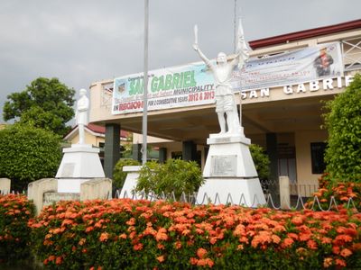
San Gabriel, gemeente in de Filipijnse provincie La Union
Locatie: La Union
Hoogte boven de zeespiegel: 150 m
Grenst aan: Santol, Kapangan, Bagulin, Bacnotan, San Juan, San Fernando, Sugpon
Website: http://sangabriel.gov.ph
GPS-coördinaten: 16.66667,120.40000
Laatste update: 2 april 2025 om 20:44
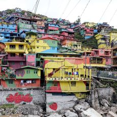
Valley of Colors
33.4 km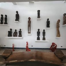
BenCab Museum
32.7 km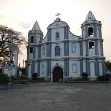
Namacpacan Church
20.9 km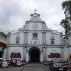
San Fernando Cathedral
10.4 km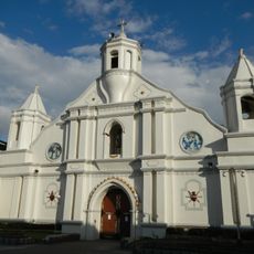
Bangar Church
25.3 km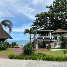
San Juan Surf Resort
8.6 km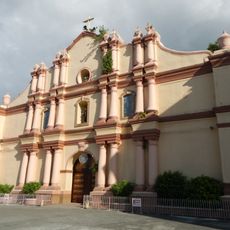
Balaoan Church
17.2 km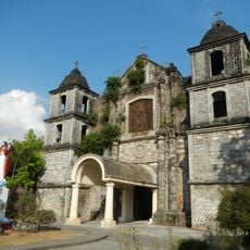
Bacnotan Church
7.7 km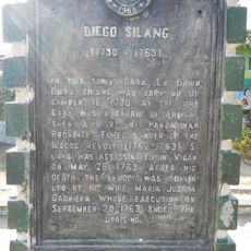
Diego Silang historical marker
26.9 km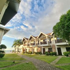
Lafaayette Luxury Suites
16.5 km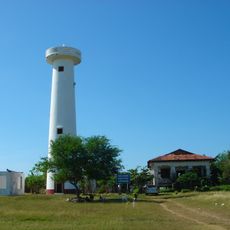
Poro Point Lighthouse
13.6 km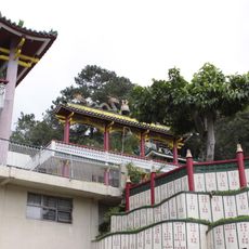
Bell Church
33.7 km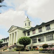
Baguio City Hall
34.8 km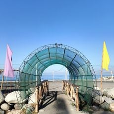
Villa Navarro Beach Resort
27.4 km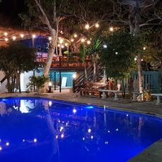
Casa La Playa
6.9 km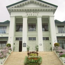
Baguio City Hall historical marker
34.8 km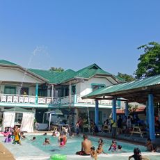
Alekin Beach Resort
16.1 km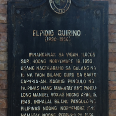
Elpidio Quirino historical marker
27.1 km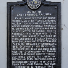
Church of San Fernando, La Union historical marker
10.5 km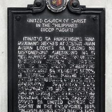
United Church of Christ in the Philippines historical marker
35 km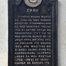
Caba historical marker
26.9 km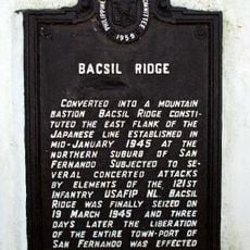
Bacsil Ridge historical marker
6.7 km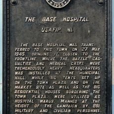
The Base Hospital historical marker
30.1 km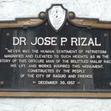
Jose Rizal historical markers
35 km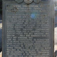
Former Site of the Constabulary School historical marker
34.7 km
Camp Spencer historical marker
18.5 km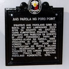
Poro Point Lighthouse historical marker
14 km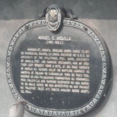
Manuel E. Arguilla historical marker
19 kmHeeft u deze plek bezocht? Tik op de sterren om een beoordeling te geven en uw ervaring of foto's te delen met de community! Probeer het nu! U kunt het op elk moment annuleren.
Ontdek verborgen schatten op elk avontuur!
Van karakteristieke kleine cafeetjes tot geheime uitzichtpunten – ontvlucht de drukte en vind plekken die echt bij jou passen. Onze app maakt het makkelijk: spraakzoekopdrachten, slimme filters, geoptimaliseerde routes en authentieke tips van reizigers wereldwijd. Download nu en beleef het avontuur op je smartphone!

Een nieuwe benadering van toeristische ontdekking❞
— Le Figaro
Alle plekken die de moeite waard zijn om te ontdekken❞
— France Info
Een uitstapje op maat in slechts een paar klikken❞
— 20 Minutes