
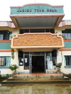
Kasibu, gemeente in de Filipijnse provincie Nueva Vizcaya
Locatie: Nueva Vizcaya
Hoogte boven de zeespiegel: 873 m
Grenst aan: Quezon, Dupax del Norte
GPS-coördinaten: 16.31806,121.29583
Laatste update: 3 april 2025 om 00:41
Mount Pulag
52.6 km
Bayombong Cathedral
24.1 km
Pantabangan–Carranglan Watershed Forest Reserve
54.5 km
Mount Guiwan
41.5 km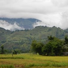
Salinas Natural Monument
30.2 km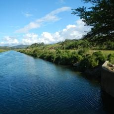
Casecnan Protected Landscape
35.7 km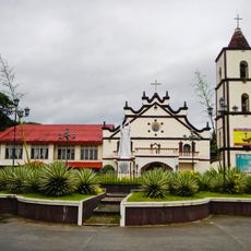
Saint Catherine of Siena Parish Church
21.7 km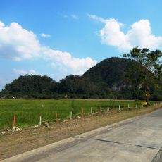
Quirino Protected Landscape
52.4 km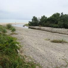
Dinadiawan River Protected Landscape
56.9 km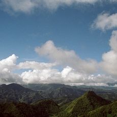
Mount Pulag National Park
43.4 km
Baler Church
68.4 km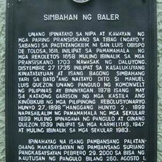
Church of Baler historical marker
68.5 km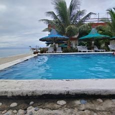
La Sunshine
54.8 km
New Highest Point
61.4 km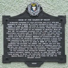
Siege of the Church of Baler historical marker
68.5 km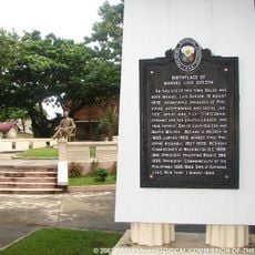
Birthplace of Manuel Luis Quezon historical marker
68.4 km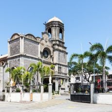
Cathedral of Saint Joseph the Worker
67.1 km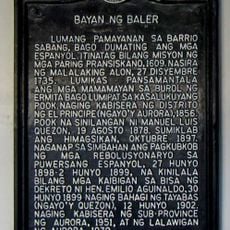
Town of Baler historical marker
68.5 km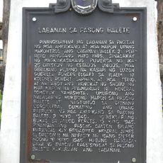
Battle of Balete Pass historical marker
44.2 km
Diva Sunrise Beach Resort
54.9 km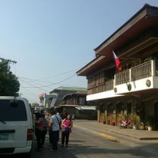
Balay Na Santiago
49.9 km
Bayombong Municipal Hall
24 km
Surrender of General Yamashita historical marker
55.8 km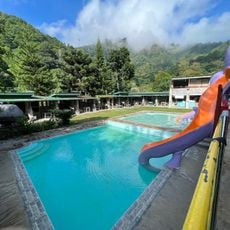
Jss Thermal Pool
66.3 km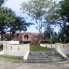
Quezon Park
68.3 km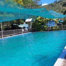
Lucky Five Swimming Pool
66.2 km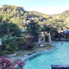
Aldom's Resort
66.1 km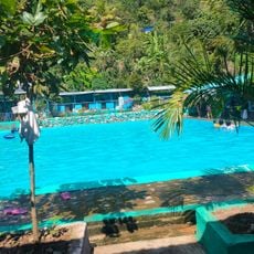
Aular Pool
65.5 kmHeeft u deze plek bezocht? Tik op de sterren om een beoordeling te geven en uw ervaring of foto's te delen met de community! Probeer het nu! U kunt het op elk moment annuleren.
Ontdek verborgen schatten op elk avontuur!
Van karakteristieke kleine cafeetjes tot geheime uitzichtpunten – ontvlucht de drukte en vind plekken die echt bij jou passen. Onze app maakt het makkelijk: spraakzoekopdrachten, slimme filters, geoptimaliseerde routes en authentieke tips van reizigers wereldwijd. Download nu en beleef het avontuur op je smartphone!

Een nieuwe benadering van toeristische ontdekking❞
— Le Figaro
Alle plekken die de moeite waard zijn om te ontdekken❞
— France Info
Een uitstapje op maat in slechts een paar klikken❞
— 20 Minutes