
Malibcong, gemeente in de Filipijnse provincie Abra
Locatie: Abra
Hoogte boven de zeespiegel: 1.012 m
Grenst aan: Licuan-Baay
GPS-coördinaten: 17.56360,120.98990
Laatste update: 7 maart 2025 om 23:23
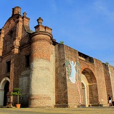
Nuestra Señora de la Asunción
58.1 km
Basilica of Our Lady of Piat
57.6 km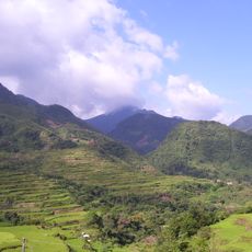
Mount Ambalatungan
29.9 km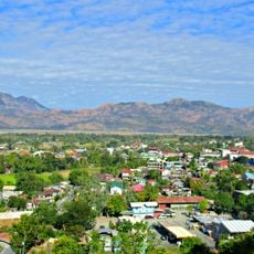
Cassamata Hill National Park
39.3 km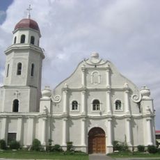
Saint Catherine of Alexandria Parish Church
36.2 km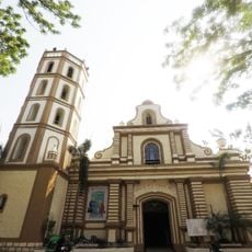
Bangued Cathedral
39.7 km
Balbalasang-Balbalan National Park
17.2 km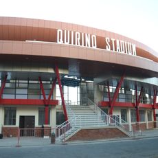
Quirino Stadium
63.7 km
Malaueg Church
49 km
Bontoc Cathedral
52.6 km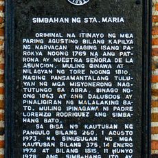
Church of Sta. Maria historical marker
58.1 km
Church of Narvacan historical marker
56.9 km
Sumaguing Cave
56.1 km
Memorare historical marker (Gregorio del Pilar)
60.6 km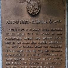
Diego–Gabriela Silang Pass historical marker
59.9 km
Battle of Tirad Pass historical marker
60.6 km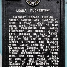
Leona Florentino historical marker
63.8 km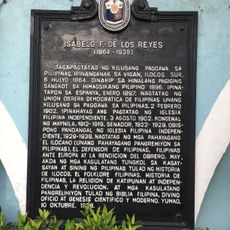
Isabelo F. de los Reyes historical marker
63.8 km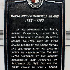
Maria Josefa Gabriela Silang historical marker
59.6 km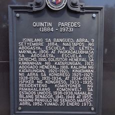
Quintin Paredes historical marker
39.5 km
Tabuk Cathedral
51.2 km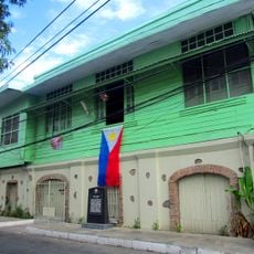
Quintin Paredes Ancestral House
39.5 km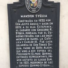
Syquia Mansion historical marker
63.7 km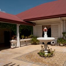
Syquia Mansion
63.7 km
Hanging Coffins of Sagada
54.5 km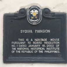
Syquia Mansion historical marker
63.7 km
Church of Sta. Maria historical marker
58.2 km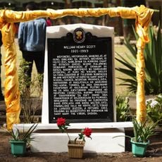
William Henry Scott historical marker
54.5 kmHeeft u deze plek bezocht? Tik op de sterren om een beoordeling te geven en uw ervaring of foto's te delen met de community! Probeer het nu! U kunt het op elk moment annuleren.
Ontdek verborgen schatten op elk avontuur!
Van karakteristieke kleine cafeetjes tot geheime uitzichtpunten – ontvlucht de drukte en vind plekken die echt bij jou passen. Onze app maakt het makkelijk: spraakzoekopdrachten, slimme filters, geoptimaliseerde routes en authentieke tips van reizigers wereldwijd. Download nu en beleef het avontuur op je smartphone!

Een nieuwe benadering van toeristische ontdekking❞
— Le Figaro
Alle plekken die de moeite waard zijn om te ontdekken❞
— France Info
Een uitstapje op maat in slechts een paar klikken❞
— 20 Minutes