
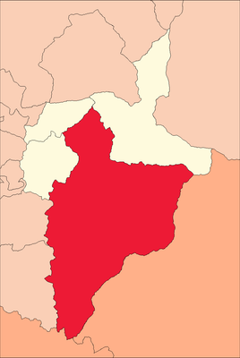
Panao District, district in Huánuco, Peru
Locatie: Pachitea Province
Hoofdstad: Panao
Hoogte boven de zeespiegel: 2.560 m
Grenst aan: Pozuzo District, Ticlacayán, San Rafael District, Ambo District, Molino District, Umari District, Chaglla District
GPS-coördinaten: -9.89860,-75.99290
Laatste update: 5 maart 2025 om 20:04
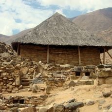
Kotosh
31.6 km
Homme de Lauricocha
90.4 km
Tingo Maria National Park
58.1 km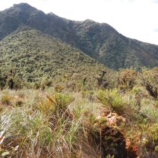
Yanachaga–Chemillén National Park
93.6 km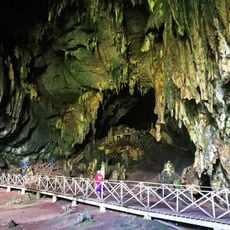
Cave of the owls
63.5 km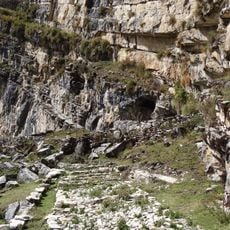
Cave of Lauricocha
84.8 km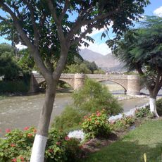
Puente Calicanto
27.2 km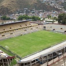
Estadio Heraclio Tapia
28.9 km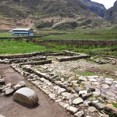
Warawtampu
86.7 km
Yanesha Communal Reserve
103.2 km
San Matías–San Carlos Protection Forest
131.9 km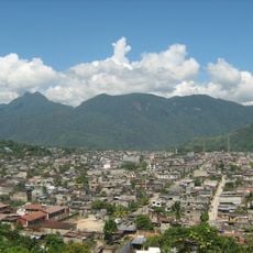
Pumarinri
65.3 km
Pumpu
118.1 km
Oxapampa-Ashaninka-Yanesha
118.4 km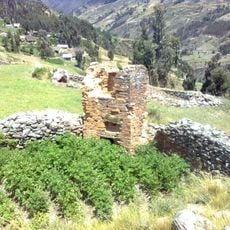
T'akaq
68.7 km
Laksha Warina
58.9 km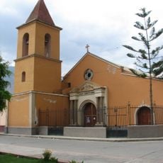
Iglesia de San Cristóbal, Huánuco
26.9 km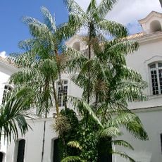
Jardín botánico de Tingo María
66.1 km
Waqurunchu
70.7 km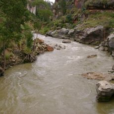
Lawriqucha River
76.3 km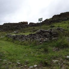
Garu
66 km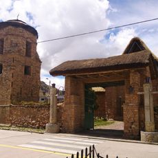
Iglesia San Pedro de Ninacaca
107.3 km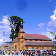
Iglesia Matriz Santa Rosa de Oxapampa
99.1 km
Shillacoto
28.4 km
Archaeological Center of Ichu Yanuna
1.6 km
Huaca Yarushpampa
86.9 km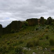
Mazur
67 km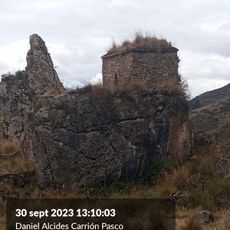
Goñicutac
81.7 kmHeeft u deze plek bezocht? Tik op de sterren om een beoordeling te geven en uw ervaring of foto's te delen met de community! Probeer het nu! U kunt het op elk moment annuleren.
Ontdek verborgen schatten op elk avontuur!
Van karakteristieke kleine cafeetjes tot geheime uitzichtpunten – ontvlucht de drukte en vind plekken die echt bij jou passen. Onze app maakt het makkelijk: spraakzoekopdrachten, slimme filters, geoptimaliseerde routes en authentieke tips van reizigers wereldwijd. Download nu en beleef het avontuur op je smartphone!

Een nieuwe benadering van toeristische ontdekking❞
— Le Figaro
Alle plekken die de moeite waard zijn om te ontdekken❞
— France Info
Een uitstapje op maat in slechts een paar klikken❞
— 20 Minutes