
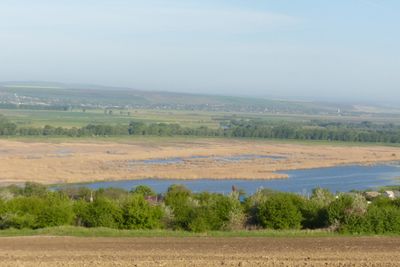
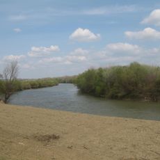
Antonești riverside, landscape reserve of Moldova
Locatie: Cantemir District
GPS-coördinaten: 46.33065,28.19469
Laatste update: 13 april 2025 om 16:16
Lunca Joasă a Prutului Inferior Natural Park
28.1 km
Codrii Tigheci
12.9 km
Комратское водохранилище
35.9 km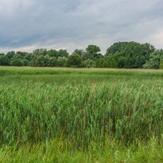
Lebăda albă
18.1 km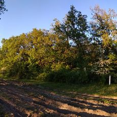
Baurci
33.2 km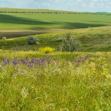
Bugeac
38.9 km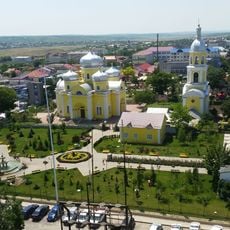
Saint John the Baptist Cathedral in Comrat
35.7 km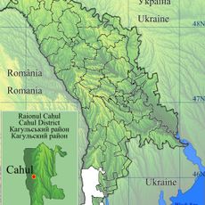
Cahul
33.3 km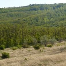
Ciobalaccia
21.6 km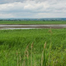
Cantemir
6.4 km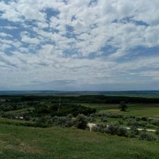
Sărata-Răzeși
37.1 km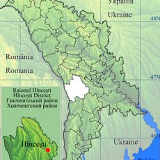
Pogănești
38.8 km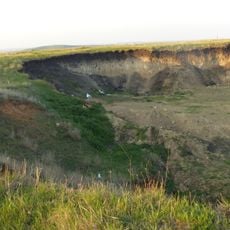
Cociulia excavation site
16 km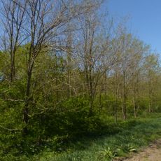
Liceul Bolgrad
33.3 km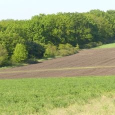
Chioselia
23.4 km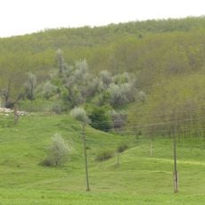
Geological section in the valley of Ialpug
37.3 km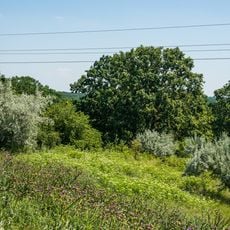
Ostianova
29.3 km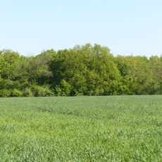
Cîietu
29.7 km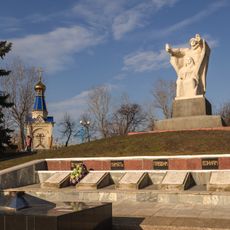
World War II memorial in Comrat
35.3 km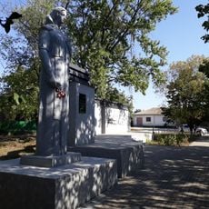
Monument la mormântul comun al ostașilor căzuți în 1944
15.8 km
Berești-Târg
35.1 km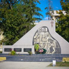
World War II memorial in Leova
17.1 km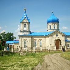
Biserica „Sf. Treime”
36.7 km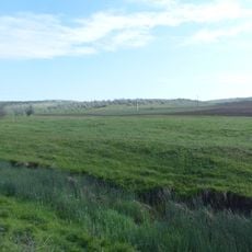
Steppe region in northern Bugeac
34.9 km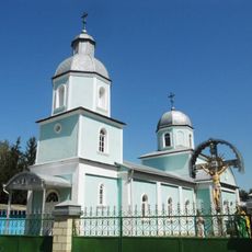
St. Paraskeva church in Leova
17 km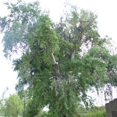
Populus alba
6.6 km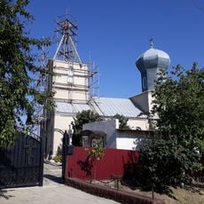
Biserica „Sf. Arhanghel Mihail”
17 km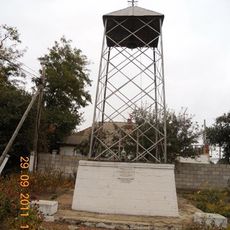
Bell tower in Doina, Cahul
26.4 kmHeeft u deze plek bezocht? Tik op de sterren om een beoordeling te geven en uw ervaring of foto's te delen met de community! Probeer het nu! U kunt het op elk moment annuleren.
Ontdek verborgen schatten op elk avontuur!
Van karakteristieke kleine cafeetjes tot geheime uitzichtpunten – ontvlucht de drukte en vind plekken die echt bij jou passen. Onze app maakt het makkelijk: spraakzoekopdrachten, slimme filters, geoptimaliseerde routes en authentieke tips van reizigers wereldwijd. Download nu en beleef het avontuur op je smartphone!

Een nieuwe benadering van toeristische ontdekking❞
— Le Figaro
Alle plekken die de moeite waard zijn om te ontdekken❞
— France Info
Een uitstapje op maat in slechts een paar klikken❞
— 20 Minutes