
Kupiškis, gemeente in Litouwen
Locatie: Lithuania
Ontstaan: juni 1950
Hoofdstad: Kupiškis
Hoogte boven de zeespiegel: 100 m
Grenst aan: Panevėžys District Municipality, Biržai District Municipality, Rokiškis District Municipality, Anykščiai District Municipality
Website: https://kupiskis.lt
GPS-coördinaten: 55.83333,25.01667
Laatste update: 3 april 2025 om 01:45
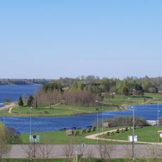
Kupiškis Lagoon
9.2 km
Beržėnai Manor
12.7 km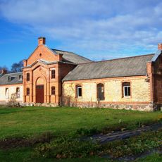
Palėvenė manor
13 km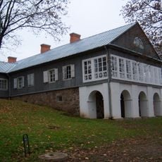
Adomynė Manor
20.4 km
Church of the Ascension of Christ, Kupiškis
2.7 km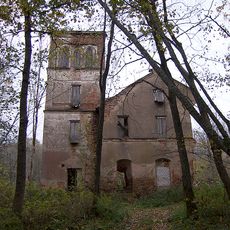
Svėdasai manor
26 km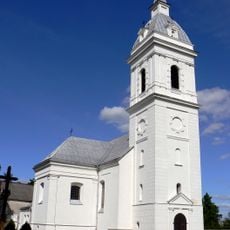
Church of Saint Dominic, Palėvenė
9.1 km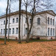
Antašava Manor
15.6 km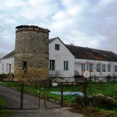
Noriūnai Manor
8.9 km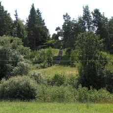
Aukštupėnai mound
3 km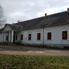
Salamiestis Manor
14.8 km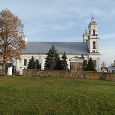
Church of the Assumption, Vabalninkas
23.4 km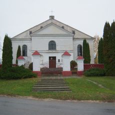
Church of St. Hyacinth, Skapiškis
13.3 km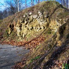
Stirniškių atodanga
12.8 km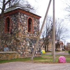
Church of St. Hyacinth, Antašava
15.7 km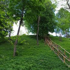
Stirniškiai hillfort
13.8 km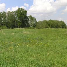
Papilių piliakalnis (Anykščiai)
18.9 km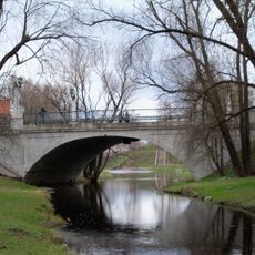
Gediminas Bridge
2.5 km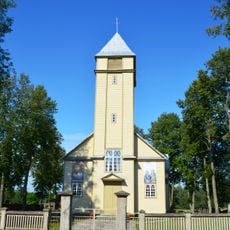
Church of St. Francis of Assisi, Subačius
18.3 km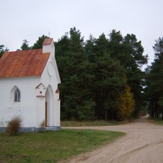
Bajorai chapel
26.4 km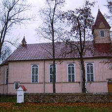
Church of the Assumption, Šimonys
13.2 km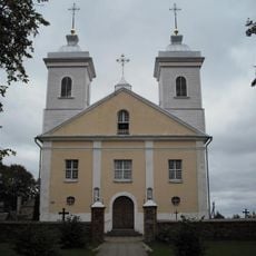
Church of the Holy Name of the Virgin Mary, Pandėlys
24.8 km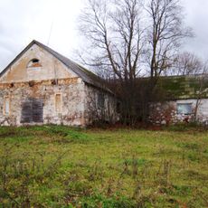
Zasinyčių dvaras
13.4 km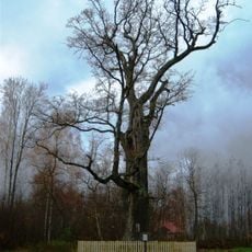
Buivėnų ąžuolas
8.8 km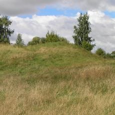
Kereliai hillfort
9.4 km
Obonys hillfort
16.2 km
Evangelical Reformed Church in Salamiestis
14.1 km
Kupiškio Museum of Ethnography
2.8 kmBeoordelingen
Heeft u deze plek bezocht? Tik op de sterren om een beoordeling te geven en uw ervaring of foto's te delen met de community! Probeer het nu! U kunt het op elk moment annuleren.
Ontdek verborgen schatten op elk avontuur!
Van karakteristieke kleine cafeetjes tot geheime uitzichtpunten – ontvlucht de drukte en vind plekken die echt bij jou passen. Onze app maakt het makkelijk: spraakzoekopdrachten, slimme filters, geoptimaliseerde routes en authentieke tips van reizigers wereldwijd. Download nu en beleef het avontuur op je smartphone!

Een nieuwe benadering van toeristische ontdekking❞
— Le Figaro
Alle plekken die de moeite waard zijn om te ontdekken❞
— France Info
Een uitstapje op maat in slechts een paar klikken❞
— 20 Minutes