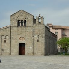
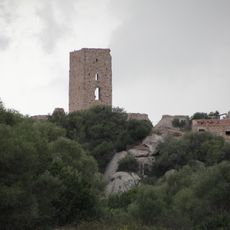
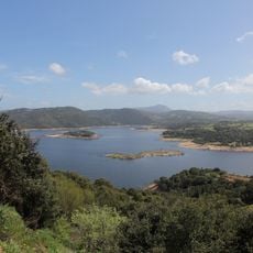
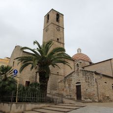
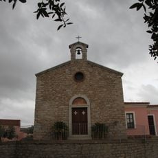
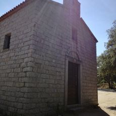
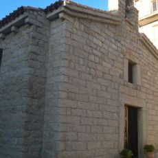
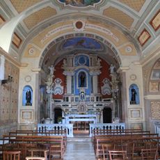
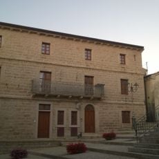
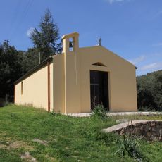
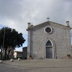
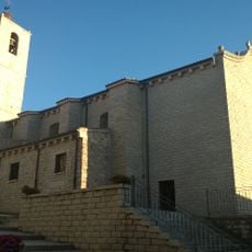
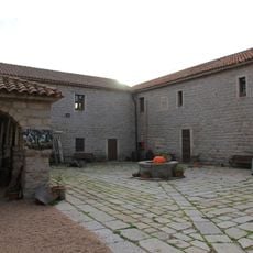
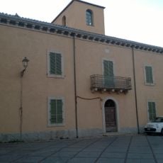
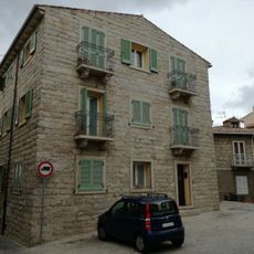
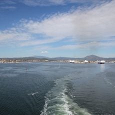
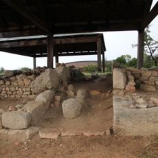
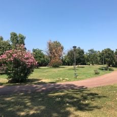
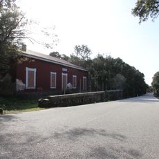
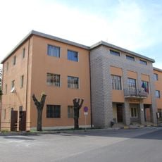
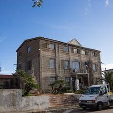
Telti, Italiaanse gemeente
Locatie: Province of Sassari
Ontstaan: 1963
Hoofdstad: Telti
Hoogte boven de zeespiegel: 326 m
Grenst aan: Calangianus, Monti, Olbia, Sant'Antonio di Gallura
Website: http://comune.telti.ot.it
GPS-coördinaten: 40.88333,9.35000
Laatste update: 10 maart 2025 om 18:38
San Simplicio, Olbia
13.2 km
Castello di Pedes
12.3 km
Lake Liscia
14.9 km
San Paolo
13.6 km
Gigantengrab Su Monte de s’Ape
11.3 km
Stade Signora-Chiara
13.4 km
Acquedotto romano di Sa Rughittula
14.3 km
Museum of Cork
14 km
San Nicola
12.9 km
Nostra Signora delle Grazie
13.5 km
Chiesa di Sant'Anna
13.7 km
Santa Maria degli Angeli
14 km
Palazzu Mannu
13.7 km
San Bartolomeo
15.8 km
Santa Croce
13.7 km
Chiesa di Santa Vittoria
971 m
Chiesa di Santa Giusta
13.7 km
Ex convento dei frati cappuccini
14 km
Palazzo Corda
13.8 km
Museo archeologico di Olbia
14 km
Palazzo La Littranga
13.7 km
Olbia
13.2 km
Fattoria romana di S'Imbalconadu
13.1 km
Town hall of Olbia
13.8 km
Fausto Noce park
13.4 km
Casa cantoniera di Catala
10.8 km
Town hall of Calangianus
14 km
Town hall of Telti
820 mHeeft u deze plek bezocht? Tik op de sterren om een beoordeling te geven en uw ervaring of foto's te delen met de community! Probeer het nu! U kunt het op elk moment annuleren.
Ontdek verborgen schatten op elk avontuur!
Van karakteristieke kleine cafeetjes tot geheime uitzichtpunten – ontvlucht de drukte en vind plekken die echt bij jou passen. Onze app maakt het makkelijk: spraakzoekopdrachten, slimme filters, geoptimaliseerde routes en authentieke tips van reizigers wereldwijd. Download nu en beleef het avontuur op je smartphone!
Een nieuwe benadering van toeristische ontdekking❞
— Le Figaro
Alle plekken die de moeite waard zijn om te ontdekken❞
— France Info
Een uitstapje op maat in slechts een paar klikken❞
— 20 Minutes