
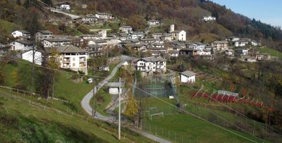
Rorà, een gemeente in de Italiaanse provincie Turijn (regio Piëmont)
Locatie: Metropolitan City of Turin
Hoofdstad: Rorà
Hoogte boven de zeespiegel: 967 m
Grenst aan: Bagnolo Piemonte, Luserna San Giovanni, Torre Pellice, Villar Pellice
Website: http://comune.rora.to.it
GPS-coördinaten: 44.79214,7.19902
Laatste update: 22 april 2025 om 01:58

Pian del Re
13.1 km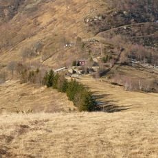
Colle della Vaccera
9.3 km
Monte Vandalino
5.7 km
Monte Meidassa
13 km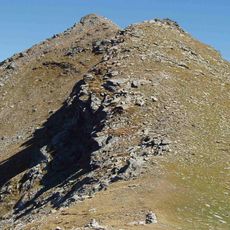
Monte Friolànd
6.9 km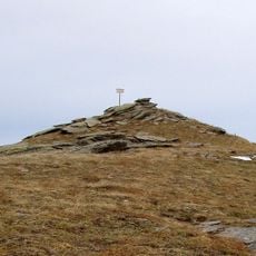
Punta Ostanetta
7.1 km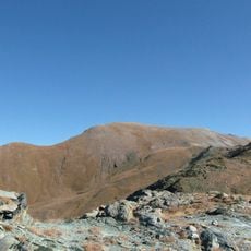
Punta Sea Bianca
10.1 km
Punta Cornour
10.6 km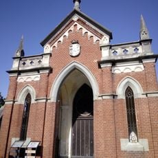
Chapel of San Bernardino
4.6 km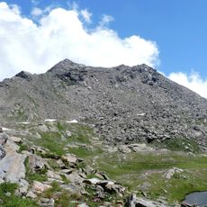
Punta Cialancia
11 km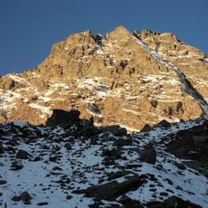
Monte Manzol
12.7 km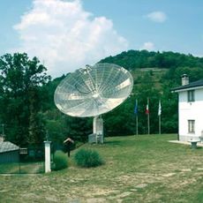
Osservatorio astronomico di Luserna San Giovanni
6.1 km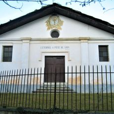
Ciabàs
4.7 km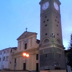
Santa Maria Assunta
9.1 km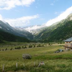
Pra - Barant
11.7 km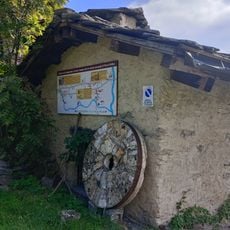
Museo del mulino
3.1 km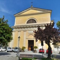
Chiesa di San Martino
3.9 km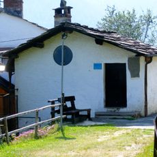
School museum Odin-Bertot
6.1 km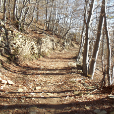
Bosco di Pian Prà
790 m
Town hall of Oncino
12.9 km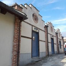
Ecomuseo Feltrificio Crumiere
3.8 km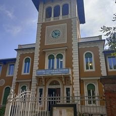
Museo Valdese
3.5 km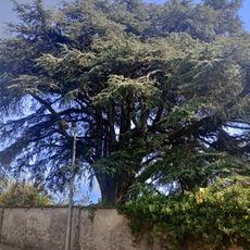
Cedro del Libano
4 km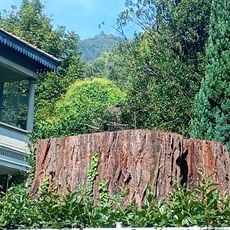
Sequoia gigante
3.5 km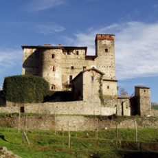
Castello
9.3 km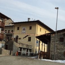
Town hall of Ostana
11.1 km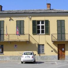
Town hall of Campiglione Fenile
10 km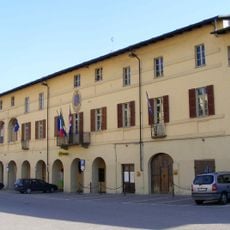
Town hall of Bricherasio
9 kmBeoordelingen
Heeft u deze plek bezocht? Tik op de sterren om een beoordeling te geven en uw ervaring of foto's te delen met de community! Probeer het nu! U kunt het op elk moment annuleren.
Ontdek verborgen schatten op elk avontuur!
Van karakteristieke kleine cafeetjes tot geheime uitzichtpunten – ontvlucht de drukte en vind plekken die echt bij jou passen. Onze app maakt het makkelijk: spraakzoekopdrachten, slimme filters, geoptimaliseerde routes en authentieke tips van reizigers wereldwijd. Download nu en beleef het avontuur op je smartphone!

Een nieuwe benadering van toeristische ontdekking❞
— Le Figaro
Alle plekken die de moeite waard zijn om te ontdekken❞
— France Info
Een uitstapje op maat in slechts een paar klikken❞
— 20 Minutes