
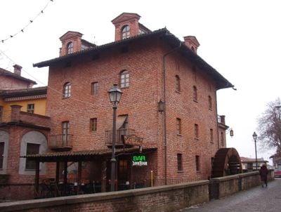
Pancalieri, Italiaanse gemeente
Locatie: Metropolitan City of Turin
Hoofdstad: Pancalieri
Hoogte boven de zeespiegel: 243 m
Grenst aan: Faule, Osasio, Vigone, Villafranca Piemonte, Virle Piemonte, Lombriasco, Casalgrasso, Polonghera
Website: http://comune.pancalieri.to.it
GPS-coördinaten: 44.83344,7.58592
Laatste update: 9 maart 2025 om 01:19
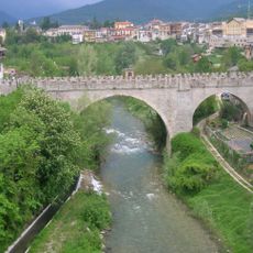
Maira
5.1 km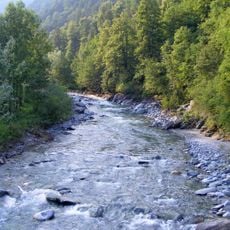
Varaita
2.2 km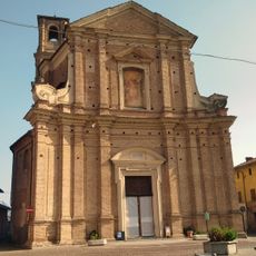
San Giovanni Battista Church
8.7 km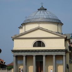
Santuario Reale Votivo Madonna delle Grazie
9.9 km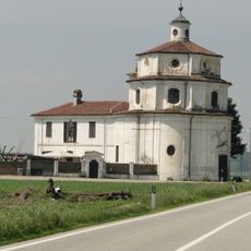
Sanctuary of Valinotto
6.6 km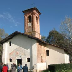
Cappella di Missione
10.1 km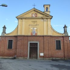
Santa Caterina
9.3 km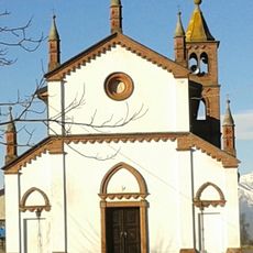
Santuario della Beata Vergine del Lago
3.3 km
Carmagnola civic historical natural museum
9.8 km
Santissima Trinità
4.4 km
Santi Maria Maddalena e Stefano
8.5 km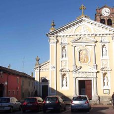
Chiesa parrocchiale di San Biagio vescovo e martire
3.1 km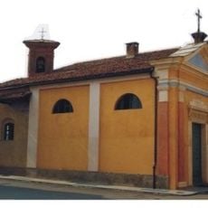
Sant'Anna
7.2 km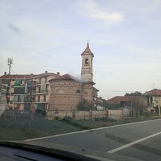
Chiesa di Santa Maria
3.5 km
The Mint Museum of Medicinal Plants
199 m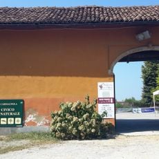
Civic Museum of Natural History in Carmagnola
9.8 km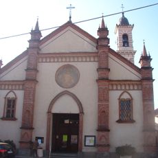
Santa Caterina, Vigone
7.4 km
Castello di Casalgrasso
3.7 km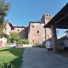
Castello di Carpenetta
5.5 km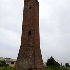
Torre Valsorda
8.9 km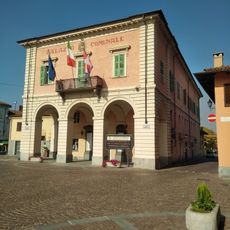
Town hall of Moretta
8.7 km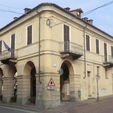
Town hall of Murello
9 km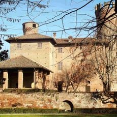
Castello
3.1 km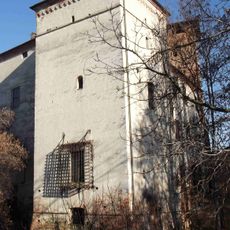
Castello
3.1 km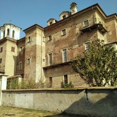
Castello di Moretta
8.7 km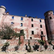
Castello di Bonavalle
7.9 km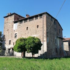
Murello Castle
9.1 km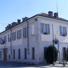
Town hall of Cercenasco
7.4 kmBeoordelingen
Heeft u deze plek bezocht? Tik op de sterren om een beoordeling te geven en uw ervaring of foto's te delen met de community! Probeer het nu! U kunt het op elk moment annuleren.
Ontdek verborgen schatten op elk avontuur!
Van karakteristieke kleine cafeetjes tot geheime uitzichtpunten – ontvlucht de drukte en vind plekken die echt bij jou passen. Onze app maakt het makkelijk: spraakzoekopdrachten, slimme filters, geoptimaliseerde routes en authentieke tips van reizigers wereldwijd. Download nu en beleef het avontuur op je smartphone!

Een nieuwe benadering van toeristische ontdekking❞
— Le Figaro
Alle plekken die de moeite waard zijn om te ontdekken❞
— France Info
Een uitstapje op maat in slechts een paar klikken❞
— 20 Minutes