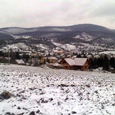
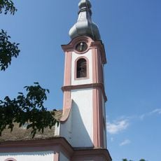
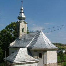
District Bonyhád, district in Hongarije
De community van nieuwsgierige reizigers
AroundUs brengt duizenden geselecteerde plaatsen, lokale tips en verborgen pareltjes samen, dagelijks verrijkt door meer dan 60,000 bijdragers wereldwijd.
Locatie
Ontstaan
18e eeuw
Hoofdstad
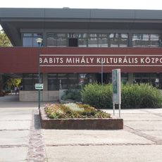
Bonyhád
Grenst aan
Szekszárd District, Tamási District, Hegyhát District, Komló District, Pécs District, Pécsvárad District, Mohács District
GPS-coördinaten
46.28333,18.51667
Laatste update
2 maart 2025 om 21:07