
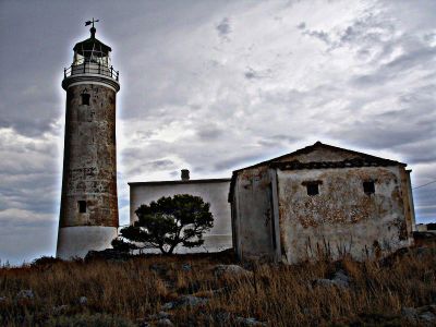
Moudari Lighthouse, lighthouse on north coast of Kythira, Greece
Locatie: Kythira Municipality
Ontstaan: 1857
Hoogte: 25 m
GPS-coördinaten: 36.38111,22.95007
Laatste update: 3 maart 2025 om 00:11
Church of Agia Sofia
35.6 km
Moni Myrtidion
20.3 km
Monemvasia Mosque
35.4 km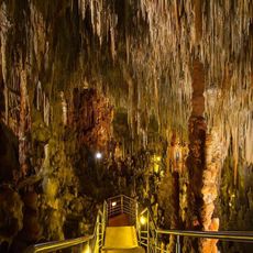
Kastania Cave
24.1 km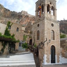
Church of Elkomenos Christos (Monemvasia)
35.4 km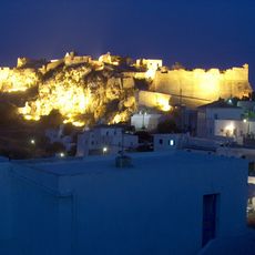
Castle of Kythira
26.4 km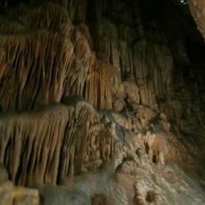
Agia Sofia Cave
14.7 km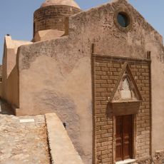
Church of Agios Nikolaos
35.1 km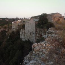
Mylopotamos Castle
15.1 km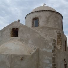
Naos Panagias Myrtidiotissas
35.4 km
Cape Maleas Lighthouse
23.8 km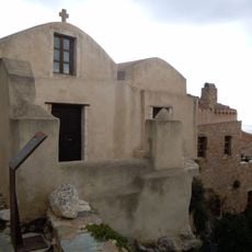
Church of Agios Antonios (Monemvasia)
35.3 km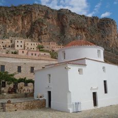
Panaghia Chrisaffitisa
35.5 km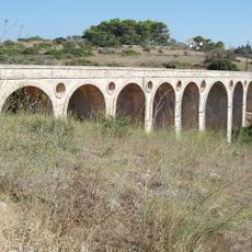
Katouni bridge, Kythira
22.1 km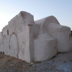
Church of Christ Pantokratora
26.4 km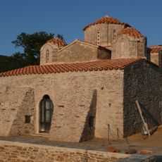
Church of Pantanassa, Pantanassa
24.6 km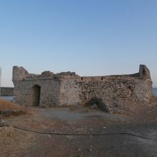
Avlemon Fort
20.9 km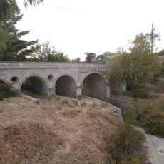
Potamos community bridge
9.2 km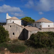
Agios Dimitrios in Pourko
23.3 km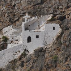
Agios Ioannis in Krimno
26.3 km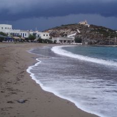
Kapsali
26.8 km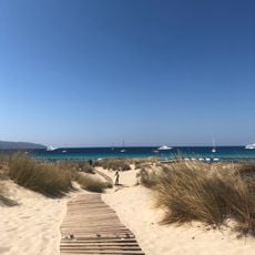
Simos beach
10.6 km
Pori beach
38.4 km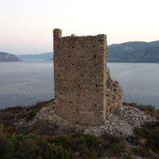
Tower of Palia Monemvasia
39.9 km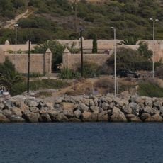
Kapsali lazaretto, Kythira
27.1 km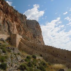
East Wall of Lower town of Monemvasia
35.5 km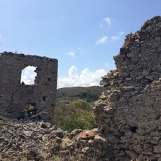
Palaiochora Castle
10.2 km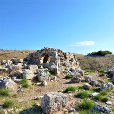
Agioi Asomatoi (Anatoliki Mani)
41.6 kmBeoordelingen
Heeft u deze plek bezocht? Tik op de sterren om een beoordeling te geven en uw ervaring of foto's te delen met de community! Probeer het nu! U kunt het op elk moment annuleren.
Ontdek verborgen schatten op elk avontuur!
Van karakteristieke kleine cafeetjes tot geheime uitzichtpunten – ontvlucht de drukte en vind plekken die echt bij jou passen. Onze app maakt het makkelijk: spraakzoekopdrachten, slimme filters, geoptimaliseerde routes en authentieke tips van reizigers wereldwijd. Download nu en beleef het avontuur op je smartphone!

Een nieuwe benadering van toeristische ontdekking❞
— Le Figaro
Alle plekken die de moeite waard zijn om te ontdekken❞
— France Info
Een uitstapje op maat in slechts een paar klikken❞
— 20 Minutes