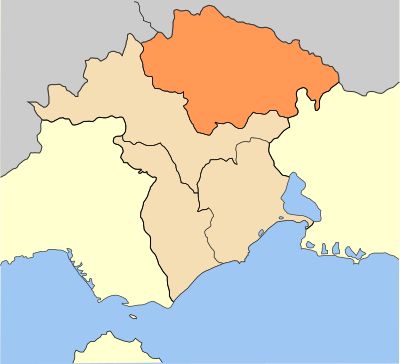
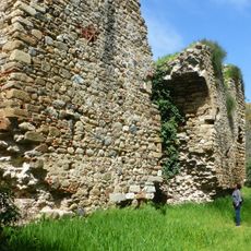
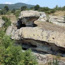
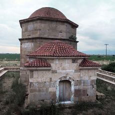
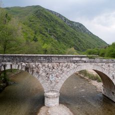
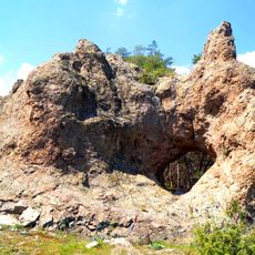
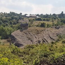
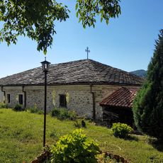
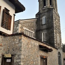
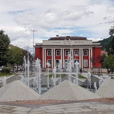
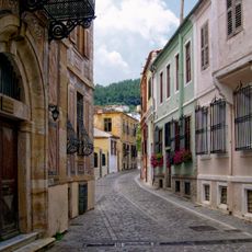
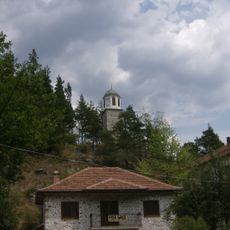
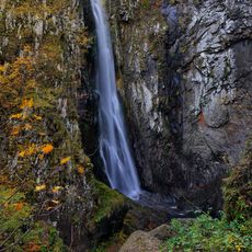
Myki Municipality, municipality of Xanthi regional unit, Greece
Locatie: Xanthi Regional Unit
GPS-coördinaten: 41.28744,24.97899
Laatste update: 11 maart 2025 om 14:24
Mosynopolis
34 km
Ustra Fortress
29 km
Papikio
28.1 km
Clock Tower of Xanthi
18.1 km
Budali Hodja Tekke
7.2 km
Anastasiopolis
22.7 km
Monument-ossuary, Srednogorets
31 km
Скално-култов комплекс с.Бенковски
23.1 km
Polyanthos bridge
25.4 km
Kioutouklou Baba Tekke
24.5 km
Koznik
22.7 km
Aladag
28.8 km
Hamidiye bridge
16 km
Il kaya
30.7 km
Гъбата – скално образувание
23.2 km
Church of the Assumption
14 km
Fotinovo Turtles
31.2 km
Tobacco warehouse of the Ottoman monopoly, «Rezi»
18.7 km
Saint George Church
14.3 km
Народно читалище „Иван Вазов-1999“
23.9 km
Mithras relief at Thermes
7.1 km
Memorial to Pontian Hellenism, Xanthi
18.4 km
1st Primary School of Xanthi
17.7 km
Archontiko Kougioumtzoglou
17.7 km
Clock Tower of Smilyan
31.6 km
Limnes Vistonis, Ismaris - Limnothalasses Porto Lagos, Alyki Ptelea, Xirolimni, Karatza
28.1 km
Livaditis
26 km
Memorial to the Fallen (Plateia Eleftherias), Xanthi
18.5 kmHeeft u deze plek bezocht? Tik op de sterren om een beoordeling te geven en uw ervaring of foto's te delen met de community! Probeer het nu! U kunt het op elk moment annuleren.
Ontdek verborgen schatten op elk avontuur!
Van karakteristieke kleine cafeetjes tot geheime uitzichtpunten – ontvlucht de drukte en vind plekken die echt bij jou passen. Onze app maakt het makkelijk: spraakzoekopdrachten, slimme filters, geoptimaliseerde routes en authentieke tips van reizigers wereldwijd. Download nu en beleef het avontuur op je smartphone!
Een nieuwe benadering van toeristische ontdekking❞
— Le Figaro
Alle plekken die de moeite waard zijn om te ontdekken❞
— France Info
Een uitstapje op maat in slechts een paar klikken❞
— 20 Minutes