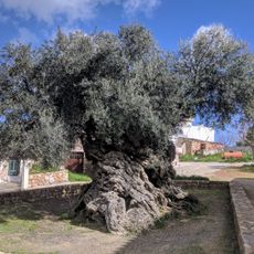
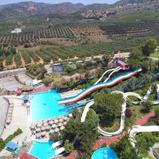
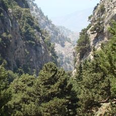
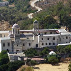
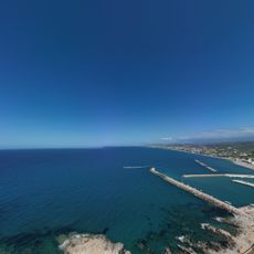
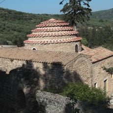
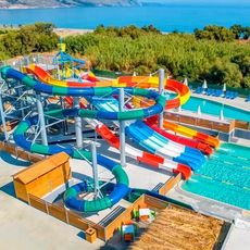
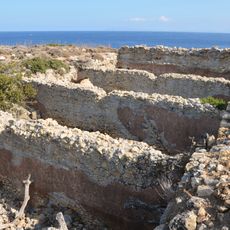
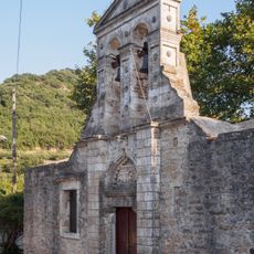
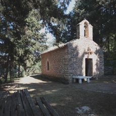
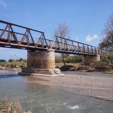
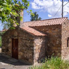
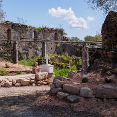
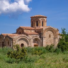
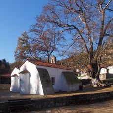
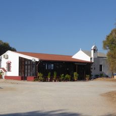
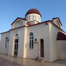
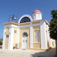
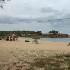
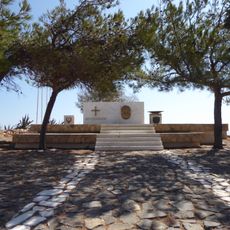
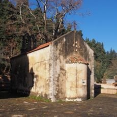
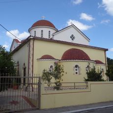
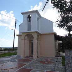
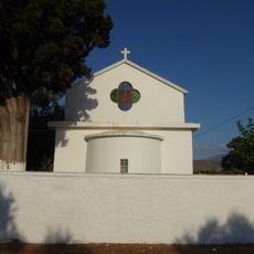
Platanias Municipality, municipality in Crete, Grece
Locatie: Chania Regional Unit
GPS-coördinaten: 35.49493,23.82757
Laatste update: 29 maart 2025 om 09:00
Olive tree of Vouves
3.8 km
Limnoupolis
13.3 km
Agia Irinikloof
21.8 km
Moni Gonia Monastery
7.7 km
Gonia Odigitria Monastery
7.7 km
Church of Archangel Michael
5.9 km
Selini Waterpark
5.3 km
Diktynaion
19.7 km
Ιερός Ναός Αγίου Ιωάννου του Προδρόμου στα Δελιανά Κισάμου
9.8 km
Church of Panagia
5.2 km
Bridge of Tavronitis
3.5 km
Church of Agios Georgios
8.8 km
Palaiochristianikos Naos Panagias, Agia Kydonias
9.2 km
Church of Zoodochou Pigis, Alikiano Kydonias
7.7 km
Dormition of the Mother of God church
17.5 km
Holy Apostles church
13.8 km
Church in Pano Kamisiana
3.9 km
Saint Spyridon church
9.3 km
Ag. Apostoloi 2
13.9 km
War Memorial for Greek Cadets of WW2
8.2 km
Saint George church
17.4 km
Panagia Myrtidiotissa church
3.9 km
Saint Nicholas church
4.3 km
Cemetery church in Pano Kamisiana
4.2 km
Keritis river bridge, Alikiano
9.4 km
Saint Marina church
10.1 km
Ag. Apostoloi 1
14.3 km
Maleme tholos
3.2 kmBeoordelingen
Heeft u deze plek bezocht? Tik op de sterren om een beoordeling te geven en uw ervaring of foto's te delen met de community! Probeer het nu! U kunt het op elk moment annuleren.
Ontdek verborgen schatten op elk avontuur!
Van karakteristieke kleine cafeetjes tot geheime uitzichtpunten – ontvlucht de drukte en vind plekken die echt bij jou passen. Onze app maakt het makkelijk: spraakzoekopdrachten, slimme filters, geoptimaliseerde routes en authentieke tips van reizigers wereldwijd. Download nu en beleef het avontuur op je smartphone!
Een nieuwe benadering van toeristische ontdekking❞
— Le Figaro
Alle plekken die de moeite waard zijn om te ontdekken❞
— France Info
Een uitstapje op maat in slechts een paar klikken❞
— 20 Minutes