
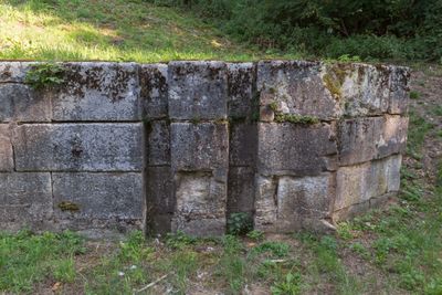
Ehemalige Kanalsperre bei Beilngries, Sicherheitstor im Landkreis Eichstätt in Bayern
Locatie: Beilngries
Onderdeel van: Ludwig Canal, road bridge
GPS-coördinaten: 49.04327,11.49208
Laatste update: 7 maart 2025 om 09:22
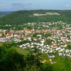
Arzberg
1.2 km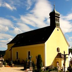
Saint Lucy
1.4 km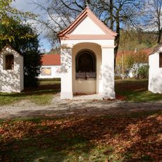
Maria-Hilf chapel ensemble
1.1 km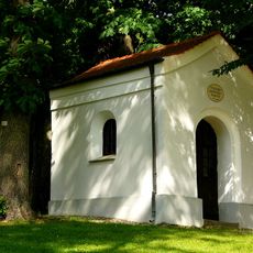
Fourteen Holy Helpers chapel
1.2 km
Lutheran Christ Church
1.2 km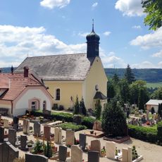
Cemetery ensemble
1.4 km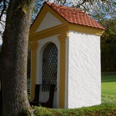
Field chapel in the Ried
568 m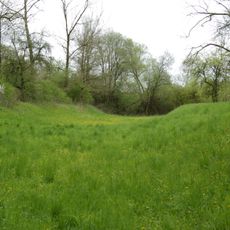
Erdbauten des Ludwig-Donau-Main-Kanals #07
1.3 km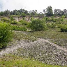
Aufgelassener Steinbruch am westlichen Arzberg
1.3 km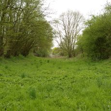
Abschnitt des Ludwig-Donau-Main-Kanals #08
906 m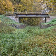
Part #3 of cultural heritage D-1-76-114-73 in Bavaria, Germany
11 m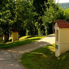
Way of the Cross
1.4 km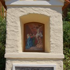
12th Station of the Cross
1.4 km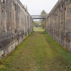
Schleuse 22 des Ludwig-Donau-Main-Kanals
1.3 km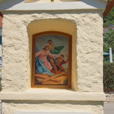
7th Station of the Cross
1.4 km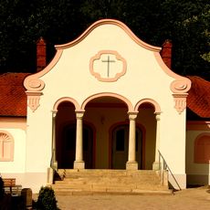
Morgue
1.4 km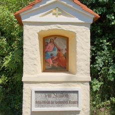
8th Station of the Cross
1.4 km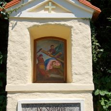
9th Station of the Cross
1.4 km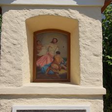
10th Station of the Cross
1.4 km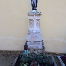
Sepulchral monument
1.4 km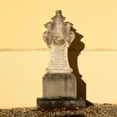
Sepulchral monument
1.4 km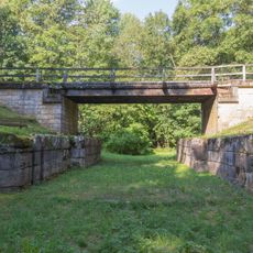
Part #2 of cultural heritage D-1-76-114-73 in Bavaria, Germany
937 m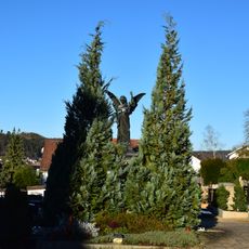
Sepulchral monument
1.4 km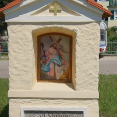
6th Station of the Cross
1.5 km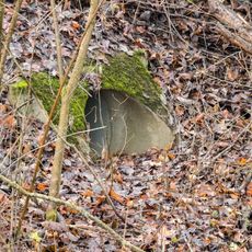
Kanaldurchführung der EI21 bei Beilngries
671 m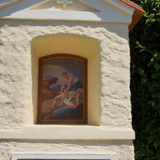
11th Station of the Cross
1.4 km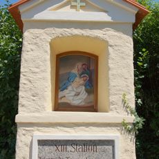
13th Station of the Cross
1.4 km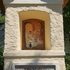
14th Station of the Cross
1.4 kmHeeft u deze plek bezocht? Tik op de sterren om een beoordeling te geven en uw ervaring of foto's te delen met de community! Probeer het nu! U kunt het op elk moment annuleren.
Ontdek verborgen schatten op elk avontuur!
Van karakteristieke kleine cafeetjes tot geheime uitzichtpunten – ontvlucht de drukte en vind plekken die echt bij jou passen. Onze app maakt het makkelijk: spraakzoekopdrachten, slimme filters, geoptimaliseerde routes en authentieke tips van reizigers wereldwijd. Download nu en beleef het avontuur op je smartphone!

Een nieuwe benadering van toeristische ontdekking❞
— Le Figaro
Alle plekken die de moeite waard zijn om te ontdekken❞
— France Info
Een uitstapje op maat in slechts een paar klikken❞
— 20 Minutes