
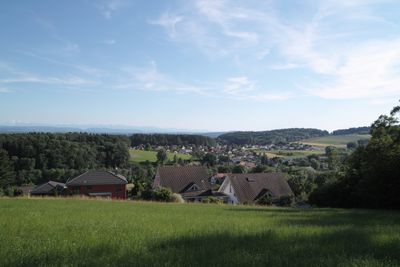
Hubersdorf, gemeente in Solothurn
Locatie: Solothurn
Locatie: Lebern District
Hoogte boven de zeespiegel: 480 m
Grenst aan: Riedholz
Website: http://hubersdorf.ch
GPS-coördinaten: 47.24333,7.59056
Laatste update: 13 maart 2025 om 05:15
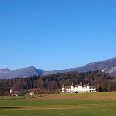
Waldegg Castle with gardens and outbuildings
3.9 km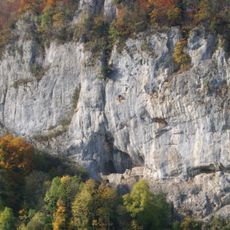
Balm ruins
3 km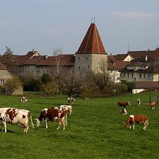
Wiedlisbach Castle
4.3 km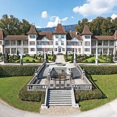
Waldegg Castle
3.9 km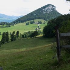
Rüttelhorn
4.3 km
Balmfluechöpfli
4 km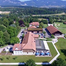
Golfclub Wylihof
2 km
Silberkugel concrete bowls
2.8 km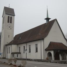
St. Joseph parish church
3.2 km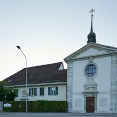
Chapel and beneficiary house of St. Katharinen
4.3 km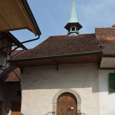
Reformed Katharinen chapel
4.4 km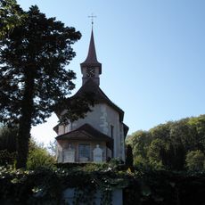
St. Niklaus catholic church with surrounding grave monuments
4.4 km
Restaurant Glutzenberg
2.6 km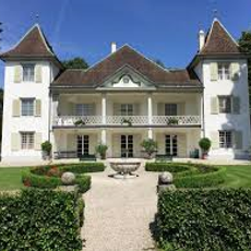
Emmenholz Castle
3.6 km
Elsässli workers' housing estate
4.5 km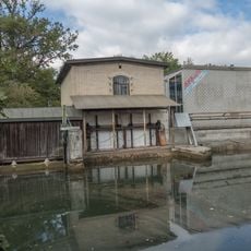
Power station at the Emmen canal
3.4 km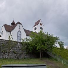
Parish church of St. Peter and Paul
1 km
Waldegghof with granary
3.8 km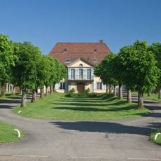
Koch Villa
4.2 km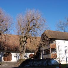
Granary Waldegghof
3.8 km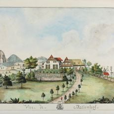
Mattenhof manor house
1.4 km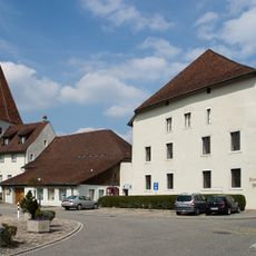
Granary
4.3 km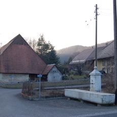
Limestone fountain
4.5 km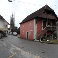
Bake house storehouse / museum building
1.8 km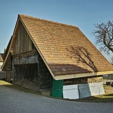
Granary (17. c.)
3.5 km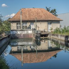
Schoeller site hydroelectric power station
4.4 km
Egghof, former Gasthaus zum Einhorn
481 m
Village fortification
4.3 kmHeeft u deze plek bezocht? Tik op de sterren om een beoordeling te geven en uw ervaring of foto's te delen met de community! Probeer het nu! U kunt het op elk moment annuleren.
Ontdek verborgen schatten op elk avontuur!
Van karakteristieke kleine cafeetjes tot geheime uitzichtpunten – ontvlucht de drukte en vind plekken die echt bij jou passen. Onze app maakt het makkelijk: spraakzoekopdrachten, slimme filters, geoptimaliseerde routes en authentieke tips van reizigers wereldwijd. Download nu en beleef het avontuur op je smartphone!

Een nieuwe benadering van toeristische ontdekking❞
— Le Figaro
Alle plekken die de moeite waard zijn om te ontdekken❞
— France Info
Een uitstapje op maat in slechts een paar klikken❞
— 20 Minutes