
Nana-Mambéré, prefecture of the Central African Republic
Locatie: Central African Republic
Hoofdstad: Bouar
Hoogte boven de zeespiegel: 900 m
Grenst aan: Ouham-Pendé Prefecture, Ombella-M'Poko Prefecture, Mambéré-Kadéï
GPS-coördinaten: 5.50000,15.50000
Laatste update: 4 maart 2025 om 02:56
Lamidat de Rey-Bouba
382.6 km
Nationaal park Nouabalé-Ndoki
359.9 km
Dzanga-Sangha Special Reserve
248 km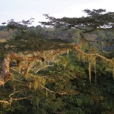
Nationaal park Dzanga-Ndoki
342.1 km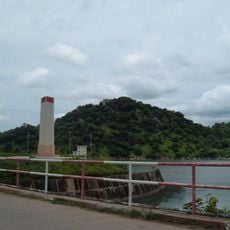
Lagdo Reservoir
419.2 km
Wildreservaat Dja
393 km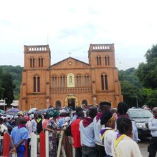
Cathédrale Notre-Dame (Bangui)
363.8 km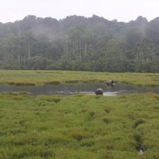
Mbeli Bai
374.8 km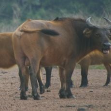
Nationaal park Lobéké
362.9 km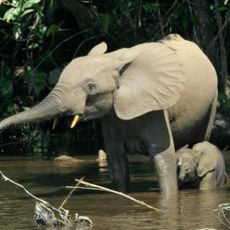
Sangha Trinational
328.7 km
Mont Ngaoui
151.5 km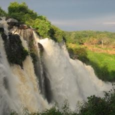
Chutes de Boali
290.9 km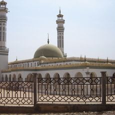
Lamido Grand Mosque
293.2 km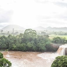
Chute de la Vina
284.7 km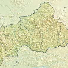
Mbaéré Bodingué National Park
261.9 km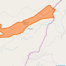
Mbéré Valley National Park
183.7 km
Wildreservaat Ngoila
390.7 km
Sacred Heart Cathedral, Moundou
347.6 km
Chutes de Lancrenon
183.6 km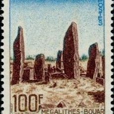
Bouar megaliths
51.5 km
Bouar Sub-Prefecture
55.6 km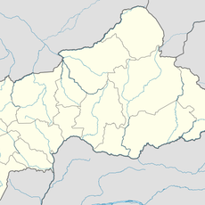
Chutes de Djamila
301.3 km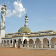
Lamidat de Ngaoundéré
292.9 km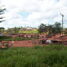
Ville de Lomié
333.4 km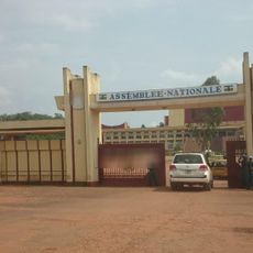
National Assembly of the Central African Republic building
361.3 km
Cathedral of Our Lady of the Immaculate Conception, Batouri
173.2 km
Faro Reserve
429.8 km
Nki Nationalpark
357.8 kmHeeft u deze plek bezocht? Tik op de sterren om een beoordeling te geven en uw ervaring of foto's te delen met de community! Probeer het nu! U kunt het op elk moment annuleren.
Ontdek verborgen schatten op elk avontuur!
Van karakteristieke kleine cafeetjes tot geheime uitzichtpunten – ontvlucht de drukte en vind plekken die echt bij jou passen. Onze app maakt het makkelijk: spraakzoekopdrachten, slimme filters, geoptimaliseerde routes en authentieke tips van reizigers wereldwijd. Download nu en beleef het avontuur op je smartphone!

Een nieuwe benadering van toeristische ontdekking❞
— Le Figaro
Alle plekken die de moeite waard zijn om te ontdekken❞
— France Info
Een uitstapje op maat in slechts een paar klikken❞
— 20 Minutes